PlaceTrace
Photograph a place in Ireland to identify it, uncover local history, and find nearby walks, cafés and events—with community-verified updates.
What PlaceTrace could become
PlaceTrace is an AI-powered discovery app for Ireland that helps people identify a photographed place, learn its local history, and find nearby walks, cafés, and events. Its promise is simple: take a photo of somewhere you have seen, and get useful, locally grounded answers about what it is and what you can do nearby.
That promise brings together several needs that are often split across different tools. A visitor might use image search to recognize a building, a map app to find a walking route, a tourism website to research the area, and social media to discover a café or local event. PlaceTrace could make that experience feel more connected.
The opportunity is not just to identify landmarks. It is to help people move from curiosity to a practical next step: “What is this place?” becomes “What is its story?”, followed by “Where can I walk, eat, or go from here?”
For the product to earn trust, PlaceTrace must do more than generate convincing descriptions. It needs to distinguish verified facts from AI-generated suggestions, respect the rights and privacy of people in photographs, and make it easy for local communities to correct outdated information.
The user intent behind an AI place identification app in Ireland
People searching for a place identification app may have different goals, but they usually want an answer quickly and with enough confidence to act on it. A strong product should support several related intents.
- Identify a place from a photo. A user may have photographed a ruin, bridge, coastline, street, church, or mountain without knowing its name.
- Understand its local history. The user wants an accessible explanation, not a long research assignment.
- Plan something nearby. They may want a walk, a café, a family-friendly activity, or an event.
- Check whether information is current. A trail may be closed, a business may have changed its hours, or an event may have ended.
- Share a discovery. A visitor or local may want to save a location, send it to a friend, or add a useful correction.
These needs influence the product design. PlaceTrace should give users a useful first answer quickly, but also reveal the evidence and source behind that answer. In a place-discovery product, a confident but incorrect identification is worse than a transparent response such as “This could be one of three locations—here is how to check.”
Target audience for PlaceTrace
PlaceTrace should begin with a focused audience rather than attempting to serve every person interested in Ireland. A clear initial segment will make it easier to choose the right content, partnerships, and product features.
Visitors exploring Ireland
Independent travelers often discover places outside a fixed itinerary. They may stop at a scenic viewpoint, pass an unfamiliar historic building, or find a signposted trail while driving or walking. PlaceTrace can help turn those unplanned moments into discoveries.
For this audience, the most valuable capabilities are:
- Fast photo-based identification
- Clear directions and location context
- Short, readable history summaries
- Nearby walks and places to eat
- Practical details such as accessibility, opening hours, and trail conditions
- Language and unit settings that support international visitors
A visitor’s time is limited, so results should be concise and actionable. A long history article can be available for people who want to explore further, but the first screen should answer the immediate question.
Irish residents and domestic explorers
Residents may recognize popular attractions but still be unfamiliar with nearby heritage sites, local walking routes, or the stories attached to places they pass every day. PlaceTrace can encourage local exploration by connecting lesser-known locations to practical activities.
This group may also be more likely to contribute corrections. Residents can flag a closed path, update a local business listing, clarify a place name, or add context that is missing from a generic description. Their knowledge can become a meaningful part of the product’s quality system.
Walkers and outdoor visitors
People planning a walk need more than a route name. They want to know where a trail starts, how long it takes, what the terrain is like, and whether there are restrictions or safety considerations. PlaceTrace can help users move from a landmark or landscape photo to relevant walking options.
Outdoor information requires special care. Conditions change, routes can be temporarily closed, and an AI model should not invent safety guidance. The product should label the source and update date for route details, and it should direct users to an authoritative source when conditions need confirmation.
Local businesses and community organizations
Cafés, visitor attractions, tourism groups, heritage organizations, and event organizers may want accurate visibility when a person explores a nearby area. PlaceTrace could offer these organizations a way to maintain their information or submit updates.
The product should avoid turning every discovery screen into an advertisement. Recommendations need to remain relevant, transparent, and useful. Users should be able to distinguish a sponsored placement from an organic suggestion.
Educators and heritage enthusiasts
Teachers, students, local historians, and heritage groups may use PlaceTrace to introduce places and prompt further research. For these users, provenance matters: a summary should indicate where its claims came from and where a reader can learn more.
The market opportunity and product gap
PlaceTrace would operate across several established categories: visual search, travel planning, mapping, local discovery, and heritage interpretation. That overlap creates competition, but it also reveals a product gap.
Many tools can solve one part of the journey. A map can locate a place. A search engine can return pages about it. A tourism platform can recommend attractions. A camera-based recognition tool can suggest what appears in an image. The opportunity is to connect these functions into a single, place-centered experience designed for Ireland.
The gap is between recognition and exploration
Identifying a landmark is useful, but recognition alone does not answer the next questions:
- Why is this place significant?
- What should I look for when I visit?
- Is there a walk nearby?
- Is the information current?
- Can I support a local business or community attraction?
PlaceTrace can position itself around that complete journey. The central product is not simply image recognition; it is photo-to-place-to-local-experience discovery.
Local context is a potential differentiator
General-purpose AI can produce fluent summaries, but fluency does not guarantee accuracy. Local history often includes similar place names, contested interpretations, oral histories, and details that require careful sourcing. A product focused on Ireland can build stronger local context by combining trusted reference material with community review.
PlaceTrace should not present AI output as historical authority. Instead, AI can help users navigate information while reputable sources provide the factual foundation. Heritage organizations, local archives, tourism bodies, and community groups may become potential content partners, subject to their licensing and editorial requirements.
Community verification can improve freshness
A static directory can become outdated. Businesses close, trail access changes, and events expire. Community updates can make the service more responsive, especially for information that is difficult to keep current through a single data provider.
However, community contributions need moderation. The product should record who submitted an update, when it was submitted, whether it has been reviewed, and what source supports it. “Community verified” should be a meaningful status—not a vague trust badge.
How to evaluate demand before building
Avoid relying on broad claims about the size of the travel or AI market. Instead, validate the specific use case:
- Interview visitors, residents, walkers, and local tourism operators.
- Ask participants to describe the last time they saw an unfamiliar place and how they identified it.
- Test whether they would use a photo-first flow or prefer map and text search.
- Measure the importance of local history compared with practical recommendations.
- Test what level of source transparency users expect.
- Run a small pilot in a clearly defined geographic area.
If you publish market-size figures, support them with dated sources from authoritative tourism, government, or industry research. Avoid presenting a broad travel statistic as proof that people will adopt this particular product.
Core PlaceTrace features and how they should work
A compelling first version should deliver a complete, trustworthy discovery loop without attempting to build a comprehensive travel platform on day one.
Photo-based place identification
Users should be able to take or upload a photograph and receive a set of likely matches. The system may analyze visual features and compare them with a curated or licensed location catalog. It can also use contextual signals—such as the user’s approximate location, if permission is granted—to narrow the results.
A strong result should include:
- The most likely place name
- A confidence indicator or plain-language uncertainty statement
- A short explanation of why the match is plausible
- Alternative matches when uncertainty is high
- A map location and distance from the user
- A way to correct or report a wrong identification
PlaceTrace should not imply that a match is certain simply because the model returns a high internal score. Confidence should be tested against real-world examples, including similar-looking buildings, changing seasons, poor lighting, and photographs taken from unusual angles.
Local history summaries with sources
Once a place is identified, the app can provide a short introduction and an option to read more. The summary should separate well-supported facts from interpretation, folklore, or user-submitted material.
A useful content format might include:
- A concise overview
- Important dates or historical periods, when supported
- Notable architectural or landscape features
- Local stories clearly labeled as tradition or folklore
- Links or citations to the underlying sources
- The date the information was last reviewed
AI can help summarize approved source material, but it should not invent citations or fill missing facts with plausible-sounding details. If the system cannot verify a claim, it should omit it or label the uncertainty.
Nearby walks, cafés, and events
Recommendations should be based on the identified place and the user’s needs. Relevant filters could include distance, estimated duration, family suitability, accessibility information, indoor or outdoor options, and current availability.
The app should clearly distinguish different data types:
- Stable information, such as a building’s historical name
- Frequently changing information, such as opening hours
- Time-sensitive information, such as event listings
- Safety-relevant information, such as access restrictions or route conditions
The more frequently information changes, the more important it is to show its source and last-updated date. If reliable current data is unavailable, PlaceTrace should say so rather than imply that a listing is confirmed.
Community-verified updates
Community members can help improve local coverage by submitting corrections and additions. Useful contributions could include correcting a place name, reporting a path closure, updating a business detail, or adding a source for a historical note.
A practical verification process should include:
- Structured submissions rather than unrestricted edits to every field.
- Moderation queues for sensitive or disputed claims.
- Source prompts for factual changes.
- Clear contribution history and timestamps.
- Reversible edits and a way to report abuse.
- Different review standards for low-risk and high-risk information.
For example, a spelling correction may require a lighter review than a claim about access rights, ownership, or a potentially hazardous route.
Saving and sharing discoveries
Users should be able to save places to a personal list and share a location or short itinerary. This feature supports repeat use and helps PlaceTrace become more than a one-time image lookup tool.
A saved item might include the identified place, a short note, nearby recommendations, and the date the user saved it. Sharing should avoid exposing a user’s private location history or exact camera metadata.
Competitive positioning and PlaceTrace’s advantage
PlaceTrace will not win by claiming to have more information than every map, search, travel, and heritage service. Its advantage should come from combining those information types into a focused, trustworthy experience.
| Product dimension | Generic search or maps | Travel and tourism listings | PlaceTrace opportunity |
|---|---|---|---|
| Starting point | Text query or map view | Destination or category | Photo of a place the user has encountered |
| Local history | Spread across search results | Often focused on major attractions | Concise, sourced context connected to the location |
| Next action | Requires another search | May offer curated activities | Nearby walks, cafés, and events in the same flow |
| Freshness | Varies by source | Depends on listing maintenance | Visible update dates and structured community corrections |
The strongest defensible advantage is not the use of AI by itself. Visual recognition models can be replicated or accessed through third-party services. A more durable advantage could come from a combination of:
- A high-quality, Ireland-focused place catalog
- Clear source provenance for local history
- A reliable community correction workflow
- Useful connections between landmarks and nearby activities
- Trust earned through transparent uncertainty and careful moderation
- Partnerships with local organizations and tourism stakeholders
This is a product advantage built through data quality, relationships, and user confidence—not a feature checklist alone.
Recommended technology stack for an AI place discovery app
The best stack depends on team expertise, expected traffic, data providers, and whether PlaceTrace launches as a web app, mobile app, or both. The early priority should be a secure, maintainable product that can test the core user journey.
Front end and product experience
A web-first MVP can use React with Next.js for the interface and server-rendered pages. This supports shareable place pages and can help make editorial content discoverable through search engines.
For styling, Tailwind CSS can support rapid interface development, though a component system and accessibility standards still need deliberate design. The photo submission flow should be easy to use on mobile, with clear upload limits and permission prompts.
If a mobile app is essential at launch, assess whether a cross-platform framework fits the team’s skills and required camera experience. Do not build separate native apps before validating whether a responsive web experience meets the needs of the initial audience.
Backend, database, and location search
A relational database such as PostgreSQL is a good foundation for place records, source references, user corrections, and moderation state. A geospatial extension such as PostGIS can support “near me” searches, distance calculations, and geographic filtering.
The backend should keep important data models distinct:
- Places and alternate names
- Source records and citations
- User-submitted corrections
- Walks and route information
- Businesses and event listings
- Moderation and audit history
That separation makes it easier to track where information came from and to update one category without overwriting another.
Image recognition and language models
PlaceTrace can begin with a third-party vision API or a managed machine-learning service rather than training a custom recognition model immediately. This reduces initial infrastructure work, but it creates trade-offs around cost, latency, vendor dependence, data handling, and model performance on Irish locations.
A sensible architecture separates the recognition pipeline into stages:
- Validate the image and remove unnecessary metadata.
- Detect whether the image is suitable for place identification.
- Generate candidate matches using visual and geographic signals.
- Retrieve approved place and source records.
- Produce a short response grounded in those records.
- Return uncertainty and citations alongside the answer.
The language model should not be allowed to invent a location record or historical source. It should work from retrieved, approved material and clearly indicate when the evidence is insufficient.
Maps and geospatial providers
Mapping choices affect licensing, cost, design flexibility, and data coverage. Evaluate providers based on their terms for displaying maps, storing geocoding results, using route data, and combining data from multiple sources.
Open geographic datasets can be valuable, but their licenses and attribution rules must be reviewed before they are used in a commercial product. Do not assume that information visible on a map can be freely copied into PlaceTrace’s own database.
A starter platform for shipping sooner
A starter kit can reduce the time spent on routine product infrastructure, allowing a small team to focus on image identification, data quality, and user research. TurboStarter is one option to evaluate when choosing a foundation for a SaaS product.
Compare any starter platform against the actual needs of PlaceTrace: authentication, deployment, billing, maintainability, customization, and the team’s preferred stack. A starter kit accelerates setup; it does not replace product validation, security review, or thoughtful data architecture.
Privacy, safety, and trust requirements
A photo-based app needs a privacy plan from the beginning. Images may contain faces, children, license plates, private property, or location metadata. PlaceTrace should collect only what it needs and communicate clearly how uploads are processed and retained.
Before launch, establish:
- A clear image-retention policy
- A process for deleting user uploads
- Controls for stripping or minimizing unnecessary metadata
- Consent and permission flows for location access
- A process for handling requests to remove sensitive content
- Access controls and audit logs for moderation tools
- A review of applicable privacy and data-protection obligations
The product should also consider physical safety. Recommendations for walks should not imply that a route is safe, accessible, or open unless that information is supported by a suitable source. Users should be encouraged to check current conditions where appropriate.
Monetization strategies for PlaceTrace
PlaceTrace should monetize in ways that support discovery rather than compromise it. A free core experience is likely important for adoption, while paid products can serve users and organizations with deeper needs.
Freemium for travelers and residents
The free plan could include a limited number of photo identifications, local history summaries, and nearby recommendations. A paid plan might offer unlimited saved places, custom trip collections, offline access to saved information, or more advanced itinerary planning.
The product should test willingness to pay before choosing usage limits. A harsh paywall at the moment of discovery could undermine the app’s core value.
Sponsored local recommendations
Local businesses may pay for clearly labeled promoted placements or enhanced profile tools. Sponsored suggestions should remain relevant to the user’s location and preferences, and paid status must never be presented as community verification.
To protect trust, PlaceTrace should define editorial rules for sponsorship and give users a way to distinguish advertising from organic recommendations.
Business and destination subscriptions
Businesses, attractions, and tourism organizations could pay to maintain detailed listings, submit updates, publish events, or access aggregate performance insights. These tools should be useful without allowing paying customers to alter independent historical content or remove legitimate community feedback.
Partnerships and licensing
If PlaceTrace builds high-quality place records or a useful local discovery interface, it may explore partnerships with tourism, education, or heritage organizations. Any data licensing model should respect the rights and terms of the original sources.
Potential revenue streams can coexist, but the first model should be tested against the audience that uses the core product most often.
Risks and mitigation strategies
PlaceTrace’s biggest risks are not limited to technology. They include inaccurate identification, weak source quality, stale recommendations, legal uncertainty, and a product scope that grows too quickly.
Incorrect place identification
Risk: A model confuses similar buildings, viewpoints, or landscapes.
Mitigation: Show multiple candidates when confidence is low, use location context only with permission, let users correct results, and track performance across different regions and image conditions. Do not claim accuracy until it has been measured on representative Irish place data.
Hallucinated or oversimplified history
Risk: An AI-generated summary presents unsupported claims as fact.
Mitigation: Ground summaries in approved sources, retain source references, use human review for sensitive topics, and display uncertainty. Keep folklore, interpretation, and documented history clearly distinct.
Outdated business, event, or route information
Risk: Users arrive at a closed venue or follow an outdated route listing.
Mitigation: Show last-updated dates, support owner and community updates, expire time-sensitive records, and make correction reporting easy. For safety-related information, link users to an authoritative current source where available.
Community contribution abuse
Risk: Users submit spam, malicious changes, or contested claims.
Mitigation: Use reputation and moderation workflows, retain a change history, provide rollback, and apply stronger review to sensitive information. Community verification should indicate the nature of the review, not merely that someone clicked a confirmation button.
Privacy and image-handling concerns
Risk: Users unknowingly upload sensitive images or location data.
Mitigation: Explain image processing in plain language, minimize retention, limit staff access, and provide deletion controls. Seek qualified advice on data-protection requirements before collecting personal data at scale.
Licensing and source attribution
Risk: The app uses maps, photographs, text, or location data outside the rights granted by a provider.
Mitigation: Keep a data inventory, document licenses and attribution requirements, and review provider terms before importing or redistributing data. Obtain legal advice when terms are unclear.
Scope creep
Risk: The team attempts to build an image search engine, travel marketplace, social network, event platform, and navigation app at once.
Mitigation: Focus the MVP on one loop: identify a place, explain it with sources, and offer a small set of useful nearby options. Add broader planning features only when user behavior supports them.
Actionable implementation steps
A disciplined launch should validate the hardest assumptions before investing in broad coverage or complex AI infrastructure.
Define the first user and region
Choose a specific initial audience and pilot area. For example, the first version could serve independent visitors exploring a defined region or residents looking for local walks. Set boundaries for the initial place catalog so the team can measure quality rather than claim nationwide coverage prematurely.
Build a trusted place dataset
Create a small, well-documented catalog with place names, alternate names, coordinates, approved source references, and review dates. Record the usage rights for every external data source. Prioritize a high-quality dataset over a large but poorly sourced one.
Prototype the discovery flow
Test the core journey with a clickable prototype or lightweight web application. Ask users to submit real photographs and observe whether the results answer their questions. Pay attention to how they interpret uncertainty, citations, and nearby recommendations.
Measure recognition quality
Build an evaluation set that reflects real conditions: distant images, poor lighting, seasonal changes, similar-looking sites, and photographs taken from different angles. Track top-match accuracy and the rate of confident but incorrect answers. Use those results to decide whether a third-party vision service is adequate for the pilot.
Launch a geographically focused MVP
Release photo identification, sourced summaries, a small number of nearby recommendations, and a clear correction flow. Avoid adding features that do not improve the main discovery loop. Make sure the app works well on mobile before investing in additional platforms.
Add moderation and freshness workflows
Create internal tools for reviewing corrections, updating sources, and expiring stale events or listings. Test the process with a small group of local contributors before opening submissions widely.
Measure behavior and improve
Track meaningful product signals such as successful identification, result corrections, source opens, saved places, nearby recommendation engagement, and repeat use. Treat a photo upload as an input—not proof that the user found the answer useful.
A useful pilot should answer a few specific questions: Do users trust the identification? Do they read the local history? Do they act on nearby recommendations? Are local contributors willing to maintain information? Those answers should shape the next release.
What success could look like
PlaceTrace should measure both product performance and information quality. Growth alone is not enough if people repeatedly receive wrong matches or outdated recommendations.
Potential indicators include:
- The share of photo searches that return a useful match
- The frequency of user corrections and their resolution time
- Engagement with cited sources
- Saves and shares of identified places
- Click-throughs on relevant nearby suggestions
- Repeat use by residents and visitors
- The percentage of time-sensitive listings reviewed within a defined period
- User reports of inaccurate or unsafe information
The team should define each metric carefully. For example, a high click-through rate on a café listing does not prove that the listing was accurate or useful. Combine behavioral measures with user feedback and editorial quality checks.
Frequently asked questions
Is PlaceTrace just an AI photo recognition app?
No. Photo recognition is the entry point, but the product concept is broader. PlaceTrace aims to identify a place, explain its local context with sourced information, and connect users with nearby walks, cafés, and events.
Can AI reliably identify any place in Ireland from a photo?
No system should promise that. Recognition depends on image quality, the distinctiveness of the place, available reference data, and contextual clues. PlaceTrace should communicate uncertainty and offer alternative matches when the evidence is not strong.
How should PlaceTrace make local history trustworthy?
The product should ground summaries in reputable sources, keep citations attached to claims, show when material was reviewed, and distinguish documented history from folklore or interpretation. AI can help organize and summarize information, but it should not replace source verification.
What is the best way to launch PlaceTrace?
Start with a specific audience and a limited geographic area. Build a well-sourced place catalog, test photo identification with real images, and validate whether users value the complete discovery journey. Expand coverage when the team can maintain quality.
How could PlaceTrace earn revenue?
Possible models include a freemium consumer plan, clearly labeled sponsored local recommendations, subscriptions for businesses or destination organizations, and carefully governed partnerships. The chosen model should preserve user trust and keep recommendations relevant.
The core product principle
PlaceTrace should be confident about what it can verify, transparent about what it cannot, and useful about what the user can do next.
The opportunity for PlaceTrace
PlaceTrace has a clear product premise: use a photograph as the starting point for discovering the places, stories, and local experiences around it. Its strongest opportunity is to connect visual recognition with Ireland-focused context and useful next steps, while making accuracy and source transparency central to the experience.
The best implementation is not the one with the most AI features. It is the one that helps people identify places reliably, learn something worth remembering, and make a better decision about where to go next. Start with a focused pilot, build trust into the data model and interface, and let real user behavior determine what PlaceTrace becomes.
More 🤖 AI Startup SaaS ideas
Discover more innovative ai startup SaaS ideas that are trending in 2026. Each idea is AI-generated with market validation and growth potential to help you find your next profitable venture faster than competitors.
Your competitors are building with TurboStarter
Below are some of the SaaS ideas that have been generated and built with our starter kit.

Statiko
Monitor any Telegram channel in real time - track posts, edits, deletions, and growth with AI recaps 📡
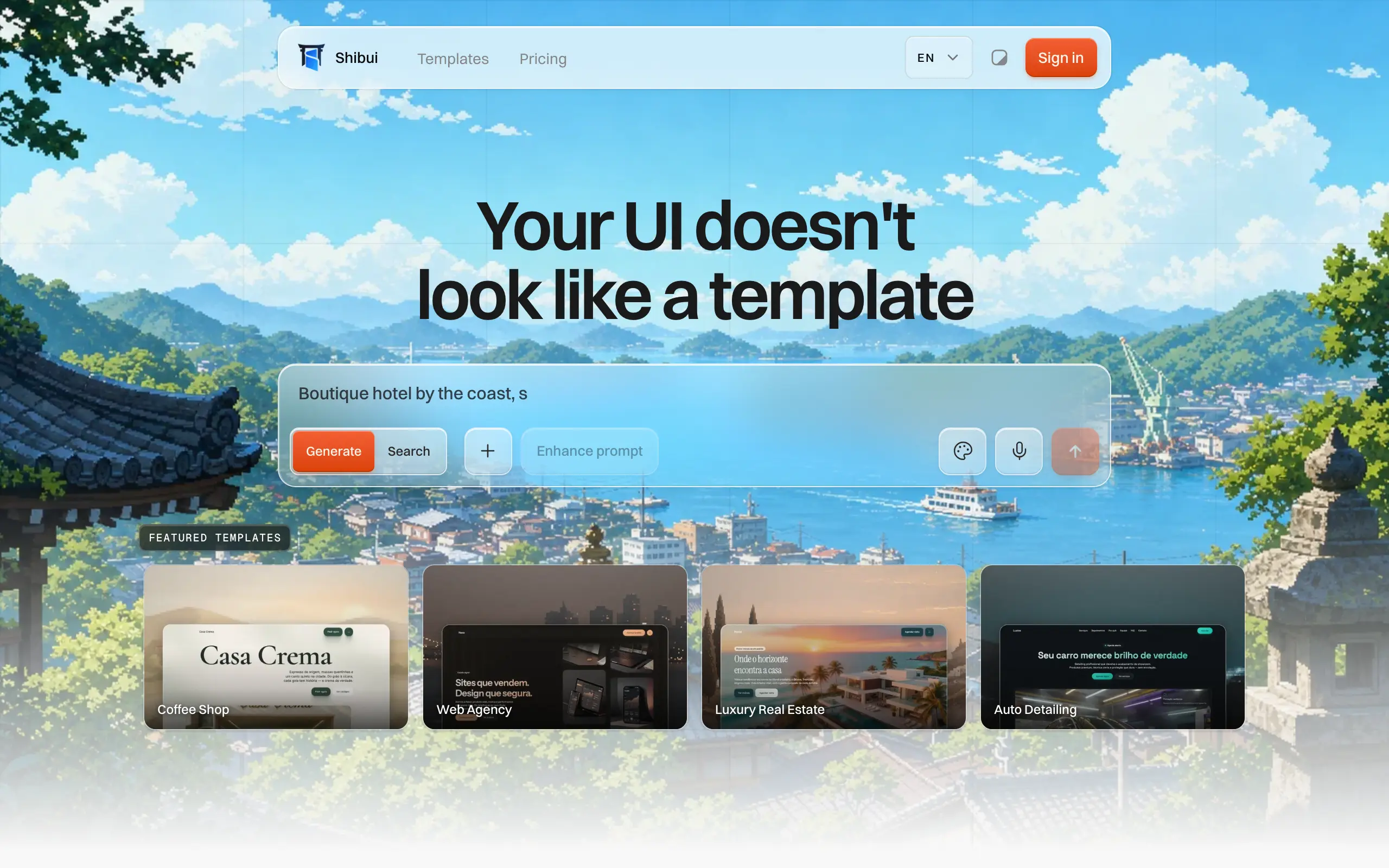
Shibui
AI website builder - describe your business, pick a niche template, edit by chatting, and publish instantly ✨

Pro Service
Find verified home service professionals, compare quotes, and pay securely through escrow - built for Brazilians across the US 🏠
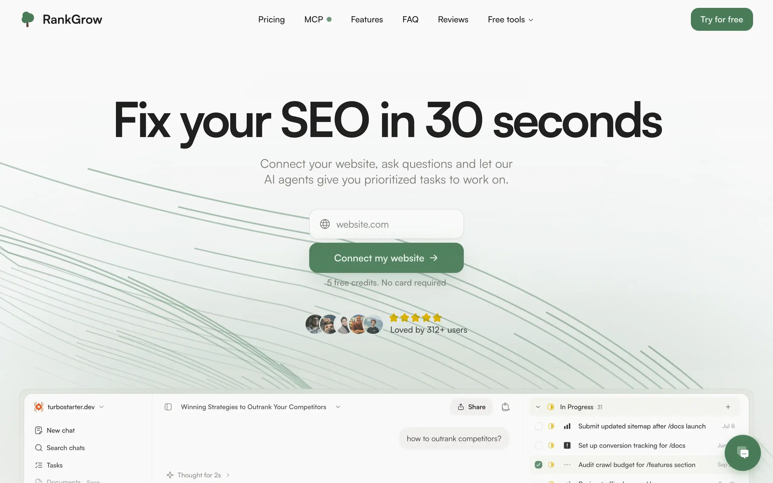
RankGrow
Fix your SEO with AI agents - connect Search Console, get prioritized tasks, and grow organic traffic 📈
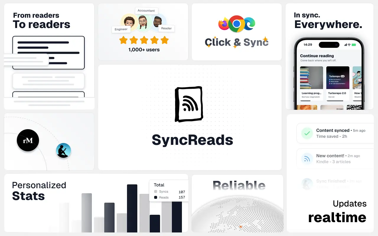
SyncReads
Sync your favorite content for distraction-free reading, save time and replace multiple apps. Anytime, anywhere 🔄
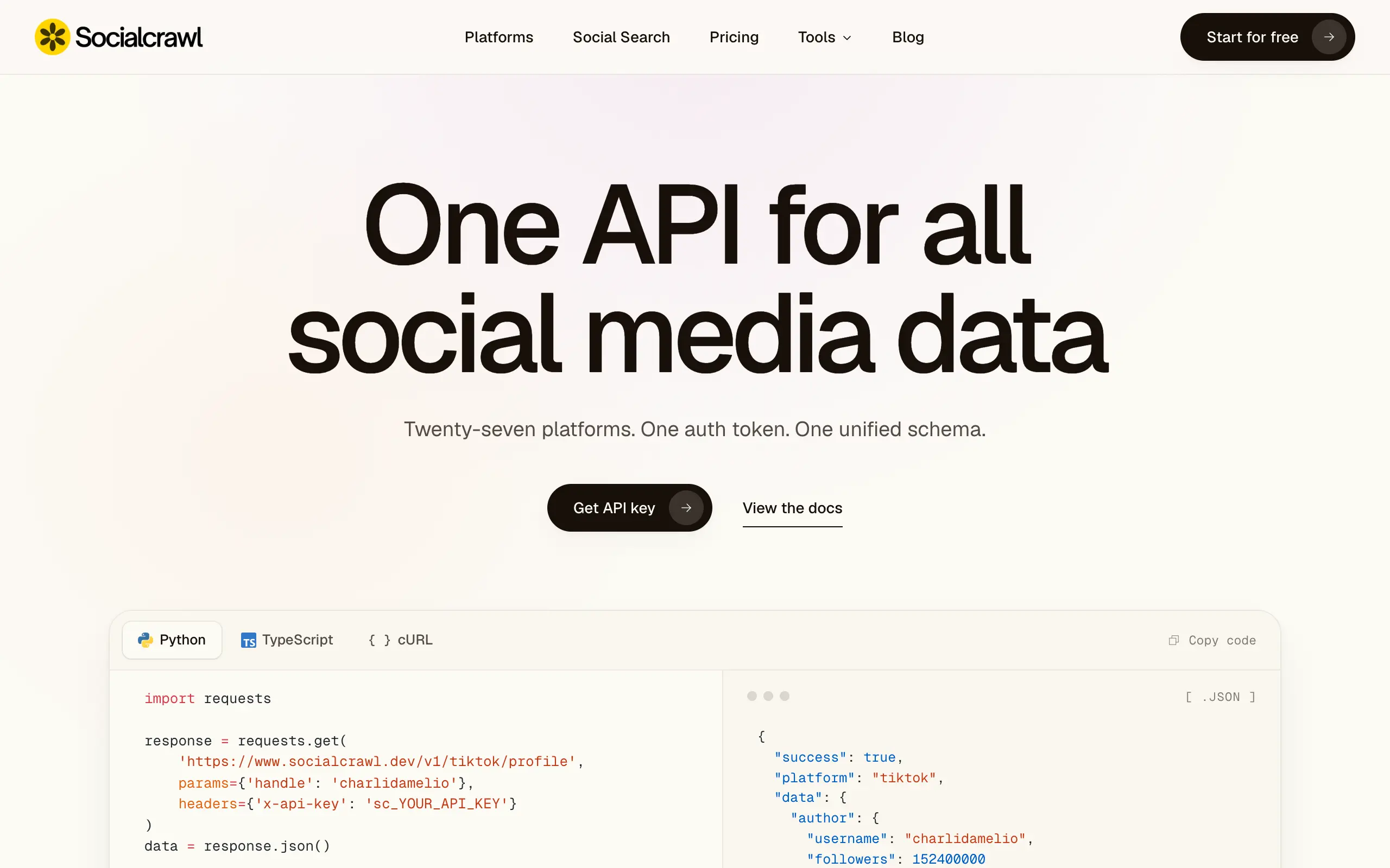
Socialcrawl
Get clean, structured data from 21 platforms like TikTok, Instagram, and YouTube with a single request 📊
Statiko
Monitor any Telegram channel in real time - track posts, edits, deletions, and growth with AI recaps 📡
Shibui
AI website builder - describe your business, pick a niche template, edit by chatting, and publish instantly ✨
Pro Service
Find verified home service professionals, compare quotes, and pay securely through escrow - built for Brazilians across the US 🏠
RankGrow
Fix your SEO with AI agents - connect Search Console, get prioritized tasks, and grow organic traffic 📈
SyncReads
Sync your favorite content for distraction-free reading, save time and replace multiple apps. Anytime, anywhere 🔄
Socialcrawl
Get clean, structured data from 21 platforms like TikTok, Instagram, and YouTube with a single request 📊
Statiko
Monitor any Telegram channel in real time - track posts, edits, deletions, and growth with AI recaps 📡
Shibui
AI website builder - describe your business, pick a niche template, edit by chatting, and publish instantly ✨
Pro Service
Find verified home service professionals, compare quotes, and pay securely through escrow - built for Brazilians across the US 🏠
RankGrow
Fix your SEO with AI agents - connect Search Console, get prioritized tasks, and grow organic traffic 📈
SyncReads
Sync your favorite content for distraction-free reading, save time and replace multiple apps. Anytime, anywhere 🔄
Socialcrawl
Get clean, structured data from 21 platforms like TikTok, Instagram, and YouTube with a single request 📊
Statiko
Monitor any Telegram channel in real time - track posts, edits, deletions, and growth with AI recaps 📡
Shibui
AI website builder - describe your business, pick a niche template, edit by chatting, and publish instantly ✨
Pro Service
Find verified home service professionals, compare quotes, and pay securely through escrow - built for Brazilians across the US 🏠
RankGrow
Fix your SEO with AI agents - connect Search Console, get prioritized tasks, and grow organic traffic 📈
SyncReads
Sync your favorite content for distraction-free reading, save time and replace multiple apps. Anytime, anywhere 🔄
Socialcrawl
Get clean, structured data from 21 platforms like TikTok, Instagram, and YouTube with a single request 📊
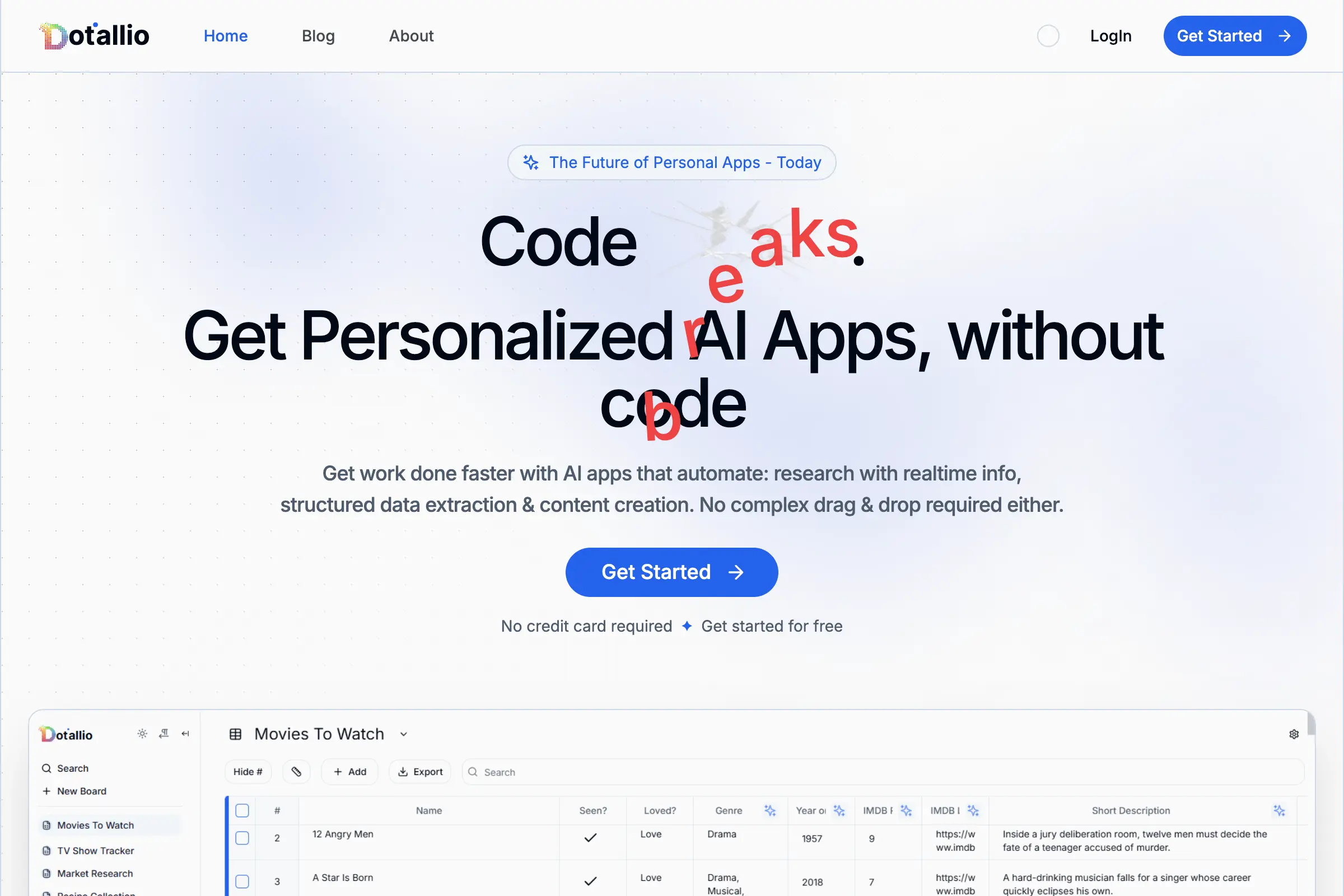
Dotallio
Personalized AI apps that automate research, data extraction, and content creation without code 🤖

Talk to Santa
Enjoy a magical live video chat or receive a unique AI-generated video greeting from Santa Claus 🎅

pozywka.pl
Scalable blog for food journalist, focused on performance and user experience 🌭
zagrodzki.me
Personal blog and portfolio of Bart Zagrodzki, where he shares his knowledge and work 💼
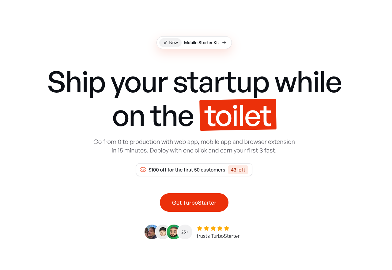
TurboStarter
Ship your startup everywhere. In minutes.
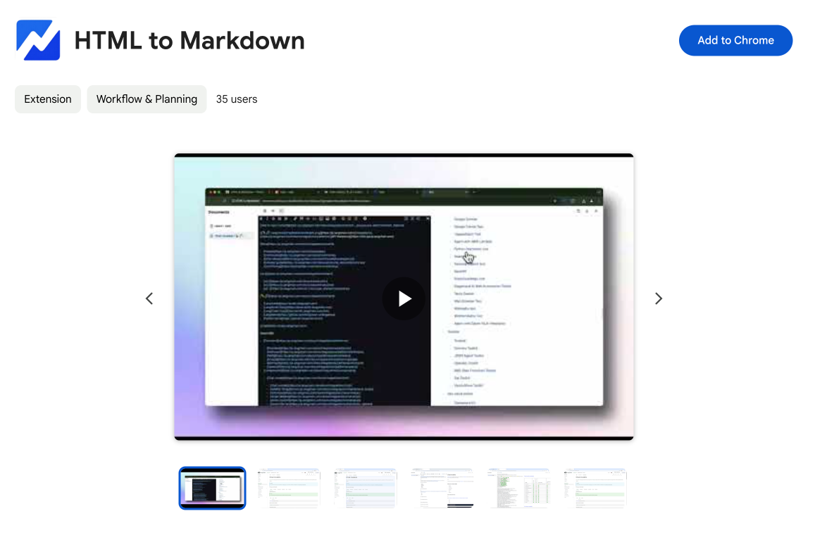
HTML to Markdown
Convert HTML to Markdown with ease, directly in your browser 📄
Dotallio
Personalized AI apps that automate research, data extraction, and content creation without code 🤖
Talk to Santa
Enjoy a magical live video chat or receive a unique AI-generated video greeting from Santa Claus 🎅
pozywka.pl
Scalable blog for food journalist, focused on performance and user experience 🌭
zagrodzki.me
Personal blog and portfolio of Bart Zagrodzki, where he shares his knowledge and work 💼
TurboStarter
Ship your startup everywhere. In minutes.
HTML to Markdown
Convert HTML to Markdown with ease, directly in your browser 📄
Dotallio
Personalized AI apps that automate research, data extraction, and content creation without code 🤖
Talk to Santa
Enjoy a magical live video chat or receive a unique AI-generated video greeting from Santa Claus 🎅
pozywka.pl
Scalable blog for food journalist, focused on performance and user experience 🌭
zagrodzki.me
Personal blog and portfolio of Bart Zagrodzki, where he shares his knowledge and work 💼
TurboStarter
Ship your startup everywhere. In minutes.
HTML to Markdown
Convert HTML to Markdown with ease, directly in your browser 📄
Dotallio
Personalized AI apps that automate research, data extraction, and content creation without code 🤖
Talk to Santa
Enjoy a magical live video chat or receive a unique AI-generated video greeting from Santa Claus 🎅
pozywka.pl
Scalable blog for food journalist, focused on performance and user experience 🌭
zagrodzki.me
Personal blog and portfolio of Bart Zagrodzki, where he shares his knowledge and work 💼
TurboStarter
Ship your startup everywhere. In minutes.
HTML to Markdown
Convert HTML to Markdown with ease, directly in your browser 📄
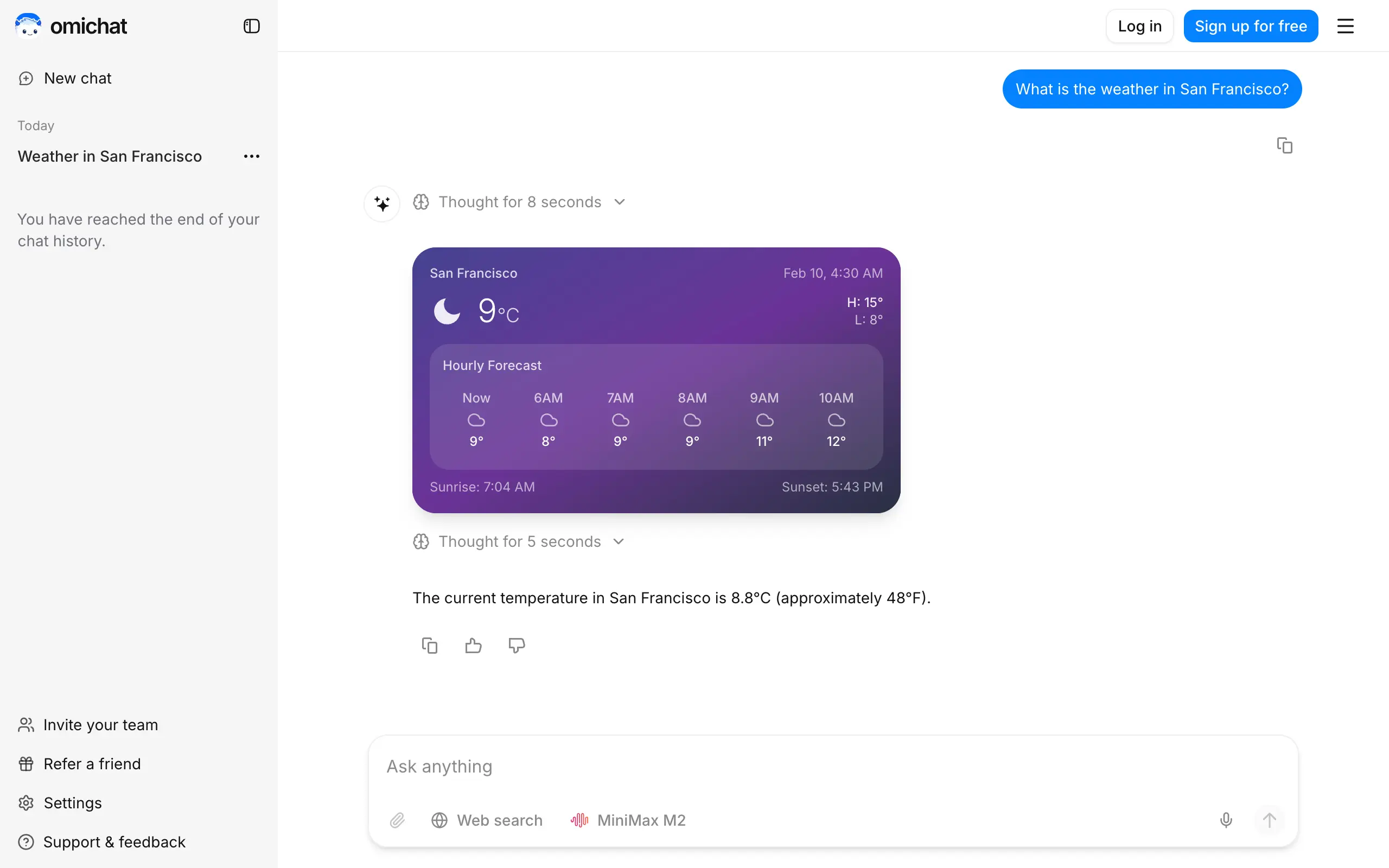
Omichat
Chat with 50+ AI models, including ChatGPT and Claude, in one place - switch models anytime without losing context 🤖
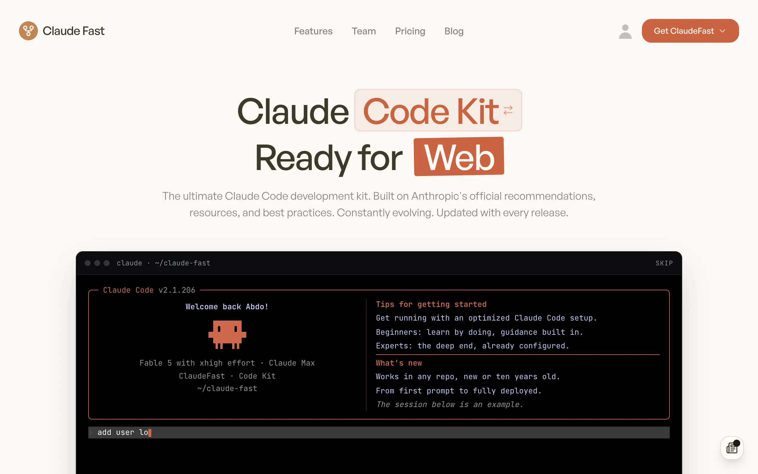
Claude Fast
Supercharge your Claude Code with 6x effective context window and specialized AI agents 🤖

EmojAI
AI-powered emoji picker with smart, context-aware suggestions 🤖
Solohacker
Autonomous company launcher - AI agents work 24/7, escalate what matters, and you stay in control 🤖

BeRawi: Storytelling Coach
Practice storytelling daily with instant feedback to sound clearer, more engaging, and confident 🎤
Omichat
Chat with 50+ AI models, including ChatGPT and Claude, in one place - switch models anytime without losing context 🤖
Claude Fast
Supercharge your Claude Code with 6x effective context window and specialized AI agents 🤖
EmojAI
AI-powered emoji picker with smart, context-aware suggestions 🤖
Solohacker
Autonomous company launcher - AI agents work 24/7, escalate what matters, and you stay in control 🤖
BeRawi: Storytelling Coach
Practice storytelling daily with instant feedback to sound clearer, more engaging, and confident 🎤
Omichat
Chat with 50+ AI models, including ChatGPT and Claude, in one place - switch models anytime without losing context 🤖
Claude Fast
Supercharge your Claude Code with 6x effective context window and specialized AI agents 🤖
EmojAI
AI-powered emoji picker with smart, context-aware suggestions 🤖
Solohacker
Autonomous company launcher - AI agents work 24/7, escalate what matters, and you stay in control 🤖
BeRawi: Storytelling Coach
Practice storytelling daily with instant feedback to sound clearer, more engaging, and confident 🎤
Omichat
Chat with 50+ AI models, including ChatGPT and Claude, in one place - switch models anytime without losing context 🤖
Claude Fast
Supercharge your Claude Code with 6x effective context window and specialized AI agents 🤖
EmojAI
AI-powered emoji picker with smart, context-aware suggestions 🤖
Solohacker
Autonomous company launcher - AI agents work 24/7, escalate what matters, and you stay in control 🤖
BeRawi: Storytelling Coach
Practice storytelling daily with instant feedback to sound clearer, more engaging, and confident 🎤

Connect with like-minded people
Join our community to get feedback, support, and grow together with 1,000+ builders on board, let's ship it!
Join usShip your startup everywhere. In minutes.
Don't burn tokens on setup and start building features on day one.