TrailDay
Free hiking planner with SEO-ready pages for trail conditions, best seasons, parking tips, and family-friendly routes by location.
Why a free hiking planner is a strong consumer SaaS opportunity
TrailDay is positioned as a free hiking planner that turns fragmented local trail information into useful, SEO-ready location pages. Each page can help hikers answer practical questions before they leave home:
- Are trail conditions safe today?
- What season is best for this hike?
- Where can people park?
- Is the route suitable for children, beginners, dogs, or older hikers?
- How long will the hike realistically take?
- Are permits, reservations, closures, or weather warnings relevant?
This is a high-intent search category. People rarely search for trail parking, family-friendly hikes, or current trail conditions casually. They usually need an answer soon, often before a weekend trip or while already planning a route.
The central opportunity is not to build another generic trail directory. It is to create a location-first hiking planning experience that combines trip readiness, practical local details, seasonal recommendations, and consistently structured content.
TrailDay’s core value proposition is simple:
Help people confidently choose and prepare for the right hike in the right place at the right time.
That positioning differentiates TrailDay from large trail databases that often excel at route discovery but can leave gaps around local logistics, seasonal context, family suitability, and planning confidence.
The search behavior behind TrailDay
Users searching for phrases such as “best hikes near me,” “trail conditions in [location],” “where to park for [trail],” or “easy family hikes in [city]” are usually close to making a decision. That makes these pages valuable for both organic search acquisition and future local partnerships.
Target audience for a hiking planner like TrailDay
A successful hiking planner needs to avoid treating all hikers as one audience. The needs of a trail runner, a parent with two children, and a visitor on a short holiday are very different.
TrailDay should begin with a focused audience model, then expand its data and feature set around the highest-value use cases.
Primary audience segments
Weekend local hikers
People looking for a reliable nearby route, current conditions, parking guidance, and a quick decision before the weekend.
Families and beginners
Users who need easy routes, clear terrain expectations, safety details, toilets, stroller compatibility, and realistic timing.
Travelers and visitors
People unfamiliar with the area who need trusted hiking recommendations, access information, seasonal advice, and local trail etiquette.
Outdoor enthusiasts
More experienced hikers who want efficient route research, recent conditions, alternatives, and advanced filters.
Weekend local hikers
Local users are a particularly attractive initial audience because they have recurring needs. A person who hikes two or three times per month may use TrailDay repeatedly to compare conditions, identify routes, and plan around weather.
Their most common questions include:
- Which nearby trails are open this weekend?
- Which hike has reliable parking?
- Is the route muddy after recent rain?
- What are good sunrise or sunset hikes nearby?
- Which route fits a two-hour window?
- What trail should I choose based on my fitness level?
For this audience, freshness and convenience matter more than exhaustive trail encyclopedias. A clean page that clearly says “best after dry weather,” “parking fills by 9 a.m.,” and “expect a muddy descent” can be more useful than a long, unstructured list of route reviews.
Families, beginners, and accessibility-conscious hikers
This segment is often underserved by outdoor platforms that prioritize distance, elevation, and popularity. Families need richer planning details that are difficult to infer from a standard route profile.
TrailDay can create trust by covering information such as:
- Approximate time with children
- Toilet availability
- Shade and exposed sections
- Water access
- Picnic areas
- Safe turnaround points
- Creek crossings
- Stroller suitability
- Terrain difficulty in plain language
- Mobile reception expectations
- Nearby backup activities
The wording matters. “Easy” is subjective, so TrailDay should explain why a route is suitable or unsuitable. A 3-mile trail with 700 feet of elevation gain may be easy for an experienced hiker but not for a family carrying snacks, water, and a toddler.
Travelers planning a hiking day
Visitors represent a valuable organic search audience because they often search by destination. Queries such as “best hikes near Asheville,” “easy hikes in Banff,” or “where to hike near Sedona” combine a geographic intent with an immediate planning need.
Travelers usually require more logistical guidance than locals:
- Parking and trailhead navigation
- Reservation requirements
- Permit information
- Seasonal weather expectations
- Local closures
- Time-zone and daylight considerations
- Nearby accommodation or food options
- Cultural and conservation etiquette
TrailDay should prioritize destination pages that turn broad search demand into a structured decision journey. A page should not merely list trails. It should help a traveler choose the best route for their day.
Market gap in trail discovery and hiking trip planning
The outdoor recreation market has established platforms for maps, user-generated route reviews, activity tracking, and navigation. However, there is still room for a focused hiking planning product because the information needed before a hike remains scattered.
A user may need to check:
- A route database for distance and elevation
- A park website for official closures
- Search results for parking advice
- Weather sources for precipitation and heat
- Social media or local forums for recent mud, snow, or water conditions
- Maps for driving time and backup trailheads
This fragmented process creates a meaningful product gap.
The gap is not route discovery alone
Many trail products are designed around one of these jobs:
- Mapping trails
- Tracking a completed activity
- Publishing user reviews
- Selling guided trips
- Providing government park information
TrailDay can own a different job to be done:
“Help me decide whether this hike is a good choice today and show me exactly how to prepare for it.”
That decision-support layer is where the product can become indispensable.
Why structured local content matters
Search engines increasingly reward content that demonstrates first-hand usefulness, clarity, and strong topical coverage. For hiking content, generic copy will struggle. Users want practical details specific to a place.
A useful TrailDay page for a trail or destination should include:
- Current status and last verified update
- Best season and weather-related caveats
- Parking instructions and overflow alternatives
- Family and beginner suitability
- Route length, elevation, and estimated duration
- Surface and terrain notes
- Hazards and preparation advice
- Official land manager references
- Similar nearby routes
- A clear source and update policy
This is more helpful than an article that simply says a trail is “beautiful” or “worth visiting.”
Search opportunity clusters
TrailDay can build topical authority through location-based content clusters rather than isolated pages.
| Search cluster | Example user intent | TrailDay page type | Commercial value |
|---|---|---|---|
| Trail conditions | “trail conditions near me” | Conditions hub and trail updates | High repeat usage |
| Family hiking | “easy hikes for kids in [location]” | Family-friendly collection pages | Strong travel and local demand |
| Parking logistics | “where to park for [trail]” | Trail access guide | High decision intent |
| Seasonal planning | “best hikes in [location] in fall” | Seasonal destination guide | Strong editorial SEO |
| Beginner routes | “easy hikes near [city]” | Curated route lists | Broad acquisition potential |
| Trip planning | “what to bring for [trail]” | Trail preparation checklist | Newsletter and app conversion |
The SEO advantage comes from connecting these pages with thoughtful internal links. A trail condition page should link to relevant weather preparation guidance, nearby alternatives, family-friendly routes, and official park information where available.
The TrailDay product vision and unique selling proposition
TrailDay should not compete by trying to immediately catalog every hiking route worldwide. The stronger initial strategy is to become the most useful planning layer for selected regions.
Its unique selling proposition can be articulated as:
TrailDay is the free hiking planner that combines trail conditions, seasonal guidance, parking intelligence, and suitability details into clear local guides built for real trip decisions.
That proposition has four defensible components.
Practical information over generic inspiration
Travel content often focuses on scenic imagery and broad recommendations. TrailDay should lead with decision-critical facts.
For example, a page can surface:
- “Best for families before noon”
- “Avoid after heavy rain due to slippery clay sections”
- “Main lot fills early on weekends”
- “No toilet or water at the trailhead”
- “Good alternative when nearby canyon trails are closed”
This concise operational information builds user trust.
Clear suitability recommendations
TrailDay can stand out by making trail suitability explainable. Rather than offering only a star rating or difficulty tag, each route can include transparent recommendation criteria.
A family suitability score could account for:
- Grade and elevation gain
- Terrain stability
- Exposure to heat or cliffs
- Distance to a safe turnaround point
- Toilet and water availability
- Parking walk distance
- Navigation complexity
- Seasonal hazards
Users should always see the reasoning behind a recommendation. This creates a more trustworthy product and reduces the risk of users relying on an opaque score.
Verified and dated conditions
Conditions are one of the most valuable, but also riskiest, forms of outdoor content. TrailDay should distinguish carefully between:
- Official closure or warning information
- Verified partner updates
- Recent community reports
- Weather-derived planning signals
- Evergreen route guidance
Every condition should carry a timestamp and source type. “Reported muddy two days ago by a community contributor” is more responsible than presenting old information as current fact.
Location pages designed for organic discovery
SEO-ready pages are not simply pages generated from a keyword list. They must solve a real search task. TrailDay’s local pages can combine structured data, expert editorial review, local contributors, and useful page modules.
Examples include:
- Best family-friendly hikes near Boulder
- Trail conditions in the Columbia River Gorge
- Where to park for hikes in Acadia National Park
- Best spring hikes near Seattle
- Easy waterfall hikes near Asheville
- Rainy-day hiking alternatives near Portland
The product should make these pages genuinely useful before optimizing title tags or metadata.
Core features for a free hiking planner
The initial TrailDay experience should be simple enough to launch quickly while still offering a reason to return.
Location-first search and discovery
Users should be able to search by:
- City or region
- Park or protected area
- Trail name
- Hiking style
- Family suitability
- Time available
- Difficulty level
- Season
- Parking availability
- Current condition type
The default search experience should ask a planning question, not require expert trail knowledge. A visitor might select “easy hike within 30 minutes,” “good for kids,” and “available parking,” then receive a shortlist with transparent trade-offs.
Trail planning pages
Each trail page should include the information required for a real trip decision.
| Module | User question answered | Priority | Data source | SEO value |
|---|---|---|---|---|
| Route overview | Is this hike right for me? | High | Editorial and map data | High |
| Conditions panel | Is it safe and open today? | High | Official and verified reports | High |
| Parking guide | How do I access the trailhead? | High | Local research and users | High |
| Seasonality guide | When should I hike here? | Medium | Editorial and climate context | High |
| Family suitability | Can my group handle this? | Medium | Scoring model and editorial review | Medium |
Conditions and closure intelligence
Conditions are a central retention feature, but TrailDay should prioritize accuracy over volume. The first version does not need real-time coverage for every trail.
A sensible conditions architecture includes:
- Official alerts from land managers, parks, and agencies where available.
- Structured community updates with required fields such as date, weather, surface condition, obstruction, and confidence.
- Editorial moderation for high-traffic trails and destinations.
- Automated weather context that flags likely heat, rain, snow, wind, or lightning risks without claiming a trail is open or safe.
- Expiry logic that reduces the visibility of old user reports.
This approach protects user trust. A stale report should never appear as a current condition.
Parking and access guidance
Parking is a surprisingly powerful wedge for TrailDay. It is one of the most common pain points for popular hikes, especially near cities, national parks, beaches, and seasonal attractions.
A parking module can include:
- Main lot coordinates
- Lot size when known
- Typical busy periods
- Reservation requirements
- Fees and payment methods
- Overflow parking guidance
- Public transportation alternatives
- Road conditions and vehicle restrictions
- Accessible parking information
- Safe drop-off options
- Last verified date
Users will search for this information directly, which makes it valuable for SEO. It also provides a practical reason to save a TrailDay page rather than relying on a generic route listing.
Family-friendly route recommendations
TrailDay should define “family-friendly” carefully. A popular trail is not automatically appropriate for children.
A family filter should include factors such as distance, elevation, heat exposure, water hazards, route-finding difficulty, toilet proximity, and bailout options. It should also let parents choose age ranges and preferences.
For example, a family page can offer categories including:
- Best short hikes for toddlers
- Scenic walks for strollers where permitted
- Easy waterfall hikes
- Low-shade hikes to avoid in summer
- Educational nature walks
- Hikes with picnic areas
- Routes with reliable restrooms
This creates highly useful long-tail content while serving a meaningful audience segment.
Saved plans and personal trip checklists
Although TrailDay begins as a free planner, accounts can enable repeat engagement. Users should be able to save trails, build a weekend plan, and receive reminders.
A saved trip can include:
- Trail name and destination
- Planned date and time
- Group profile
- Parking note
- Permit reminder
- Weather check reminder
- Personalized packing checklist
- Shared trip link
This feature also creates an ethical path to collect preference data. Over time, TrailDay can recommend better routes based on saved hikes, preferred distance, family needs, and seasonal behavior.
Contribution and trust system
Community information can make TrailDay more current, but unmoderated submissions introduce safety and quality problems.
The contribution flow should be structured rather than open-ended. Ask contributors to submit:
- Visit date
- Trail status observed
- Surface condition
- Parking status
- Weather observed
- Obstruction or hazard details
- Optional photo
- Confidence level
TrailDay can then rank reports based on recency, contributor reputation, agreement with other reports, and editorial verification. A transparent policy is essential.
Safety and trust requirement
TrailDay should never imply that a user-generated report replaces official closure notices, local rules, weather alerts, navigation tools, or personal judgment. Display official sources prominently and make timestamps impossible to miss.
SEO strategy for TrailDay hiking guides
The SEO model should be based on topical authority, durable utility, and editorial credibility. Publishing thousands of thin location pages would create a weak user experience and may not perform well in search.
Instead, TrailDay should build concentrated regional authority.
Start with geographic clusters
Choose a limited number of hiking-rich regions where search demand, trail density, and content availability are strong. Build a connected content system for each region before expanding.
A regional cluster may include:
- One main destination hub
- Trail-specific pages
- Seasonal hiking guides
- Family-friendly collections
- Parking guides
- Conditions pages
- Beginner hiking guides
- Alternative route pages
- Local safety and preparation content
For instance, a city hub can link to “easy hikes near [city],” “best fall hikes near [city],” “hikes with parking near [city],” and individual trail pages. Each page should serve a distinct search intent.
Build pages around a useful information template
A high-quality trail page should contain unique, verifiable details. Avoid filling pages with generic descriptions that could apply to any hike.
Recommended page sections include:
- Quick suitability summary
- Current status and update date
- Route facts
- Best time to go
- Parking and access
- Trail conditions and seasonal risks
- Family and beginner guidance
- What to bring
- Local rules and permit details
- Nearby alternatives
- Sources and editorial update history
Demonstrate experience and trustworthiness
E-E-A-T is particularly important when content intersects with safety, travel spending, weather, or public land access. TrailDay should build credibility with visible editorial systems.
Useful trust signals include:
- Named author or reviewer profiles
- Contributor verification tiers
- Source citations for official information
- “Last reviewed” dates
- Clear correction process
- Difference between official and community reports
- Editorial standards page
- Affiliate disclosure where relevant
- No guarantee language around trail safety
For factual claims, cite primary sources whenever possible. For example, official park or land management notices should be the source of closures, permit rules, and access restrictions. When publishing market statistics, use a reference format that points readers to a credible research organization, government agency, or industry report rather than relying on unsupported claims.
Use structured data responsibly
Structured data can help search engines better understand trail pages, but it should reflect visible page content and follow current search engine guidelines. Do not mark up information that is not actually shown to users.
Relevant schema opportunities may include:
TouristAttractionPlaceFAQPagefor genuinely useful on-page questionsBreadcrumbListOrganizationWebSite
Schema should be treated as a supporting technical practice, not an SEO shortcut.
Recommended tech stack for TrailDay
TrailDay needs strong SEO, flexible content modeling, map capabilities, reliable performance, and a workflow for updating location data. A modern TypeScript-based stack is a sensible starting point.
Recommended application architecture
A practical stack could include:
- Next.js for server-rendered and statically generated SEO pages
- React for interactive search, filters, saved plans, and contribution flows
- TypeScript for safer domain models around trails, conditions, and sources
- PostgreSQL with PostGIS for geographic queries and spatial data
- Prisma or a comparable data layer for database access
- Tailwind CSS for fast, consistent interface development
- Mapbox for mapping and geospatial presentation
- Vercel for straightforward deployment and edge-friendly web performance
- Sentry for production error monitoring
- Stripe for future premium subscriptions or partner payments
Why Next.js is a strong fit
TrailDay’s acquisition model depends heavily on indexable destination and trail pages. Next.js supports server-side rendering, static generation, route-level metadata, image optimization, and caching patterns suitable for content-heavy websites.
The trade-off is complexity. A highly dynamic conditions system may require careful cache invalidation and data freshness controls. The team should define which content is static, which is time-sensitive, and how updates are published.
A useful model is:
- Evergreen trail facts are statically generated and revalidated periodically.
- Condition reports are fetched dynamically or revalidated frequently.
- Official urgent closures can bypass normal caching through a priority update workflow.
- User submissions are stored immediately but only become public after validation rules pass.
Database design considerations
The data model should avoid treating a trail as a single flat content record. Trails involve relationships between route geometry, trailheads, parking areas, regions, conditions, sources, and suitability assessments.
Core entities should include:
type Trail = {
  id: string
  name: string
  slug: string
  regionId: string
  distanceKm?: number
  elevationGainM?: number
  estimatedDurationMinutes?: number
  difficulty: "easy" | "moderate" | "hard" | "expert"
  geometrySource?: string
  lastEditorialReviewAt?: Date
}

type ConditionReport = {
  id: string
  trailId: string
  observedAt: Date
  submittedAt: Date
  sourceType: "official" | "editorial" | "community" | "weather_signal"
  status: "open" | "closed" | "restricted" | "unknown"
  surfaceCondition?: "dry" | "muddy" | "snowy" | "icy" | "flooded"
  confidence: "low" | "medium" | "high"
  isPublished: boolean
}

type ParkingArea = {
  id: string
  trailId: string
  name: string
  latitude: number
  longitude: number
  feeRequired?: boolean
  reservationRequired?: boolean
  lastVerifiedAt?: Date
}
The key principle is provenance. Every important fact should be traceable to a source, an editor, or a contributor report.
Map provider trade-offs
Map experiences can become expensive as usage grows. Mapbox offers a polished developer experience and strong mapping features, while OpenStreetMap data can provide an open geographic foundation. The right choice depends on usage volume, licensing needs, routing requirements, and the degree of map customization required.
Do not assume any third-party trail geometry is automatically licensed for commercial reuse. TrailDay must review attribution, usage restrictions, and data quality before importing or redistributing route information.
Monetization options for a free hiking planner
The free product should remain genuinely useful. Monetization works best when it enhances planning rather than placing essential safety information behind a paywall.
Affiliate partnerships
Relevant affiliate opportunities may include:
- Outdoor gear
- Hiking footwear
- Hydration products
- Local lodging
- Park shuttles
- Guided hikes
- Travel insurance where appropriate
- Camping reservations
- Local transportation
Affiliate content should only appear where it adds value. A gear recommendation on a hot, exposed trail page can be helpful; a random product widget on every route page will reduce trust.
Premium TrailDay membership
A paid tier can focus on convenience and deeper planning tools:
- Offline trip packs
- Advanced filters
- Multi-day itinerary planning
- Smart packing lists
- Weather and condition alerts
- Route comparison
- Shared group plans
- Ad-free experience
- Priority local update notifications
The free tier should still include essential trail facts, safety notes, access details, and baseline conditions.
Local business partnerships
TrailDay’s localized pages can create opportunities with businesses that serve hikers:
- Outdoor shops
- Shuttle operators
- Gear rentals
- Guides
- Campgrounds
- Cafes near trailheads
- Lodging providers
- Visitor centers
These relationships should be transparent. Paid placements should never influence safety information, route suitability, or condition status.
Destination marketing partnerships
Tourism boards and destination organizations may pay for enhanced destination guides, co-marketing campaigns, or verified local content programs. This model requires careful editorial separation so that TrailDay remains trusted when a trail is inconvenient, crowded, or closed.
Competitive advantage and differentiation
TrailDay will face competition from established mapping tools, outdoor communities, travel blogs, government websites, and search results themselves. It does not need to beat every competitor at every job.
It needs to be clearly better at planning confidence.
TrailDay versus large route databases
Large route platforms often have scale, route quantity, and active communities. TrailDay can differentiate through editorial structure and planning utility.
| Capability | Large route database | Government website | Generic travel blog | TrailDay |
|---|---|---|---|---|
| Route discovery | Strong | Limited | Moderate | Strong |
| Official closure data | Variable | Strong | Weak | Strong with source labels |
| Parking detail | Variable | Variable | Variable | Core focus |
| Family suitability | Often broad | Limited | Variable | Detailed and explainable |
| Seasonal planning | Variable | Limited | Strong | Strong |
| Structured trip readiness | Limited | Limited | Weak | Core focus |
| SEO location hubs | Variable | Limited | Strong | Core growth channel |
The data flywheel
TrailDay’s long-term moat is not simply content volume. It is a high-quality local data loop:
- Publish useful destination and trail planning pages.
- Attract organic visitors with high-intent searches.
- Encourage structured condition and parking contributions.
- Verify, rank, and enrich reports.
- Improve content freshness and usefulness.
- Earn repeat usage, links, and stronger search visibility.
This only works if quality controls are strong. Low-quality user submissions can destroy the data flywheel before it begins.
The editorial moat
A second advantage is editorial judgment. Local hiking guidance is nuanced. The best route depends on heat, rain, snow, crowding, a user’s fitness, group age, transportation, and available time.
TrailDay can turn that nuance into repeatable editorial frameworks. Over time, its “best for” recommendations and seasonal guidance can become recognizable signals of quality.
Risks and mitigation strategies
Outdoor planning content has real safety, legal, operational, and reputational risks. These should be part of the product design from day one.
Safety liability and outdated information
The greatest risk is that users interpret TrailDay content as a guarantee that a trail is safe or open.
Mitigation measures include:
- Displaying timestamps on conditions and parking reports
- Prioritizing official closure information
- Using clear source labels
- Including prominent safety disclaimers
- Expiring stale community reports
- Avoiding definitive safety claims
- Adding emergency guidance by region where appropriate
- Providing clear links or references to official park pages
Low-quality user-generated content
Community reports can be inaccurate, biased, malicious, or outdated.
Mitigation measures include:
- Require structured fields instead of only free text
- Use automated spam detection
- Apply moderation queues for new contributors
- Rank reports by recency and reputation
- Let users flag inaccurate reports
- Keep an audit log for changes
- Reward accurate contributors with non-monetary reputation badges
Thin SEO content at scale
Programmatic location pages can create SEO risk if they are repetitive or lack unique value.
Mitigation measures include:
- Launch fewer, richer geographic clusters
- Require unique local data for publication
- Create editorial review workflows
- Use noindex rules for incomplete pages
- Avoid publishing pages with insufficient content
- Measure engagement, return visits, and contribution rate rather than only page count
Data licensing and map usage
Trail data, imagery, weather APIs, and mapping providers all have licensing requirements.
Mitigation measures include:
- Maintain a source registry for every dataset
- Review commercial usage terms before integration
- Preserve required attribution
- Avoid scraping websites without permission
- Store license metadata with imported data
- Build a process for handling takedown requests
Seasonal demand volatility
Hiking demand can vary by location and season. A single-region product may see lower traffic during extreme weather or winter periods.
Mitigation measures include:
- Expand across complementary climates over time
- Publish seasonal planning content in advance
- Promote year-round route types
- Build email reminders around shoulder seasons
- Add planning tools that users use before peak travel dates
Actionable implementation plan for TrailDay
The fastest path to validation is not building a worldwide hiking platform. It is proving that a narrow set of location pages can attract users and help them plan better than existing search results.
Define an MVP that proves demand
The first TrailDay release should focus on the smallest feature set that proves three assumptions:
- People will discover location pages through search.
- Users find the information more useful than existing fragmented sources.
- Some users will return or contribute updates.
A realistic MVP includes:
- Location and trail pages
- Search and practical filters
- Parking guidance
- Best-season guidance
- Family-friendly indicators
- Source and update timestamps
- Saved trails
- Basic structured condition reports
- Editorial admin workflow
Avoid building advanced social feeds, complicated route recording, or global coverage before validating the planning use case.
Metrics that matter
Traffic alone is not enough. TrailDay should track metrics that reveal whether it is actually solving a planning problem.
Key product metrics include:
- Percentage of visitors who use filters
- Saved trail rate
- Return visitor rate
- Condition report submission rate
- Percentage of reports moderated successfully
- Time from report submission to publication
- Search-to-trail-page conversion rate
- Clicks to official source information
- Newsletter or account signup rate
- User-reported confidence in choosing a hike
A useful qualitative metric is a short post-visit prompt asking whether TrailDay helped the user select a route. This feedback can reveal gaps that analytics cannot.
Building TrailDay efficiently
The strongest version of TrailDay combines content operations with product execution. The website needs polished SEO pages, a robust data model, authentication, saved plans, and a scalable administrative workflow.
Rather than spending months assembling common SaaS infrastructure, founders can start with a production-ready foundation and focus their effort on the unique hiking data and planning experience. TurboStarter can help accelerate that process by providing a modern SaaS starting point for the application layer.
Final takeaway
TrailDay has a compelling opportunity because hikers do not only need more trail listings. They need better decisions.
A focused hiking planner can earn trust by making local information more practical, current, and transparent. Parking guidance, seasonal recommendations, trail conditions, family suitability, and clear source labeling are not minor page details. They are the information users need when choosing whether to leave home, drive to a trailhead, and bring their family outdoors.
The winning strategy is to begin regionally, prioritize accuracy, build real editorial standards, and publish pages that answer specific planning questions better than generic route databases or unstructured search results. If TrailDay becomes the place people check before a hike, it can build durable organic visibility, repeat engagement, community data, and multiple sustainable monetization paths.
More 👥 B2C Application SaaS ideas
Discover more innovative b2c application SaaS ideas that are trending in 2026. Each idea is AI-generated with market validation and growth potential to help you find your next profitable venture faster than competitors.
Your competitors are building with TurboStarter
Below are some of the SaaS ideas that have been generated and built with our starter kit.

Statiko
Monitor any Telegram channel in real time - track posts, edits, deletions, and growth with AI recaps 📡

Shibui
AI website builder - describe your business, pick a niche template, edit by chatting, and publish instantly ✨

Pro Service
Find verified home service professionals, compare quotes, and pay securely through escrow - built for Brazilians across the US 🏠
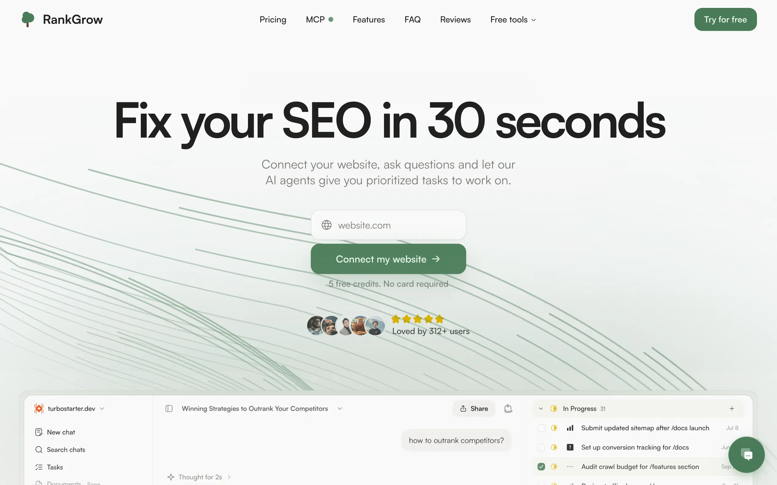
RankGrow
Fix your SEO with AI agents - connect Search Console, get prioritized tasks, and grow organic traffic 📈
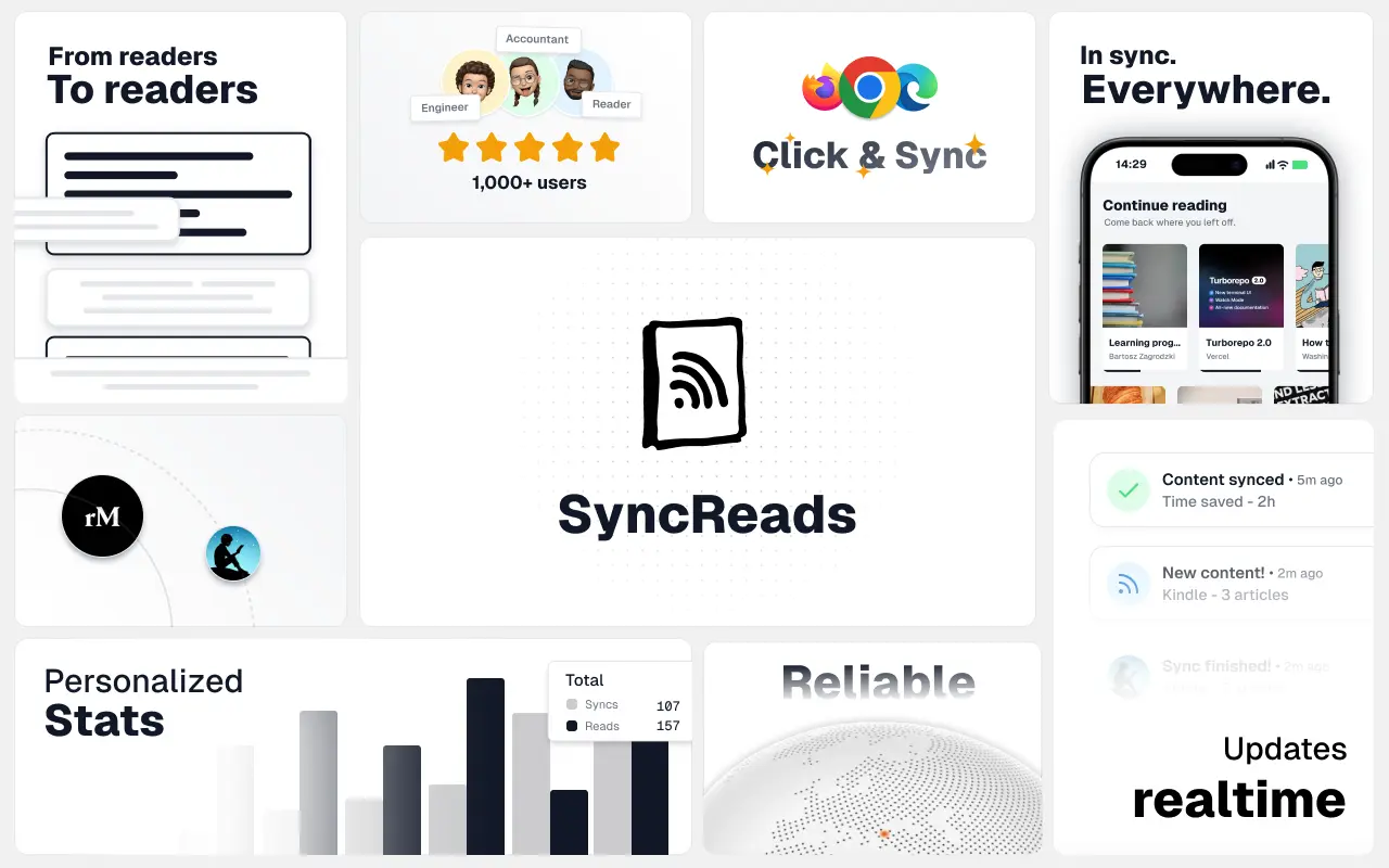
SyncReads
Sync your favorite content for distraction-free reading, save time and replace multiple apps. Anytime, anywhere 🔄
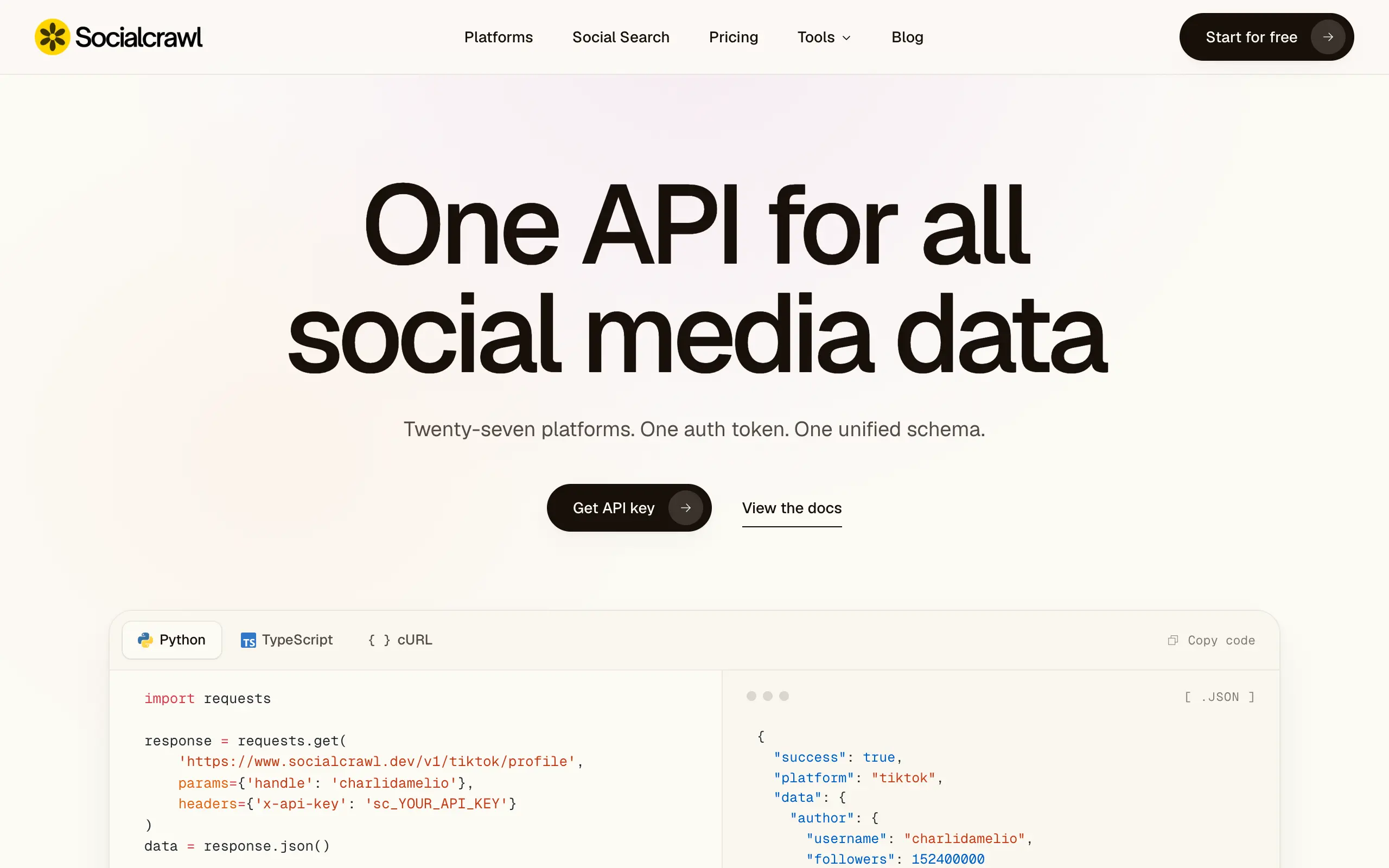
Socialcrawl
Get clean, structured data from 21 platforms like TikTok, Instagram, and YouTube with a single request 📊
Statiko
Monitor any Telegram channel in real time - track posts, edits, deletions, and growth with AI recaps 📡
Shibui
AI website builder - describe your business, pick a niche template, edit by chatting, and publish instantly ✨
Pro Service
Find verified home service professionals, compare quotes, and pay securely through escrow - built for Brazilians across the US 🏠
RankGrow
Fix your SEO with AI agents - connect Search Console, get prioritized tasks, and grow organic traffic 📈
SyncReads
Sync your favorite content for distraction-free reading, save time and replace multiple apps. Anytime, anywhere 🔄
Socialcrawl
Get clean, structured data from 21 platforms like TikTok, Instagram, and YouTube with a single request 📊
Statiko
Monitor any Telegram channel in real time - track posts, edits, deletions, and growth with AI recaps 📡
Shibui
AI website builder - describe your business, pick a niche template, edit by chatting, and publish instantly ✨
Pro Service
Find verified home service professionals, compare quotes, and pay securely through escrow - built for Brazilians across the US 🏠
RankGrow
Fix your SEO with AI agents - connect Search Console, get prioritized tasks, and grow organic traffic 📈
SyncReads
Sync your favorite content for distraction-free reading, save time and replace multiple apps. Anytime, anywhere 🔄
Socialcrawl
Get clean, structured data from 21 platforms like TikTok, Instagram, and YouTube with a single request 📊
Statiko
Monitor any Telegram channel in real time - track posts, edits, deletions, and growth with AI recaps 📡
Shibui
AI website builder - describe your business, pick a niche template, edit by chatting, and publish instantly ✨
Pro Service
Find verified home service professionals, compare quotes, and pay securely through escrow - built for Brazilians across the US 🏠
RankGrow
Fix your SEO with AI agents - connect Search Console, get prioritized tasks, and grow organic traffic 📈
SyncReads
Sync your favorite content for distraction-free reading, save time and replace multiple apps. Anytime, anywhere 🔄
Socialcrawl
Get clean, structured data from 21 platforms like TikTok, Instagram, and YouTube with a single request 📊

Dotallio
Personalized AI apps that automate research, data extraction, and content creation without code 🤖

Talk to Santa
Enjoy a magical live video chat or receive a unique AI-generated video greeting from Santa Claus 🎅

pozywka.pl
Scalable blog for food journalist, focused on performance and user experience 🌭
zagrodzki.me
Personal blog and portfolio of Bart Zagrodzki, where he shares his knowledge and work 💼

TurboStarter
Ship your startup everywhere. In minutes.
HTML to Markdown
Convert HTML to Markdown with ease, directly in your browser 📄
Dotallio
Personalized AI apps that automate research, data extraction, and content creation without code 🤖
Talk to Santa
Enjoy a magical live video chat or receive a unique AI-generated video greeting from Santa Claus 🎅
pozywka.pl
Scalable blog for food journalist, focused on performance and user experience 🌭
zagrodzki.me
Personal blog and portfolio of Bart Zagrodzki, where he shares his knowledge and work 💼
TurboStarter
Ship your startup everywhere. In minutes.
HTML to Markdown
Convert HTML to Markdown with ease, directly in your browser 📄
Dotallio
Personalized AI apps that automate research, data extraction, and content creation without code 🤖
Talk to Santa
Enjoy a magical live video chat or receive a unique AI-generated video greeting from Santa Claus 🎅
pozywka.pl
Scalable blog for food journalist, focused on performance and user experience 🌭
zagrodzki.me
Personal blog and portfolio of Bart Zagrodzki, where he shares his knowledge and work 💼
TurboStarter
Ship your startup everywhere. In minutes.
HTML to Markdown
Convert HTML to Markdown with ease, directly in your browser 📄
Dotallio
Personalized AI apps that automate research, data extraction, and content creation without code 🤖
Talk to Santa
Enjoy a magical live video chat or receive a unique AI-generated video greeting from Santa Claus 🎅
pozywka.pl
Scalable blog for food journalist, focused on performance and user experience 🌭
zagrodzki.me
Personal blog and portfolio of Bart Zagrodzki, where he shares his knowledge and work 💼
TurboStarter
Ship your startup everywhere. In minutes.
HTML to Markdown
Convert HTML to Markdown with ease, directly in your browser 📄
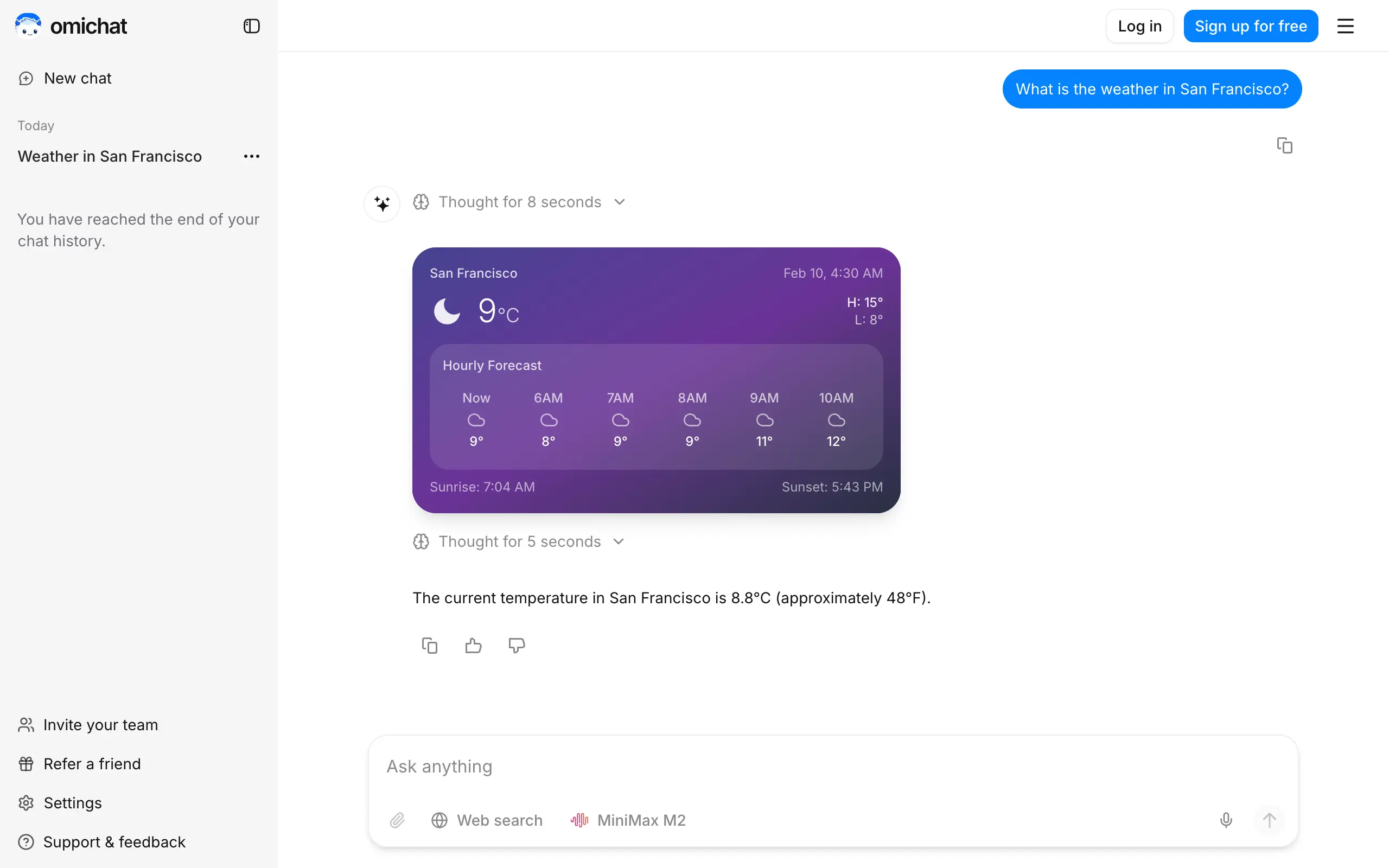
Omichat
Chat with 50+ AI models, including ChatGPT and Claude, in one place - switch models anytime without losing context 🤖
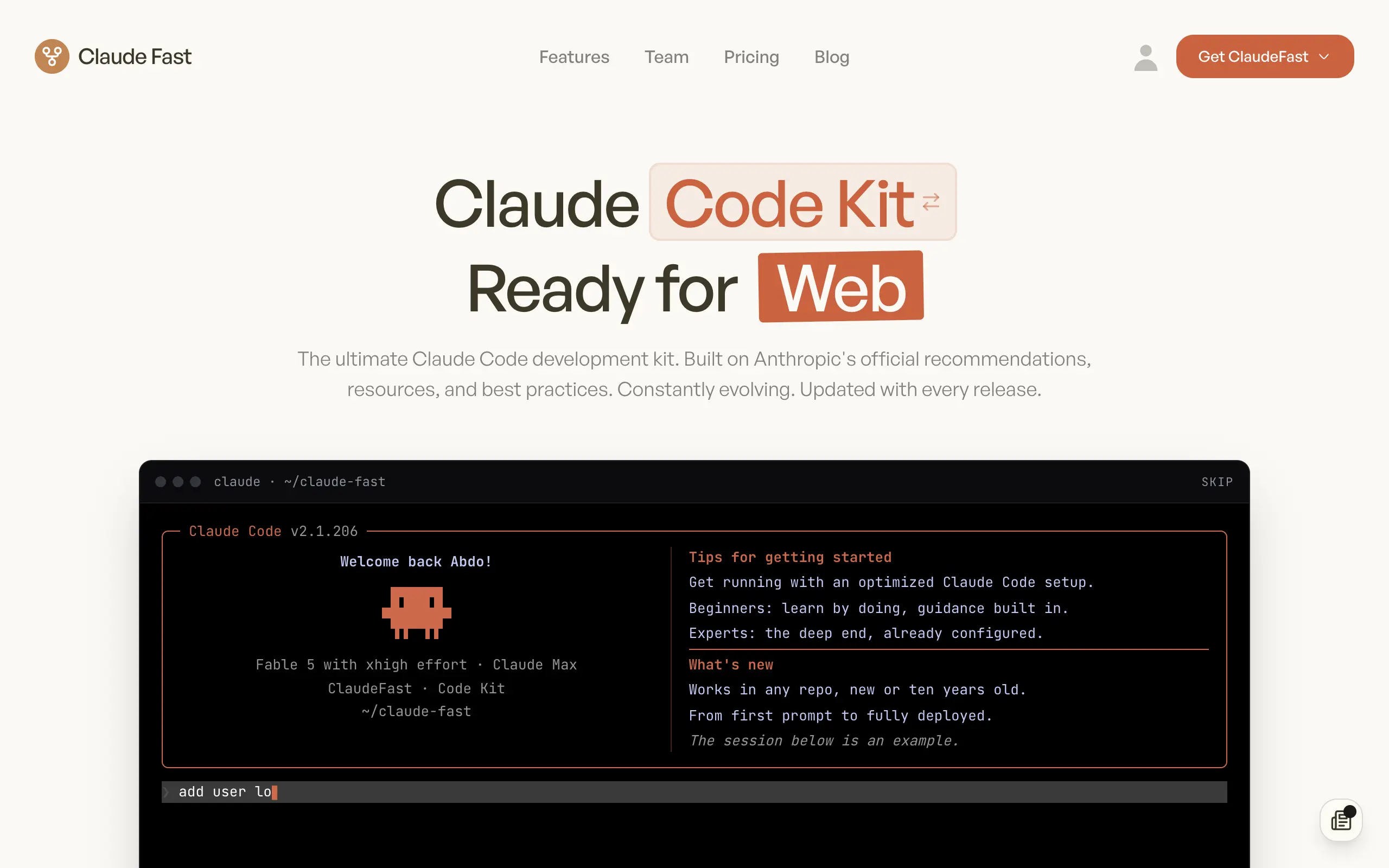
Claude Fast
Supercharge your Claude Code with 6x effective context window and specialized AI agents 🤖

EmojAI
AI-powered emoji picker with smart, context-aware suggestions 🤖

Solohacker
Autonomous company launcher - AI agents work 24/7, escalate what matters, and you stay in control 🤖

BeRawi: Storytelling Coach
Practice storytelling daily with instant feedback to sound clearer, more engaging, and confident 🎤
Omichat
Chat with 50+ AI models, including ChatGPT and Claude, in one place - switch models anytime without losing context 🤖
Claude Fast
Supercharge your Claude Code with 6x effective context window and specialized AI agents 🤖
EmojAI
AI-powered emoji picker with smart, context-aware suggestions 🤖
Solohacker
Autonomous company launcher - AI agents work 24/7, escalate what matters, and you stay in control 🤖
BeRawi: Storytelling Coach
Practice storytelling daily with instant feedback to sound clearer, more engaging, and confident 🎤
Omichat
Chat with 50+ AI models, including ChatGPT and Claude, in one place - switch models anytime without losing context 🤖
Claude Fast
Supercharge your Claude Code with 6x effective context window and specialized AI agents 🤖
EmojAI
AI-powered emoji picker with smart, context-aware suggestions 🤖
Solohacker
Autonomous company launcher - AI agents work 24/7, escalate what matters, and you stay in control 🤖
BeRawi: Storytelling Coach
Practice storytelling daily with instant feedback to sound clearer, more engaging, and confident 🎤
Omichat
Chat with 50+ AI models, including ChatGPT and Claude, in one place - switch models anytime without losing context 🤖
Claude Fast
Supercharge your Claude Code with 6x effective context window and specialized AI agents 🤖
EmojAI
AI-powered emoji picker with smart, context-aware suggestions 🤖
Solohacker
Autonomous company launcher - AI agents work 24/7, escalate what matters, and you stay in control 🤖
BeRawi: Storytelling Coach
Practice storytelling daily with instant feedback to sound clearer, more engaging, and confident 🎤

Connect with like-minded people
Join our community to get feedback, support, and grow together with 1,000+ builders on board, let's ship it!
Join usShip your startup everywhere. In minutes.
Don't burn tokens on setup and start building features on day one.