TrailSignal
AI forecasts crowd levels, shade, wind, and parking for nearby hikes. Outdoor lovers get a smarter go/no-go plan before leaving home.
Why an AI hiking forecast app solves a real outdoor planning problem
Planning a hike is deceptively difficult. A standard weather app can report temperature, rain probability, and wind speed for a town or mountain range, but it rarely answers the questions that determine whether a trip will feel rewarding or frustrating.
Outdoor lovers need practical, trail-specific answers:
- Will the trailhead parking lot already be full by 9 a.m.?
- Which part of the route will be exposed to direct sun?
- Will wind make a ridgeline unpleasant or unsafe?
- Is this a quiet weekday hike or a crowded social-media hotspot?
- Should a family choose a shaded loop instead of an exposed summit trail?
- Is it worth leaving now, or is tomorrow clearly better?
TrailSignal is an AI hiking forecast app designed to turn fragmented outdoor information into a clear go or no-go decision. It forecasts crowd levels, parking availability, shade, wind exposure, and weather conditions for nearby hikes before users leave home.
The opportunity is not simply to build another hiking app. The opportunity is to become the decision layer between discovering a trail and committing time, fuel, food, equipment, and personal safety to the trip.
Core product thesis
TrailSignal should not compete primarily on trail maps or user-generated route catalogs. Its strongest position is as the predictive planning companion that tells hikers when to go, where to park, and which trail experience best fits their preferences today.
The target audience for TrailSignal
TrailSignal serves a broad outdoor recreation market, but its first product should focus on users with a recurring planning problem and a high willingness to adopt smarter recommendations.
Weekend hikers and urban outdoor enthusiasts
The primary audience is people who live near cities, suburbs, and popular outdoor corridors. They often have limited free time and face a frustrating pattern: they research a hike, drive an hour or more, and discover full parking, crowded trails, extreme heat, smoke, mud, or unsafe wind.
These users typically:
- Hike one to six times per month
- Plan around work, family, fitness, or travel schedules
- Search for hikes within a two-hour drive
- Use Google Maps, weather apps, trail platforms, and local park pages separately
- Value confidence and convenience more than exhaustive route data
- Are likely to share useful trail recommendations with friends
For this segment, TrailSignal’s most valuable output is a concise recommendation such as: Go before 7:30 a.m. for easy parking and cooler conditions, or choose the shaded Canyon Loop after 3 p.m.
Parents, dog owners, and casual hikers
Families and pet owners need a different type of trail intelligence. They may not care about summiting a peak, but they care deeply about heat exposure, restroom access, parking certainty, route length, shade, and whether a crowded trail will feel manageable.
TrailSignal can earn trust by translating complex environmental data into practical guidance:
- “Best for strollers before noon”
- “Low shade and high heat risk for dogs”
- “Parking typically fills by 10 a.m.”
- “Wind-exposed route, choose the forest loop instead”
- “Crowd forecast is low after 4 p.m.”
This audience is especially valuable because it has clear pain points and benefits from plain-language recommendations rather than technical outdoor jargon.
Serious hikers, runners, and fastpackers
Experienced hikers and trail runners are more likely to already use mapping products, weather models, and route-recording tools. They may not switch platforms for basic trail discovery. However, they will adopt TrailSignal if it provides genuinely differentiated forecasts.
Their needs include:
- Trailhead parking confidence before early starts
- Hourly wind forecasts for exposed terrain
- Heat and sun exposure by route segment
- Crowd avoidance for training runs
- Seasonal trail-condition alerts
- Better departure-time recommendations
For this audience, TrailSignal should provide transparent forecast detail, confidence scores, data freshness, and clear explanations of why a recommendation changed.
Tourism boards, park-adjacent businesses, and outdoor partners
Although TrailSignal is a B2C SaaS product, a later business-facing opportunity exists. Local tourism agencies, outdoor retailers, shuttle services, and lodging providers benefit when visitors spread across less-congested trails and make safer itinerary choices.
This should not be the first monetization focus. Still, it creates a potential distribution channel through co-branded destination guides, regional trail recommendations, and responsible recreation campaigns.
The market gap in hiking conditions and trail crowd forecasting
Outdoor apps are abundant, but the hiking planning workflow remains fragmented. One app helps users find trails. Another provides maps. Another provides weather. A navigation app estimates driving time. A local park website might publish a parking update, but only inconsistently.
The missing layer is predictive trail readiness.
TrailSignal can fill the gap by combining multiple signals into one decision-oriented forecast. Instead of showing a generic weather card, it can answer: “Will this specific hike be comfortable, accessible, and worth the drive at the time I can go?”
Existing tools often describe the present, not the likely experience
Most outdoor information products fall into several categories:
- Route discovery platforms that help users find hikes
- Navigation platforms that help users travel to trailheads
- Weather platforms that provide regional forecasts
- Fitness trackers that record completed activities
- Park websites that publish static advisories
- Social platforms that show recent trail photos and anecdotes
Each category is useful. None consistently predicts a trail’s full near-term experience.
A generic weather forecast cannot account for a trail’s aspect, tree cover, elevation gain, ridge exposure, parking capacity, or local popularity curve. A map can show where a hike is, but not whether the user should start at 6:45 a.m., wait until 4 p.m., or choose a nearby alternative.
The crowding problem is growing in popular outdoor regions
Crowding is more than an inconvenience. It contributes to unsafe roadside parking, visitor conflict, trail erosion, overuse of facilities, and poor visitor experiences. TrailSignal can help distribute demand by recommending alternatives before users arrive.
For market validation, founders should reference authoritative public datasets rather than rely on broad claims. Useful sources to evaluate include:
- National and regional park visitation reports
- State park reservation and parking reports
- Municipal open-space visitor data
- Trailhead counter programs
- Transportation department traffic datasets
- Public land management studies on recreation demand
A credible content strategy can cite these sources in a format such as “According to the latest annual visitor-use report from the relevant park agency” and update the statistic when the product expands into a specific region.
The opportunity is an intelligence product, not a static directory
The TrailSignal moat is created by improving the forecast through local data, user feedback, and behavioral patterns over time. A static trail directory is relatively easy to replicate. A high-quality forecast system that learns the crowd, parking, shade, wind, and route-specific comfort patterns of thousands of trails is much harder to duplicate.
User value
Users make a better hiking decision in seconds instead of opening several apps and comparing incomplete information.
Operational value
TrailSignal can help visitors shift to lower-impact times and nearby alternatives before congestion occurs.
Data value
Every confirmed arrival, parking report, and conditions check can improve localized forecasting accuracy.
TrailSignal’s unique selling proposition
TrailSignal’s unique selling proposition is simple:
It is the AI hiking forecast app that predicts the real trail experience before the drive begins.
Rather than merely listing hikes, TrailSignal provides a personalized go or no-go plan based on dynamic environmental and behavioral signals.
A strong product promise could be:
Know the best trail, best departure time, and likely conditions before you leave home.
That promise is distinctive because it combines several factors users usually research independently:
- Crowd intensity
- Parking likelihood
- Shade availability
- Wind exposure
- Temperature and precipitation
- Air quality and smoke risk where relevant
- Trail-specific timing recommendations
- Comparable nearby alternatives
The product should avoid overstating certainty. Forecasts are probabilistic, especially in mountain environments and remote trail systems. The trusted version of TrailSignal explains confidence, identifies assumptions, and distinguishes between observed conditions and model predictions.
Core features for an AI hiking forecast app
The first version should focus relentlessly on delivering a reliable answer to the planning question. Feature breadth matters less than recommendation quality.
Trail readiness score
The central experience should be a simple, visible readiness score for each trail and time window. For example, a user may see:
- Excellent for a quiet, shaded 7 a.m. start with ample parking
- Good for moderate crowds and manageable wind
- Caution for hot exposure, uncertain parking, or building storms
- Avoid for severe weather, closures, dangerous air quality, or unavailable access
A score must never become a black box. Users should be able to tap into the components that created it.
| Signal | User question | Possible data source | Product output | Planning value |
|---|---|---|---|---|
| Crowd forecast | How busy will it feel? | Historic patterns and recent reports | Low, medium, or high | Avoid congestion |
| Parking forecast | Can I park near the trailhead? | Capacity, arrival patterns, and traffic | Likely available or likely full | Reduce wasted trips |
| Shade profile | Will the route be exposed? | Terrain, canopy, aspect, and solar position | Hourly exposure estimate | Plan for heat |
| Wind exposure | Will conditions feel harsher on route? | Forecast models and terrain data | Route-specific wind guidance | Improve comfort and safety |
Personalized trail recommendations
The recommendation engine should consider user preferences, not just objective conditions. A sunny trail can be ideal for a winter visitor and miserable for someone hiking with a dog during a heatwave.
Onboarding can ask users to select preferences such as:
- Preferred hike length and elevation range
- Desired difficulty level
- Maximum driving distance
- Crowd tolerance
- Shade preference
- Dog-friendly requirements
- Child-friendly requirements
- Scenic priorities
- Accessibility needs
- Preference for sunrise, daytime, or sunset starts
The output should feel like a helpful local guide, not a generic ranking algorithm.
Hour-by-hour departure planner
A powerful feature is an hourly forecast timeline that turns data into a schedule. Instead of telling a user that wind will increase later, TrailSignal should recommend a departure window.
For example:
Start between 6:30 and 7:30 a.m. for cooler temperatures, low parking pressure, and 70% shade on the lower loop. Winds are expected to strengthen above the ridgeline after 11 a.m.
This is more actionable than separate weather, parking, and trail cards.
Parking probability and arrival guidance
Parking is one of the most painful user problems because it can invalidate a plan immediately. TrailSignal should show a parking probability instead of presenting false precision.
Useful labels include:
- “Very likely available”
- “Usually fills by 8:30 a.m.”
- “Limited roadside overflow”
- “Consider shuttle or alternate trailhead”
- “High uncertainty due to event traffic”
- “Reported full 45 minutes ago”
Where possible, distinguish between official parking, overflow lots, roadside restrictions, permit-only access, and shuttle systems. This prevents users from assuming that “parking available” means unrestricted access.
Shade and heat exposure maps
Shade forecasting is technically challenging, but it is highly differentiated. The model can estimate shade using terrain orientation, elevation, time of day, solar angle, tree canopy data where available, and route geometry.
The user interface does not need to pretend that every meter is exact. It can show practical route segments:
- “Mostly exposed from mile 1.2 to mile 3.5”
- “Forest cover on the north loop until late morning”
- “Minimal shade after 1 p.m.”
- “Best summer start window is before 8 a.m.”
This feature is particularly useful for heat-sensitive hikers, families, dog owners, and travelers unfamiliar with local terrain.
Wind-aware terrain guidance
Standard wind forecasts frequently underrepresent the lived experience of exposed ridgelines, saddles, summits, and canyon mouths. TrailSignal should use route-aware language:
- “Moderate valley winds, strong gust risk above treeline”
- “Sheltered forest route recommended”
- “Wind chill likely at the summit”
- “Avoid the exposed eastern ridge during afternoon gusts”
The app should clearly state that it is not a substitute for professional mountain weather judgment, emergency alerts, or local land-manager instructions.
Smart alternatives when a plan is weak
A forecast is most valuable when it offers a better option. If the selected trail has full parking, intense heat, or crowding, TrailSignal should recommend alternatives that meet the same goal.
For a crowded waterfall hike, alternatives might be:
- A nearby shaded creek trail
- A later departure window
- A less popular trail with similar difficulty
- A trailhead with a larger lot
- A lower-elevation route during high-wind conditions
This transforms TrailSignal from a warning tool into a practical planning assistant.
How the forecasting engine can work
TrailSignal does not need a perfect artificial intelligence system at launch. It needs a clear, reliable data pipeline, a transparent initial scoring model, and a feedback loop that improves predictions in focused geographic markets.
Build from deterministic rules before advanced machine learning
Early-stage teams often make the mistake of starting with a complex machine-learning model before they have enough clean local data. A better approach is a hybrid system:
- Collect reliable public and licensed data.
- Build interpretable rules for forecast components.
- Record predictions and observed outcomes.
- Add user feedback loops.
- Train localized models when there is sufficient historical data.
For example, an initial parking forecast can use parking capacity, day of week, seasonality, holidays, route popularity, sunrise timing, weather quality, and recent reports. As confirmed observations accumulate, the system can learn the actual arrival curve for each trailhead.
Inputs for crowd and parking forecasting
Potential data inputs include:
- Historical trail popularity patterns
- Day of week and public holidays
- School vacation periods
- Local event calendars where permitted
- Weather quality and temperature
- Sunrise and sunset timing
- Seasonal accessibility
- Reservation status
- Trailhead capacity
- Road closures and construction notices
- User-submitted parking reports
- Aggregated mobility or traffic data where legally available
- Official camera feeds only where licensing and privacy terms allow
Data governance matters. TrailSignal should not use personally identifiable location data without explicit consent and a clear privacy framework.
Inputs for shade and wind forecasting
Shade models can combine geospatial and meteorological information:
- Digital elevation models
- Trail route geometry
- Slope and aspect
- Solar position calculations
- Land-cover and canopy datasets
- Hourly cloud cover forecasts
- Seasonal foliage assumptions
- Elevation profiles
Wind models should incorporate:
- Hourly weather forecast grids
- Gust forecasts
- Trail elevation
- Exposure classification
- Ridge and saddle proximity
- Directional terrain effects
- Local weather-station calibration where available
The result should be presented as a confidence-weighted estimate, not as a promise of exact conditions.
Explainable AI is essential for trust
A user should always understand why TrailSignal recommends a route. A useful explanation might say:
Recommended because the trail is likely to have low parking pressure before 8 a.m., 12°F cooler conditions than the exposed summit option, and lighter forecast winds below 15 mph.
The app can use generative AI to summarize data, but the underlying recommendation must be traceable to structured evidence. Generative text should never invent closures, hazards, permits, or conditions.
Safety and trust requirement
Do not position TrailSignal as a wilderness safety authority. Always direct users to official land-manager alerts, permit requirements, emergency weather warnings, and local closure notices. The product should support judgment, not replace it.
Recommended tech stack for TrailSignal
TrailSignal needs a modern SaaS architecture that supports fast mobile-friendly experiences, geospatial processing, scheduled forecast jobs, user accounts, notifications, and an evolving recommendation engine.
Web application and user experience layer
A strong initial stack could include:
- React for component-based interfaces
- Next.js for server-rendered pages, API routes, and SEO-friendly public trail pages
- TypeScript for safer application development
- Tailwind CSS for fast, consistent UI development
- Mapbox for maps, geocoding, and route visualization
Next.js is particularly useful because TrailSignal benefits from both an app-like logged-in experience and indexable content pages for trail forecasts, regional hiking guides, and seasonal planning content.
The trade-off is that geospatial interaction can become complex in a server-rendered application. Keep map-heavy interfaces modular and avoid loading expensive layers before users need them.
Backend, database, and geospatial capabilities
A practical backend can use:
- PostgreSQL as the primary relational database
- PostGIS for spatial queries and geographic data
- Supabase for authentication, database workflows, storage, and rapid prototyping
- Prisma for type-safe database access where it fits the team workflow
- Redis for caching frequently requested forecasts and rate-limiting APIs
PostGIS is a major advantage because TrailSignal needs spatial operations such as finding hikes within driving distance, determining proximity to ridgelines, associating trail segments with elevation data, and querying nearby alternatives.
The primary trade-off is operational complexity. A managed platform can accelerate the MVP, while a self-managed geospatial infrastructure may become appropriate only after traffic and processing needs are proven.
Forecasting, jobs, and AI services
Trail forecasts are time-sensitive. The system needs scheduled jobs that refresh data, calculate readiness scores, and trigger useful notifications.
Consider:
- A queue system for scheduled forecast refreshes
- Server-side cron jobs for periodic trail scoring
- Data quality checks before publishing updated predictions
- Feature stores or analytics tables for model training
- A Python service for geospatial computation and forecasting experiments
- An LLM layer only for user-friendly summaries and conversational planning
Python remains a sensible choice for geospatial data processing, statistical modeling, and machine-learning workflows. However, do not split into microservices too early. A TypeScript-first application with one isolated Python forecasting service is often easier to operate than a fragmented system.
Payments, analytics, and notifications
For commercial readiness, TrailSignal can use:
- Stripe for subscriptions and billing
- Resend for transactional email
- Sentry for error monitoring
- Vercel for fast deployment of the Next.js application
Product analytics should measure whether recommendations improve outcomes, not merely whether users open the app. The most important signals include saved hikes, forecast views, navigation starts, reported parking outcomes, successful recommendation follow-through, and retention after a poor weather day.
Monetization options for TrailSignal
TrailSignal should use a freemium model because casual hikers need to experience forecast usefulness before paying. The free tier should be valuable enough to build habit while keeping advanced intelligence behind a subscription.
Freemium consumer subscription
A free plan can include:
- Nearby trail discovery
- Basic daily readiness scores
- Limited trail forecast views
- Standard weather and daylight summaries
- A small number of saved trails
A premium plan can include:
- Hour-by-hour crowd and parking forecasts
- Advanced shade and wind insights
- Personalized departure recommendations
- Unlimited saved trails and alerts
- Alternative route suggestions
- Heat, wind, smoke, and parking notifications
- Weekend planning summaries
- Offline saved forecast snapshots
A plausible consumer price range is approximately $4 to $10 per month, depending on regional coverage, data quality, and premium depth. Pricing should be tested with real users rather than assumed.
Seasonal and annual plans
Outdoor usage can be seasonal. An annual plan should offer a meaningful discount and position TrailSignal as a year-round planning companion for hiking, trail running, dog walks, leaf-peeping, snow-free shoulder-season outings, and travel.
A seasonal pass may also work for users planning a national park trip or visiting a region for a limited period.
Affiliate and partner revenue
TrailSignal could earn revenue from relevant services without degrading trust:
- Park shuttle reservations
- Guided hikes
- Gear rental
- Outdoor insurance partners
- Local lodging
- Transportation services
- Permit and reservation workflow referrals
Affiliate recommendations must be clearly labeled. A recommendation engine should never rank a trail higher because it generates more partner revenue. That would undermine the product’s core trust advantage.
B2B and destination intelligence
Later, TrailSignal can offer a business product for tourism organizations and land-management-adjacent partners. Potential features include aggregate demand forecasts, visitor dispersion recommendations, trailhead parking dashboards, and co-branded planning pages.
This model has longer sales cycles and procurement complexity, so it should follow, not precede, consumer product validation.
Competitive advantage and defensibility
TrailSignal will operate near established trail discovery, mapping, and weather products. It should not try to beat every competitor on every feature. Instead, it needs a focused wedge.
TrailSignal versus trail discovery platforms
Trail discovery products are strong at route libraries, reviews, photos, and navigation. TrailSignal should complement that behavior by owning the question users ask after choosing a trail:
Is this hike the right choice at the time I can actually go?
The competitive advantage is not a larger trail database. It is better predictive decision support.
TrailSignal versus weather apps
Weather apps are general-purpose products. They usually lack route-level shade modeling, trailhead parking estimates, crowd forecasting, terrain-aware wind interpretation, and nearby alternative recommendations.
TrailSignal’s edge comes from contextualizing weather within the actual hiking experience.
TrailSignal versus generic AI assistants
A generic AI assistant can provide hiking suggestions, but it may not have timely trail-specific data, verified closure information, localized parking patterns, or an accountable forecast system. TrailSignal can use AI conversationally while grounding every recommendation in a purpose-built geospatial and forecast engine.
The long-term data moat
Defensibility grows when TrailSignal builds proprietary datasets that competitors cannot quickly recreate:
- Trailhead-specific parking arrival curves
- Local crowd patterns by season and weather condition
- User-confirmed condition reports
- Route exposure classifications
- Shade performance models
- Forecast accuracy histories
- Preference profiles that improve personalization
The company should begin with a small number of high-demand regions. Accurate forecasting for 200 trailheads is more valuable than weak forecasting for 20,000.
Key risks and how to mitigate them
Forecast inaccuracy
Bad predictions can rapidly destroy trust, especially when users drive long distances. Mitigate this through confidence scores, conservative wording, data freshness indicators, user reporting, and continuous accuracy measurement.
Avoid claims like “parking guaranteed.” Prefer “parking is likely available based on current conditions and historical patterns.”
Safety liability
Outdoor conditions can change quickly. Mitigate legal and ethical risk with clear safety messaging, official alert links where available, warnings for severe conditions, and product language that encourages preparation.
Do not provide emergency advice beyond directing users to appropriate local emergency services and official authorities.
Data licensing and API dependency
Many useful datasets come with licensing restrictions, rate limits, or changing terms. Maintain a source inventory, document usage rights, cache appropriately, and avoid building a core feature around an unstable data source.
Where possible, combine public data, user-generated reports, and licensed providers so the product is not dependent on one vendor.
Cold-start problem
New regions lack historical parking and crowd data. Solve this by launching in dense outdoor markets, using clear “early forecast” confidence labels, partnering with local communities, and incentivizing quick post-hike reports.
User-generated data quality
Crowdsourced reports can be inaccurate, stale, or manipulated. Add timestamps, reputation weighting, anomaly detection, photo verification options, and aggregation thresholds before changing high-impact recommendations.
Avoid building turn-by-turn navigation, a massive social feed, gear marketplaces, advanced route recording, and international coverage in the MVP. These features add complexity without proving the core forecasting value.
Saved-trail alerts are likely the strongest loop. Users save favorite hikes and receive a concise notification when TrailSignal identifies an unusually good window for low crowds, easy parking, comfortable temperatures, or favorable wind.
Start in regions with high hiking demand, limited trailhead parking, predictable weather patterns, public trail data, and numerous substitute trails. A concentrated launch makes forecasts more accurate and local partnerships more feasible.
A practical MVP roadmap for TrailSignal
The MVP should prove one behavior: users trust TrailSignal enough to change when or where they hike.
Phase one: validate the demand manually
Before building a broad platform, create a focused prototype for one metro area and its most popular hiking destinations.
Interview at least 30 to 50 target users and ask about recent failed hiking plans. Look for recurring stories about full parking, crowds, heat, wind, closures, and uncertainty. A simple landing page, waitlist, and concierge-style forecast newsletter can validate demand before extensive engineering.
Phase two: launch the focused forecast experience
The first functional version should include:
- Location-based nearby trail list
- A curated set of popular trails
- Current conditions and basic forecast data
- Crowd and parking prediction bands
- Departure-time recommendations
- Saved trails
- User parking and condition check-ins
- Clear official-alert links
Do not wait for perfect shade modeling. Launch with transparent coverage labels and add advanced exposure intelligence after validating the core use case.
Phase three: measure forecast quality and behavior change
Track forecast accuracy against user reports and observed public signals. The team should review errors by trail, time window, weather type, and season.
Important questions include:
- Did users follow the recommended departure window?
- Did parking reports match the forecast?
- Did users choose suggested alternatives?
- Which signals most influence premium conversion?
- Where is forecast confidence consistently low?
- Which trails drive repeat use?
Phase four: expand features and regions carefully
Once the product is trusted in one region, add shade segmentation, wind exposure classifications, proactive alerts, and more personalized ranking. Expansion should happen region by region, with localized calibration and clear feature availability.
A production-ready SaaS foundation can significantly shorten the path from validation to launch. TurboStarter provides a practical starting point for teams that want to spend more time on TrailSignal’s differentiated forecasting engine and less time rebuilding standard SaaS infrastructure.
Final takeaway
TrailSignal has a compelling B2C SaaS opportunity because it addresses a frequent, emotionally meaningful problem: outdoor users want confidence that a hike will be worth the effort.
The winning product will not be the one with the most trails or the most dashboards. It will be the one that gives hikers a trusted, explainable recommendation at the exact moment they are deciding whether to pack the car, leave early, wait, or choose another route.
By combining crowd forecasting, parking probability, shade estimation, terrain-aware wind guidance, and personalized alternatives, TrailSignal can establish a distinct category: predictive outdoor planning.
Start narrow, treat safety and data quality as product features, communicate uncertainty honestly, and build a feedback loop that makes every forecast more useful than the last.
More 👥 B2C Application SaaS ideas
Discover more innovative b2c application SaaS ideas that are trending in 2026. Each idea is AI-generated with market validation and growth potential to help you find your next profitable venture faster than competitors.
Your competitors are building with TurboStarter
Below are some of the SaaS ideas that have been generated and built with our starter kit.

Statiko
Monitor any Telegram channel in real time - track posts, edits, deletions, and growth with AI recaps 📡

Shibui
AI website builder - describe your business, pick a niche template, edit by chatting, and publish instantly ✨

Pro Service
Find verified home service professionals, compare quotes, and pay securely through escrow - built for Brazilians across the US 🏠
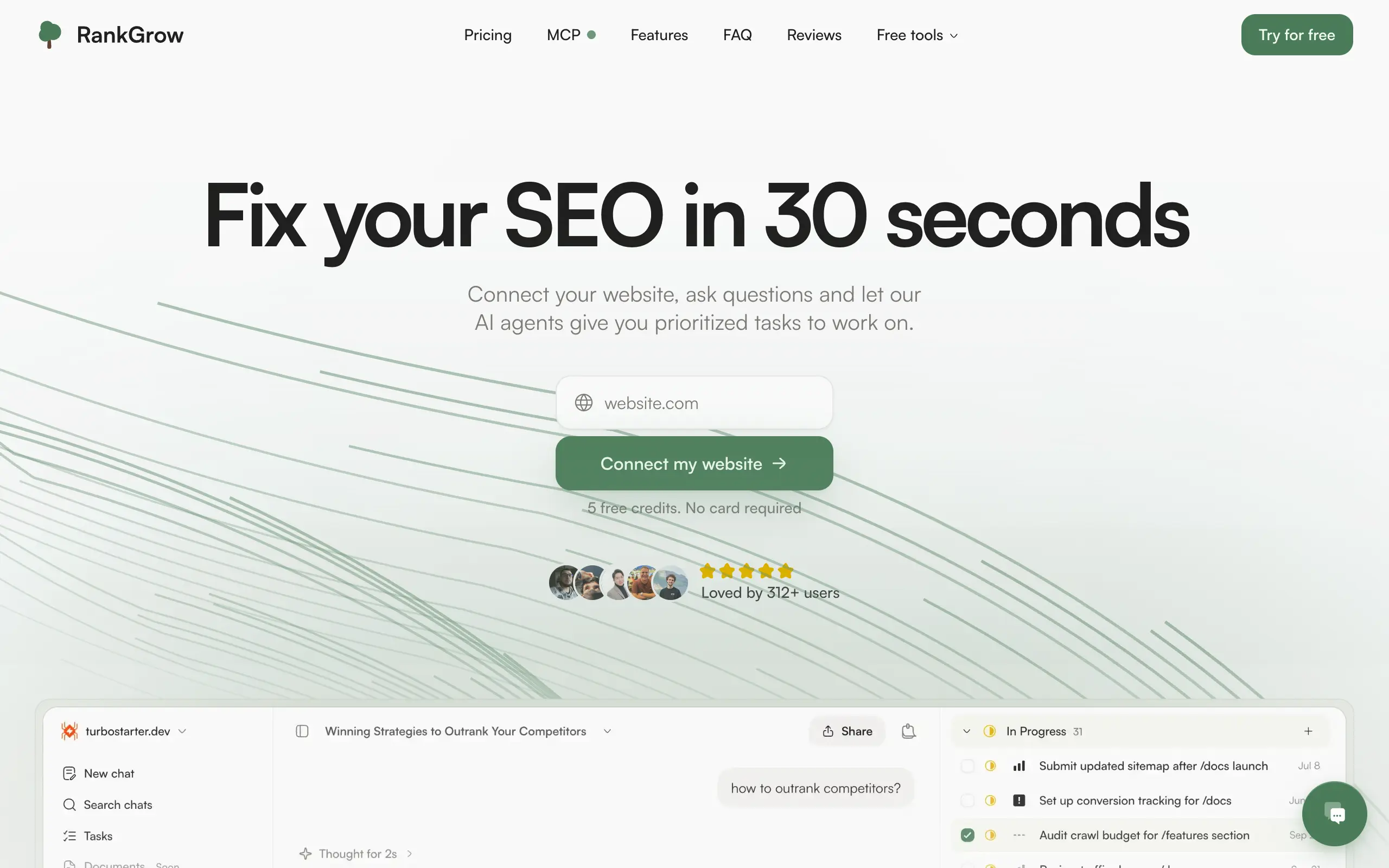
RankGrow
Fix your SEO with AI agents - connect Search Console, get prioritized tasks, and grow organic traffic 📈
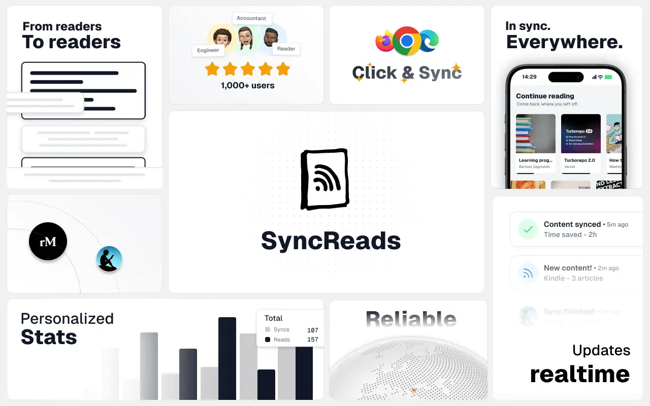
SyncReads
Sync your favorite content for distraction-free reading, save time and replace multiple apps. Anytime, anywhere 🔄
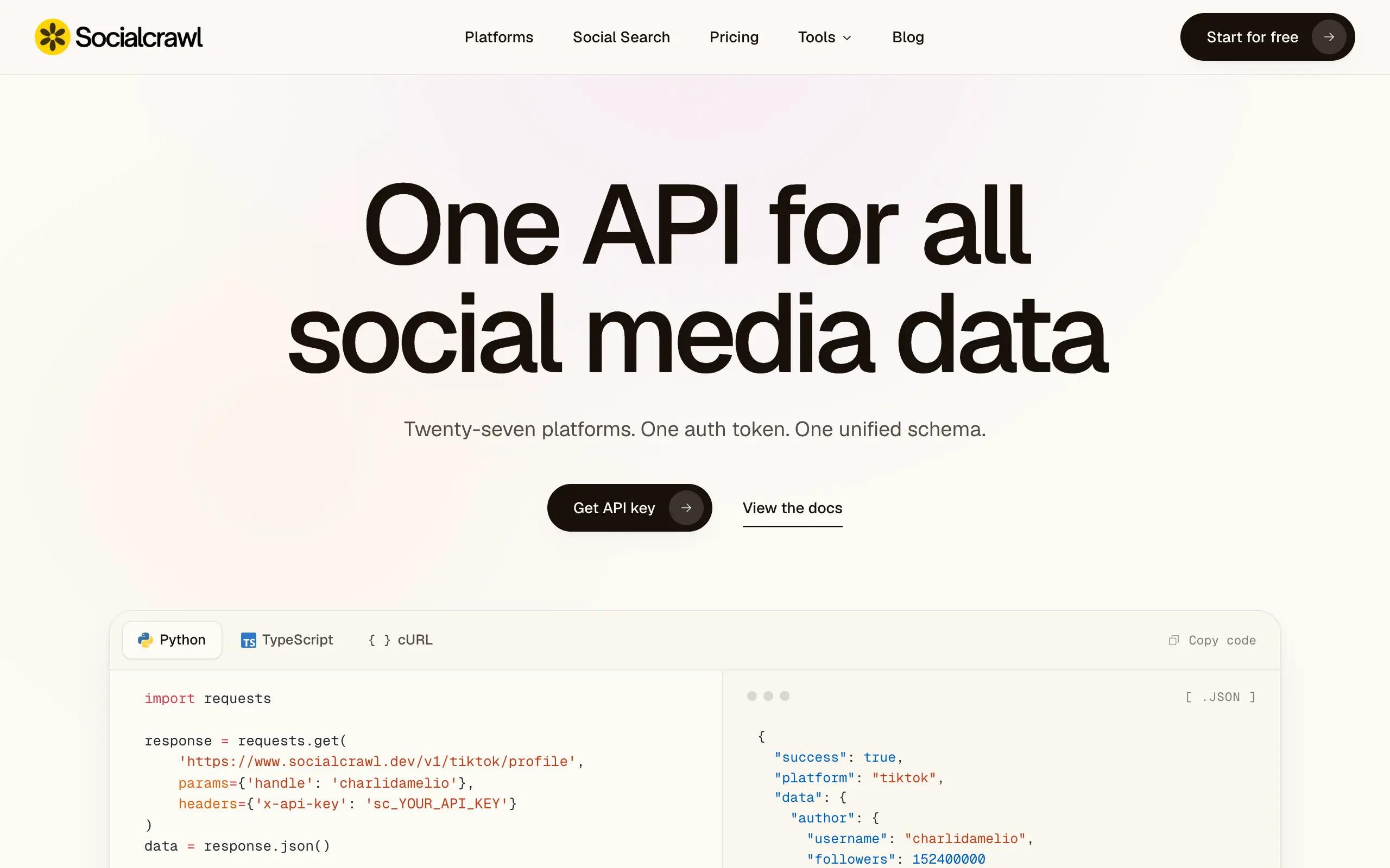
Socialcrawl
Get clean, structured data from 21 platforms like TikTok, Instagram, and YouTube with a single request 📊
Statiko
Monitor any Telegram channel in real time - track posts, edits, deletions, and growth with AI recaps 📡
Shibui
AI website builder - describe your business, pick a niche template, edit by chatting, and publish instantly ✨
Pro Service
Find verified home service professionals, compare quotes, and pay securely through escrow - built for Brazilians across the US 🏠
RankGrow
Fix your SEO with AI agents - connect Search Console, get prioritized tasks, and grow organic traffic 📈
SyncReads
Sync your favorite content for distraction-free reading, save time and replace multiple apps. Anytime, anywhere 🔄
Socialcrawl
Get clean, structured data from 21 platforms like TikTok, Instagram, and YouTube with a single request 📊
Statiko
Monitor any Telegram channel in real time - track posts, edits, deletions, and growth with AI recaps 📡
Shibui
AI website builder - describe your business, pick a niche template, edit by chatting, and publish instantly ✨
Pro Service
Find verified home service professionals, compare quotes, and pay securely through escrow - built for Brazilians across the US 🏠
RankGrow
Fix your SEO with AI agents - connect Search Console, get prioritized tasks, and grow organic traffic 📈
SyncReads
Sync your favorite content for distraction-free reading, save time and replace multiple apps. Anytime, anywhere 🔄
Socialcrawl
Get clean, structured data from 21 platforms like TikTok, Instagram, and YouTube with a single request 📊
Statiko
Monitor any Telegram channel in real time - track posts, edits, deletions, and growth with AI recaps 📡
Shibui
AI website builder - describe your business, pick a niche template, edit by chatting, and publish instantly ✨
Pro Service
Find verified home service professionals, compare quotes, and pay securely through escrow - built for Brazilians across the US 🏠
RankGrow
Fix your SEO with AI agents - connect Search Console, get prioritized tasks, and grow organic traffic 📈
SyncReads
Sync your favorite content for distraction-free reading, save time and replace multiple apps. Anytime, anywhere 🔄
Socialcrawl
Get clean, structured data from 21 platforms like TikTok, Instagram, and YouTube with a single request 📊
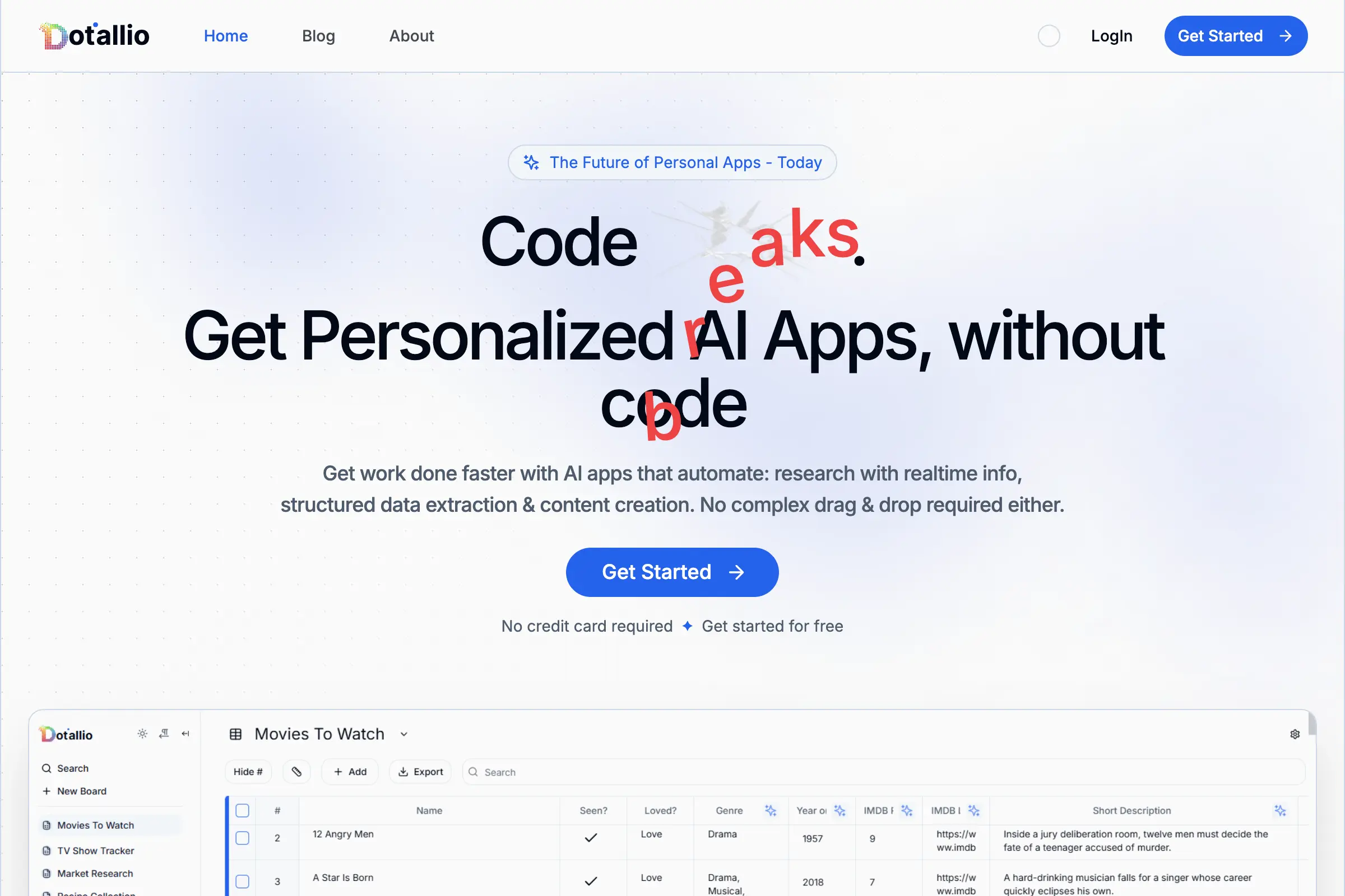
Dotallio
Personalized AI apps that automate research, data extraction, and content creation without code 🤖

Talk to Santa
Enjoy a magical live video chat or receive a unique AI-generated video greeting from Santa Claus 🎅

pozywka.pl
Scalable blog for food journalist, focused on performance and user experience 🌭
zagrodzki.me
Personal blog and portfolio of Bart Zagrodzki, where he shares his knowledge and work 💼

TurboStarter
Ship your startup everywhere. In minutes.
HTML to Markdown
Convert HTML to Markdown with ease, directly in your browser 📄
Dotallio
Personalized AI apps that automate research, data extraction, and content creation without code 🤖
Talk to Santa
Enjoy a magical live video chat or receive a unique AI-generated video greeting from Santa Claus 🎅
pozywka.pl
Scalable blog for food journalist, focused on performance and user experience 🌭
zagrodzki.me
Personal blog and portfolio of Bart Zagrodzki, where he shares his knowledge and work 💼
TurboStarter
Ship your startup everywhere. In minutes.
HTML to Markdown
Convert HTML to Markdown with ease, directly in your browser 📄
Dotallio
Personalized AI apps that automate research, data extraction, and content creation without code 🤖
Talk to Santa
Enjoy a magical live video chat or receive a unique AI-generated video greeting from Santa Claus 🎅
pozywka.pl
Scalable blog for food journalist, focused on performance and user experience 🌭
zagrodzki.me
Personal blog and portfolio of Bart Zagrodzki, where he shares his knowledge and work 💼
TurboStarter
Ship your startup everywhere. In minutes.
HTML to Markdown
Convert HTML to Markdown with ease, directly in your browser 📄
Dotallio
Personalized AI apps that automate research, data extraction, and content creation without code 🤖
Talk to Santa
Enjoy a magical live video chat or receive a unique AI-generated video greeting from Santa Claus 🎅
pozywka.pl
Scalable blog for food journalist, focused on performance and user experience 🌭
zagrodzki.me
Personal blog and portfolio of Bart Zagrodzki, where he shares his knowledge and work 💼
TurboStarter
Ship your startup everywhere. In minutes.
HTML to Markdown
Convert HTML to Markdown with ease, directly in your browser 📄
Omichat
Chat with 50+ AI models, including ChatGPT and Claude, in one place - switch models anytime without losing context 🤖
Claude Fast
Supercharge your Claude Code with 6x effective context window and specialized AI agents 🤖

EmojAI
AI-powered emoji picker with smart, context-aware suggestions 🤖

Solohacker
Autonomous company launcher - AI agents work 24/7, escalate what matters, and you stay in control 🤖

BeRawi: Storytelling Coach
Practice storytelling daily with instant feedback to sound clearer, more engaging, and confident 🎤
Omichat
Chat with 50+ AI models, including ChatGPT and Claude, in one place - switch models anytime without losing context 🤖
Claude Fast
Supercharge your Claude Code with 6x effective context window and specialized AI agents 🤖
EmojAI
AI-powered emoji picker with smart, context-aware suggestions 🤖
Solohacker
Autonomous company launcher - AI agents work 24/7, escalate what matters, and you stay in control 🤖
BeRawi: Storytelling Coach
Practice storytelling daily with instant feedback to sound clearer, more engaging, and confident 🎤
Omichat
Chat with 50+ AI models, including ChatGPT and Claude, in one place - switch models anytime without losing context 🤖
Claude Fast
Supercharge your Claude Code with 6x effective context window and specialized AI agents 🤖
EmojAI
AI-powered emoji picker with smart, context-aware suggestions 🤖
Solohacker
Autonomous company launcher - AI agents work 24/7, escalate what matters, and you stay in control 🤖
BeRawi: Storytelling Coach
Practice storytelling daily with instant feedback to sound clearer, more engaging, and confident 🎤
Omichat
Chat with 50+ AI models, including ChatGPT and Claude, in one place - switch models anytime without losing context 🤖
Claude Fast
Supercharge your Claude Code with 6x effective context window and specialized AI agents 🤖
EmojAI
AI-powered emoji picker with smart, context-aware suggestions 🤖
Solohacker
Autonomous company launcher - AI agents work 24/7, escalate what matters, and you stay in control 🤖
BeRawi: Storytelling Coach
Practice storytelling daily with instant feedback to sound clearer, more engaging, and confident 🎤

Connect with like-minded people
Join our community to get feedback, support, and grow together with 1,000+ builders on board, let's ship it!
Join usShip your startup everywhere. In minutes.
Don't burn tokens on setup and start building features on day one.