PathRisk
Real-time trail risk scanner combining weather, terrain data, and user reports to warn runners about hazards before and during runs.
understanding the opportunity behind a real-time trail risk scanner
Trail running has exploded in popularity over the past decade, driven by a global shift toward outdoor fitness, mental wellness, and adventure sports. Yet, unlike road running, trail running comes with unpredictable hazards: sudden weather changes, unstable terrain, wildlife encounters, poor visibility, and even human-related risks.
This is where a real-time trail risk scanner like PathRisk creates a compelling market opportunity.
At its core, PathRisk combines weather intelligence, terrain data, and crowdsourced reports to proactively warn runners about hazards before and during their runs. This aligns directly with a growing user expectation: predictive safety, not reactive alerts.
Modern runners don’t just want tracking—they want context-aware guidance.
target audience analysis
Understanding the target audience is critical for product-market fit and SEO alignment. PathRisk serves multiple overlapping user segments, each with distinct motivations and risk tolerance levels.
primary users: trail runners and outdoor athletes
These are the core users actively searching for:
- “trail safety apps”
- “running hazard alerts”
- “weather alerts for runners”
- “best apps for trail running safety”
Key characteristics:
- Age: 20–45
- Tech-savvy, uses wearables (Garmin, Apple Watch)
- Already uses apps like Strava, AllTrails, or Komoot
- Values performance and safety
secondary users: hikers, cyclists, and solo adventurers
PathRisk can easily expand into adjacent outdoor categories:
- Hikers navigating remote terrain
- Mountain bikers dealing with trail conditions
- Solo travelers in nature-heavy environments
These users prioritize situational awareness over performance metrics.
tertiary stakeholders: organizations and event planners
- Trail race organizers
- Outdoor tour operators
- National park services
They need:
- Real-time risk dashboards
- Incident prevention tools
- Liability reduction mechanisms
Key insight
Users are not just searching for “tracking apps” anymore—they are actively seeking risk-aware navigation tools that reduce uncertainty in outdoor environments.
market gap and timing
existing solutions fall short
Current apps address only fragments of the problem:
- Strava: performance-focused, lacks safety intelligence
- AllTrails: static trail info, limited real-time updates
- Garmin Connect: device-based insights, not environment-aware
- Weather apps: generalized, not location-specific to trails
None combine:
- real-time weather overlays
- terrain risk scoring
- user-generated hazard reporting
- predictive alerts
the shift toward predictive outdoor tech
Recent trends indicate strong validation:
- Increased adoption of AI-powered recommendations
- Growth in hyperlocal weather APIs
- Expansion of IoT + wearable integration
- Rising demand for solo safety tools
You can reference reports from sources like Statista or McKinsey for outdoor recreation growth and wearable adoption trends.
why now?
Three enabling factors make PathRisk viable today:
- Improved geospatial APIs (Mapbox, Google Maps)
- Real-time weather data access (e.g., NOAA, OpenWeather)
- User-generated data ecosystems (proven by Waze)
core product vision and features
PathRisk should not just be an app—it should function as a real-time risk intelligence layer for outdoor movement.
1. real-time trail risk scoring
Each trail segment receives a dynamic risk score based on:
- Weather conditions (rain, wind, lightning)
- Terrain data (elevation, slope, erosion)
- Historical incident reports
- Time of day (visibility factors)
Example:
- “Moderate risk: slippery terrain due to recent rainfall”
- “High risk: lightning probability in next 30 minutes”
2. live hazard alerts during activity
Push notifications triggered by:
- Sudden weather changes
- Nearby reported hazards
- Entering high-risk zones
This transforms the app into a proactive safety assistant.
3. crowdsourced incident reporting
Users can report:
- Fallen trees
- Mudslides
- Aggressive wildlife
- Unsafe human activity
Gamification can encourage participation:
- Trust scores
- Verified reports
- Community badges
4. route planning with risk awareness
Before starting a run:
- Compare multiple routes based on safety
- View predicted risk over time
- Optimize for both performance and safety
5. wearable integration
Seamless integration with:
- Apple Watch
- Garmin devices
- Fitbit
This allows:
- Haptic alerts
- Offline warnings
- Emergency notifications
6. offline mode with cached risk data
Critical for remote areas:
- Preloaded risk maps
- Emergency fallback alerts
- Last-known weather predictions
feature comparison with existing tools
| Feature | PathRisk | Strava | AllTrails | Weather Apps |
|---|---|---|---|---|
| Real-time hazard alerts | ✅ | ❌ | ❌ | ✅ |
| Terrain-based risk scoring | ✅ | ❌ | ✅ | ❌ |
| Crowdsourced incident reports | ✅ | ✅ | ✅ | ❌ |
| Predictive safety insights | ✅ | ❌ | ❌ | ❌ |
recommended tech stack and architecture
Building PathRisk requires a real-time, data-intensive architecture.
frontend (mobile-first)
- React Native for cross-platform development
- Expo for faster prototyping
- Map rendering via Mapbox
Trade-off:
- React Native accelerates development but may require native modules for advanced performance.
backend and data processing
- Node.js (real-time APIs)
- Python for risk modeling and data aggregation
- GraphQL for flexible data querying
real-time infrastructure
- WebSockets or Firebase Realtime DB
- Event-driven architecture (e.g., Kafka or Pub/Sub)
data sources
- Weather APIs (e.g., OpenWeather)
- Elevation/terrain datasets (NASA, USGS)
- User-generated reports
AI and prediction layer
- Risk scoring models using:
- historical patterns
- real-time inputs
- anomaly detection
Example pseudo-logic:
function calculateRisk(weather, terrain, reports) {
  let score = 0;

  if (weather.rain > 0.7) score += 30;
  if (terrain.slope > 25) score += 20;
  if (reports.recentHazards > 2) score += 25;

  return Math.min(score, 100);
}
deployment
- AWS or GCP for scalability
- CDN for map performance
- Edge functions for real-time alerts
monetization strategies
PathRisk has multiple revenue streams that can coexist without hurting user trust.
freemium model (primary)
Free tier:
- Basic tracking
- Limited alerts
- Community reports
Premium tier:
- Advanced risk predictions
- Offline maps
- Personalized alerts
- Wearable integrations
subscription pricing
- $5–$12/month depending on features
- Annual discount for retention
b2b partnerships
- Trail organizations
- Event organizers
- Outdoor brands
Offer:
- Risk dashboards
- API access
- Branding integrations
data insights platform
Aggregate anonymized data for:
- Urban planners
- Environmental agencies
- Insurance companies
Important consideration
User privacy must be a top priority. Location data should be anonymized and transparent policies must be enforced to maintain trust.
competitive advantage and differentiation
PathRisk’s defensibility lies in data network effects + predictive intelligence.
key differentiators
- Real-time + predictive (not just reactive)
- Multi-source data fusion (weather + terrain + users)
- Safety-first positioning (not performance-first)
long-term moat
- Growing dataset of trail risks
- Machine learning improvements over time
- Community trust and engagement
positioning statement
“PathRisk is the Waze for trail safety.”
That mental model is powerful—and easy to communicate.
potential risks and mitigation strategies
1. data accuracy challenges
Risk:
- False positives or missed hazards
Mitigation:
- Confidence scoring
- Multi-source validation
- User feedback loops
2. user adoption barrier
Risk:
- Users stick with existing apps
Mitigation:
- Integrations with Strava, Garmin
- Companion app strategy (not replacement)
3. battery consumption
Risk:
- Real-time tracking drains devices
Mitigation:
- Efficient background processing
- Adaptive tracking frequency
4. liability concerns
Risk:
- Users relying on inaccurate alerts
Mitigation:
- Clear disclaimers
- Risk probability framing (not certainty)
go-to-market strategy
phase 1: niche domination
Start with:
- Trail runners in high-risk regions (e.g., Colorado, Alps)
- Partner with local communities
phase 2: influencer and community growth
- Collaborate with trail running influencers
- Sponsor trail events
- Encourage user-generated content
phase 3: expand vertically
- Hiking
- Cycling
- Outdoor tourism
implementation roadmap
building faster with modern SaaS tools
Instead of starting from scratch, you can accelerate development using prebuilt SaaS foundations.
One strong option is TurboStarter, which helps you:
- Set up authentication and billing quickly
- Launch scalable SaaS infrastructure
- Focus on core product innovation
This can reduce months of development time, especially for MVP launch.
future expansion opportunities
PathRisk can evolve into a broader outdoor intelligence platform.
possible extensions
- AI-powered route recommendations
- Emergency SOS coordination
- Insurance integrations
- AR-based hazard visualization
long-term vision
A unified system that answers:
“Is it safe to go here right now?”
That question extends far beyond running.
frequently asked questions
Weather apps provide general forecasts, while PathRisk contextualizes weather specifically for trails, terrain, and user activity to generate actionable risk insights.
Yes, with cached maps and preloaded risk predictions, users can still receive guidance in remote areas.
When combined with validation systems, trust scores, and multiple data inputs, crowdsourced data becomes highly reliable—similar to navigation apps like Waze.
final thoughts and actionable next steps
PathRisk sits at the intersection of outdoor recreation, real-time data, and predictive safety—a space that is still largely untapped.
To move forward:
- Start with a focused MVP (risk alerts + weather integration)
- Target a specific user group (trail runners)
- Build strong data pipelines early
- Prioritize trust, accuracy, and usability
The real opportunity isn’t just building another fitness app—it’s creating a new category of risk-aware outdoor intelligence.
If executed well, PathRisk could become an essential companion for anyone stepping off the pavement and into uncertainty.
More 📱 Mobile App SaaS ideas
Discover more innovative mobile app SaaS ideas that are trending in 2026. Each idea is AI-generated with market validation and growth potential to help you find your next profitable venture faster than competitors.
Your competitors are building with TurboStarter
Below are some of the SaaS ideas that have been generated and built with our starter kit.

Statiko
Monitor any Telegram channel in real time - track posts, edits, deletions, and growth with AI recaps 📡

Shibui
AI website builder - describe your business, pick a niche template, edit by chatting, and publish instantly ✨

Pro Service
Find verified home service professionals, compare quotes, and pay securely through escrow - built for Brazilians across the US 🏠
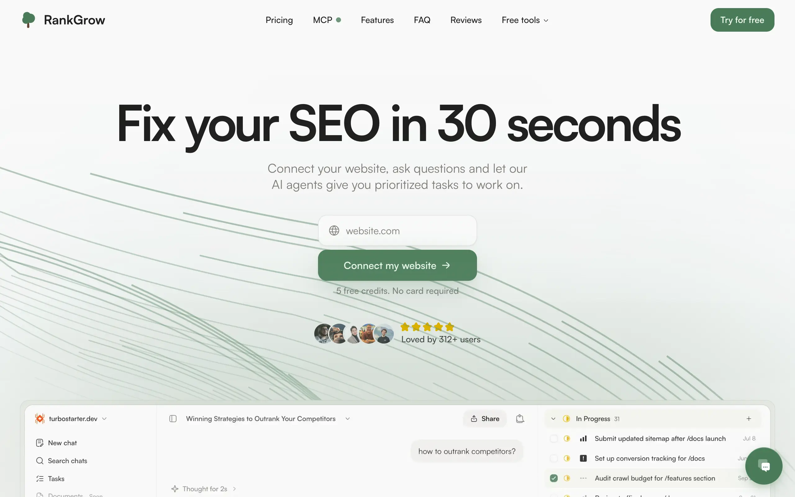
RankGrow
Fix your SEO with AI agents - connect Search Console, get prioritized tasks, and grow organic traffic 📈
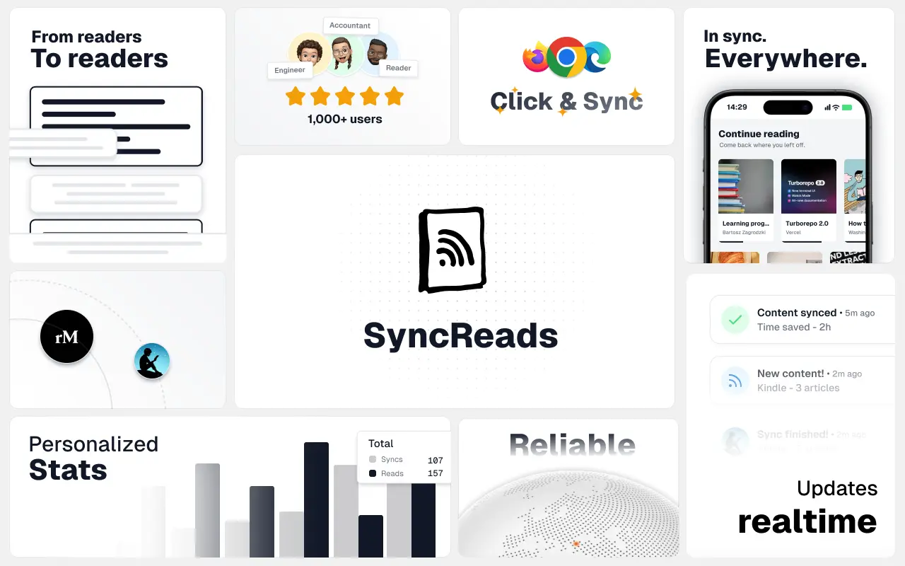
SyncReads
Sync your favorite content for distraction-free reading, save time and replace multiple apps. Anytime, anywhere 🔄
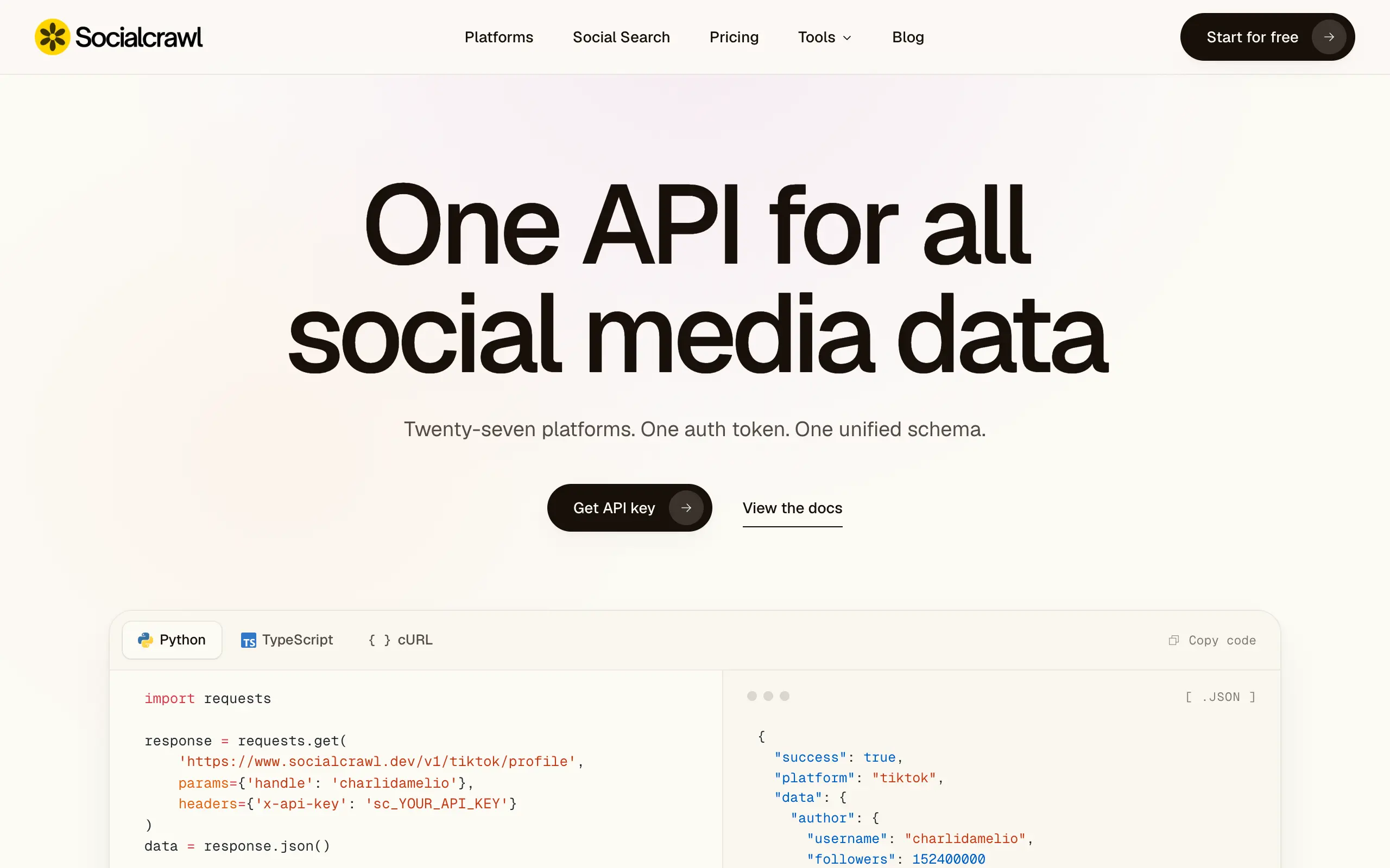
Socialcrawl
Get clean, structured data from 21 platforms like TikTok, Instagram, and YouTube with a single request 📊
Statiko
Monitor any Telegram channel in real time - track posts, edits, deletions, and growth with AI recaps 📡
Shibui
AI website builder - describe your business, pick a niche template, edit by chatting, and publish instantly ✨
Pro Service
Find verified home service professionals, compare quotes, and pay securely through escrow - built for Brazilians across the US 🏠
RankGrow
Fix your SEO with AI agents - connect Search Console, get prioritized tasks, and grow organic traffic 📈
SyncReads
Sync your favorite content for distraction-free reading, save time and replace multiple apps. Anytime, anywhere 🔄
Socialcrawl
Get clean, structured data from 21 platforms like TikTok, Instagram, and YouTube with a single request 📊
Statiko
Monitor any Telegram channel in real time - track posts, edits, deletions, and growth with AI recaps 📡
Shibui
AI website builder - describe your business, pick a niche template, edit by chatting, and publish instantly ✨
Pro Service
Find verified home service professionals, compare quotes, and pay securely through escrow - built for Brazilians across the US 🏠
RankGrow
Fix your SEO with AI agents - connect Search Console, get prioritized tasks, and grow organic traffic 📈
SyncReads
Sync your favorite content for distraction-free reading, save time and replace multiple apps. Anytime, anywhere 🔄
Socialcrawl
Get clean, structured data from 21 platforms like TikTok, Instagram, and YouTube with a single request 📊
Statiko
Monitor any Telegram channel in real time - track posts, edits, deletions, and growth with AI recaps 📡
Shibui
AI website builder - describe your business, pick a niche template, edit by chatting, and publish instantly ✨
Pro Service
Find verified home service professionals, compare quotes, and pay securely through escrow - built for Brazilians across the US 🏠
RankGrow
Fix your SEO with AI agents - connect Search Console, get prioritized tasks, and grow organic traffic 📈
SyncReads
Sync your favorite content for distraction-free reading, save time and replace multiple apps. Anytime, anywhere 🔄
Socialcrawl
Get clean, structured data from 21 platforms like TikTok, Instagram, and YouTube with a single request 📊
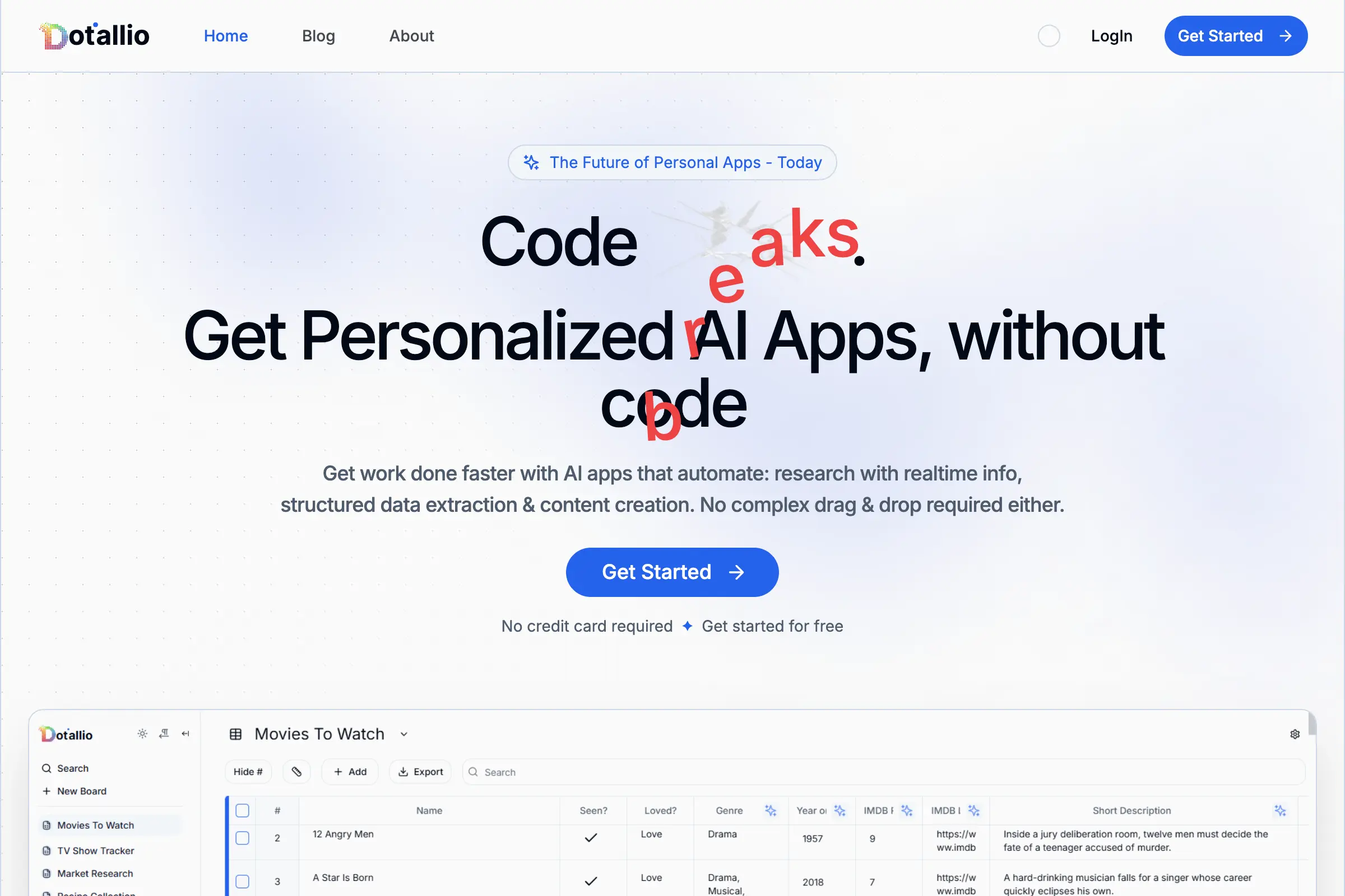
Dotallio
Personalized AI apps that automate research, data extraction, and content creation without code 🤖

Talk to Santa
Enjoy a magical live video chat or receive a unique AI-generated video greeting from Santa Claus 🎅

pozywka.pl
Scalable blog for food journalist, focused on performance and user experience 🌭
zagrodzki.me
Personal blog and portfolio of Bart Zagrodzki, where he shares his knowledge and work 💼
TurboStarter
Ship your startup everywhere. In minutes.
HTML to Markdown
Convert HTML to Markdown with ease, directly in your browser 📄
Dotallio
Personalized AI apps that automate research, data extraction, and content creation without code 🤖
Talk to Santa
Enjoy a magical live video chat or receive a unique AI-generated video greeting from Santa Claus 🎅
pozywka.pl
Scalable blog for food journalist, focused on performance and user experience 🌭
zagrodzki.me
Personal blog and portfolio of Bart Zagrodzki, where he shares his knowledge and work 💼
TurboStarter
Ship your startup everywhere. In minutes.
HTML to Markdown
Convert HTML to Markdown with ease, directly in your browser 📄
Dotallio
Personalized AI apps that automate research, data extraction, and content creation without code 🤖
Talk to Santa
Enjoy a magical live video chat or receive a unique AI-generated video greeting from Santa Claus 🎅
pozywka.pl
Scalable blog for food journalist, focused on performance and user experience 🌭
zagrodzki.me
Personal blog and portfolio of Bart Zagrodzki, where he shares his knowledge and work 💼
TurboStarter
Ship your startup everywhere. In minutes.
HTML to Markdown
Convert HTML to Markdown with ease, directly in your browser 📄
Dotallio
Personalized AI apps that automate research, data extraction, and content creation without code 🤖
Talk to Santa
Enjoy a magical live video chat or receive a unique AI-generated video greeting from Santa Claus 🎅
pozywka.pl
Scalable blog for food journalist, focused on performance and user experience 🌭
zagrodzki.me
Personal blog and portfolio of Bart Zagrodzki, where he shares his knowledge and work 💼
TurboStarter
Ship your startup everywhere. In minutes.
HTML to Markdown
Convert HTML to Markdown with ease, directly in your browser 📄
Omichat
Chat with 50+ AI models, including ChatGPT and Claude, in one place - switch models anytime without losing context 🤖
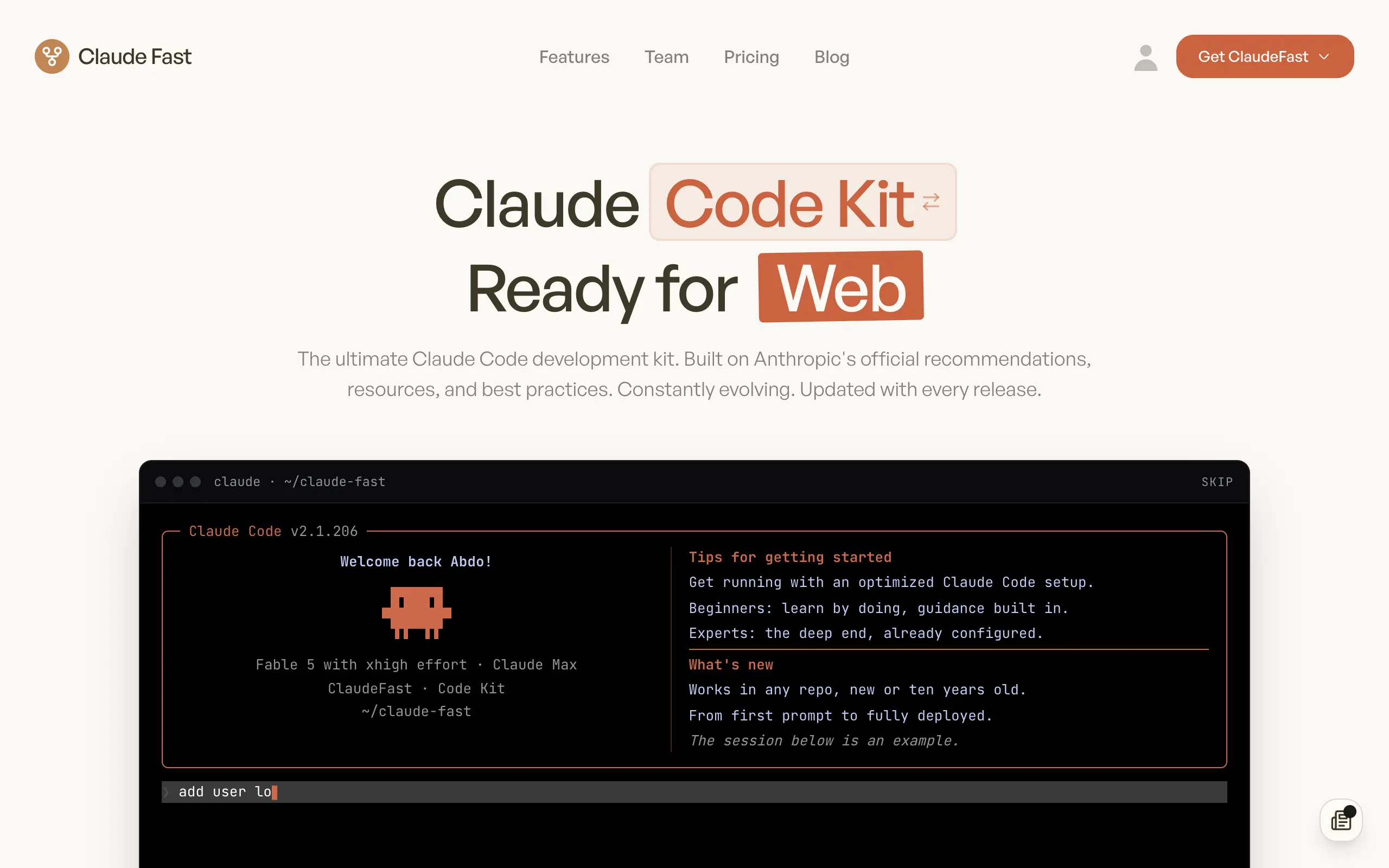
Claude Fast
Supercharge your Claude Code with 6x effective context window and specialized AI agents 🤖

EmojAI
AI-powered emoji picker with smart, context-aware suggestions 🤖

Solohacker
Autonomous company launcher - AI agents work 24/7, escalate what matters, and you stay in control 🤖

BeRawi: Storytelling Coach
Practice storytelling daily with instant feedback to sound clearer, more engaging, and confident 🎤
Omichat
Chat with 50+ AI models, including ChatGPT and Claude, in one place - switch models anytime without losing context 🤖
Claude Fast
Supercharge your Claude Code with 6x effective context window and specialized AI agents 🤖
EmojAI
AI-powered emoji picker with smart, context-aware suggestions 🤖
Solohacker
Autonomous company launcher - AI agents work 24/7, escalate what matters, and you stay in control 🤖
BeRawi: Storytelling Coach
Practice storytelling daily with instant feedback to sound clearer, more engaging, and confident 🎤
Omichat
Chat with 50+ AI models, including ChatGPT and Claude, in one place - switch models anytime without losing context 🤖
Claude Fast
Supercharge your Claude Code with 6x effective context window and specialized AI agents 🤖
EmojAI
AI-powered emoji picker with smart, context-aware suggestions 🤖
Solohacker
Autonomous company launcher - AI agents work 24/7, escalate what matters, and you stay in control 🤖
BeRawi: Storytelling Coach
Practice storytelling daily with instant feedback to sound clearer, more engaging, and confident 🎤
Omichat
Chat with 50+ AI models, including ChatGPT and Claude, in one place - switch models anytime without losing context 🤖
Claude Fast
Supercharge your Claude Code with 6x effective context window and specialized AI agents 🤖
EmojAI
AI-powered emoji picker with smart, context-aware suggestions 🤖
Solohacker
Autonomous company launcher - AI agents work 24/7, escalate what matters, and you stay in control 🤖
BeRawi: Storytelling Coach
Practice storytelling daily with instant feedback to sound clearer, more engaging, and confident 🎤

Connect with like-minded people
Join our community to get feedback, support, and grow together with 1,000+ builders on board, let's ship it!
Join usShip your startup everywhere. In minutes.
Don't burn tokens on setup and start building features on day one.