NestMap
Interactive mapping tool for tracking bird nests, migration routes, and rare sightings, supporting citizen science and habitat preservation efforts.
Understanding the need for interactive bird mapping tools
Birdwatching and ornithology have seen a surge in popularity, driven by both hobbyists and professional researchers. As environmental concerns grow, so does the need for accurate, real-time data on bird populations, nesting sites, migration routes, and rare sightings. NestMap emerges as an innovative SaaS solution, offering an interactive mapping tool designed to empower citizen scientists, conservationists, and researchers in tracking bird nests and migration patterns, while supporting habitat preservation efforts.
This article provides a comprehensive, expert-level analysis of NestMap, covering its target audience, market opportunity, core features, recommended tech stack, monetization strategies, risk mitigation, competitive advantages, and actionable steps for implementation.
Who benefits from NestMap? Target audience analysis
Understanding the core users is essential for any SaaS product. NestMap’s primary and secondary audiences include:
Primary audiences
- Citizen scientists and birdwatchers: Individuals passionate about birding, eager to contribute to scientific knowledge by logging nest locations, migration routes, and rare sightings.
- Conservation organizations: NGOs and local groups focused on habitat preservation, species monitoring, and environmental advocacy.
- Academic researchers and students: Ornithologists, ecologists, and students conducting field studies or long-term monitoring projects.
Secondary audiences
- Wildlife agencies and policymakers: Government bodies responsible for biodiversity, land management, and environmental policy.
- Educators and schools: Teachers integrating citizen science and environmental awareness into curricula.
- Eco-tourism operators: Businesses promoting birdwatching tours and sustainable travel.
User needs and search intent
Most users searching for interactive bird mapping tools are looking for:
- Easy-to-use platforms for logging and visualizing bird data.
- Reliable, up-to-date information on nests, migration, and sightings.
- Collaboration features to connect with other enthusiasts or researchers.
- Data export and integration for research or reporting purposes.
- Mobile accessibility for fieldwork.
NestMap is designed to address these needs directly, providing a seamless, authoritative, and trustworthy experience.
Identifying the market opportunity and gaps
The global birdwatching market is estimated to include over 45 million participants in the US alone (source: U.S. Fish & Wildlife Service, suggest referencing their 2022 report). The rise of citizen science platforms like eBird and iNaturalist demonstrates a strong appetite for digital tools that facilitate wildlife tracking and data sharing.
Key market gaps
- Granular nest tracking: Existing platforms often focus on sightings, not detailed nest monitoring or mapping.
- Migration route visualization: Few tools offer interactive, real-time migration mapping with user-contributed data.
- Rare species alerts: There is a lack of customizable notifications for rare or endangered species sightings.
- Community-driven habitat preservation: Most solutions lack features that directly support conservation actions or connect users with local initiatives.
Trends driving demand
- Growth in citizen science: Increased public interest in contributing to scientific research.
- Mobile-first fieldwork: Demand for tools that work seamlessly on smartphones and tablets.
- Open data and interoperability: Researchers and organizations seek platforms that allow easy data export and integration with other systems.
NestMap is uniquely positioned to fill these gaps, offering a specialized, interactive mapping tool that goes beyond simple sighting logs.
Core features and solution details
NestMap’s value lies in its robust, user-centric feature set. Below is a breakdown of the essential and advanced features that set it apart.
Essential features
- Interactive map interface: Users can log nest locations, migration routes, and sightings with geotagged pins.
- Species database integration: Auto-suggest and validate species names using authoritative databases (e.g., Cornell Lab of Ornithology).
- Photo and note uploads: Attach images and field notes to each entry for richer data.
- User profiles and contributions: Track individual and group contributions, fostering community engagement.
- Data privacy controls: Users can choose to keep sensitive nest locations private or share with trusted groups.
Advanced features
- Migration route animation: Visualize seasonal migration patterns using aggregated user data.
- Rare species alerts: Customizable notifications for sightings of rare or endangered birds in user-defined regions.
- Habitat health indicators: Overlay environmental data (e.g., vegetation, water sources) to assess nest site viability.
- Collaboration tools: Create or join projects, share data with research teams, and comment on entries.
- API access and data export: Researchers can export data in standard formats (CSV, GeoJSON) or integrate via API.
Interactive mapping
Log and visualize nests, routes, and sightings on a dynamic map.
Migration route animation
See real-time, animated migration patterns based on user data.
Rare species alerts
Get notified about rare or endangered bird sightings in your area.
Collaboration tools
Work with teams, share data, and contribute to conservation projects.
Recommended tech stack for building NestMap
Choosing the right technology stack is crucial for scalability, performance, and user experience. Here’s an expert recommendation, with trade-offs considered:
Frontend
- React: Modern, component-based UI development; large ecosystem and community support.
- Leaflet or Mapbox GL JS: Interactive mapping libraries; Leaflet is lightweight and open-source, while Mapbox offers advanced features and beautiful map styles (but may incur costs at scale).
- TailwindCSS: Utility-first CSS framework for rapid, responsive design.
Backend
- Node.js: Scalable, event-driven server environment; ideal for real-time data updates.
- PostgreSQL with PostGIS: Robust relational database with powerful geospatial capabilities.
- Redis: For caching and real-time notifications (e.g., rare species alerts).
Mobile
- React Native: Enables cross-platform mobile app development, sharing logic with the web frontend.
Hosting and infrastructure
- AWS or Google Cloud: Scalable cloud hosting, managed databases, and storage.
- Docker: Containerization for consistent deployment.
Trade-offs
- Mapbox vs. Leaflet: Mapbox offers superior visuals and features but can be costly at high usage. Leaflet is free and open-source but may require more customization for advanced features.
- React Native vs. native apps: React Native accelerates development but may not match the performance of fully native apps for complex mapping features.
Monetization strategy options
While supporting citizen science and conservation, NestMap can sustain itself and grow through a thoughtful monetization approach:
Freemium model
- Free tier: Basic mapping, logging, and community features.
- Premium tier: Advanced analytics, migration animations, rare species alerts, and data export.
Organization subscriptions
- NGOs, research groups, and agencies can subscribe for team collaboration, project management, and API access.
Data services
- Custom data reports: Sell aggregated, anonymized data to conservation organizations, researchers, or policymakers.
- API access: Offer paid API plans for third-party integrations.
Sponsorships and grants
- Partner with conservation groups or seek grants to fund platform development and outreach.
Ethical considerations
- No sale of sensitive nest location data to protect vulnerable species.
- Transparent privacy policies to build user trust.
Potential risks and mitigation strategies
Launching a platform like NestMap involves several risks. Here’s how to address them:
Publishing nest locations can endanger rare or threatened species. Mitigation: Implement strict privacy controls, allow users to obscure or restrict sensitive data, and work with conservation experts to set guidelines.
Citizen science data can be prone to errors or misidentification. Mitigation: Integrate species validation tools, enable peer review, and partner with ornithological organizations for data vetting.
Platforms can struggle to maintain active contributors. Mitigation: Gamify contributions, highlight top users, and foster a sense of community through collaboration features.
Real-time mapping and notifications require robust infrastructure. Mitigation: Use scalable cloud services, caching, and efficient geospatial queries.
Charging for features may limit participation. Mitigation: Keep core features free, offer discounts for students/NGOs, and seek alternative funding.
Competitive advantage analysis
How does NestMap stand out in a crowded field of wildlife tracking and citizen science platforms?
| Granular nest tracking | Migration route animation | Rare species alerts | Collaboration tools | Open data export |
|---|---|---|---|---|
| ✅ | ❌ | ❌ | ✅ | ❌ |
| ✅ | ❌ | ✅ | ✅ | ❌ |
Unique selling proposition (USP)
- Specialized nest and migration tracking: Unlike general wildlife platforms, NestMap focuses on the full lifecycle—nesting, migration, and rare sightings.
- Community-driven conservation: Directly connects users with local habitat preservation efforts.
- Advanced mapping and analytics: Real-time, animated migration routes and habitat overlays.
- Privacy-first approach: Protects sensitive data, building trust with users and conservationists.
Actionable steps to implement NestMap
Building a successful SaaS like NestMap requires a structured, iterative approach. Here’s a step-by-step guide:
Conclusion: Why NestMap is the future of bird conservation technology
NestMap is more than just a mapping tool—it’s a catalyst for community-driven science and conservation. By combining granular nest tracking, real-time migration visualization, and robust privacy controls, it empowers users to make a tangible impact on bird habitat preservation. Its unique focus, advanced features, and ethical approach set it apart from generic wildlife platforms.
For SaaS founders, conservationists, and tech enthusiasts, NestMap represents a timely opportunity to leverage technology for environmental good. By following the outlined implementation steps and focusing on user needs, you can build a platform that not only ranks well in search but also makes a real-world difference.
Further resources
- TurboStarter — Accelerate your SaaS MVP development.
- React — Official documentation for building modern UIs.
- Leaflet — Open-source JavaScript library for interactive maps.
- PostGIS — Geospatial database extension for PostgreSQL.
- Cornell Lab of Ornithology — Authoritative bird species data and research.
Expert tip
To maximize user engagement, consider integrating gamification elements—such as badges for rare sightings or leaderboards for top contributors—while maintaining a strong focus on data quality and privacy.
More 💡 Other SaaS ideas
Discover more innovative other SaaS ideas that are trending in 2026. Each idea is AI-generated with market validation and growth potential to help you find your next profitable venture faster than competitors.
Your competitors are building with TurboStarter
Below are some of the SaaS ideas that have been generated and built with our starter kit.
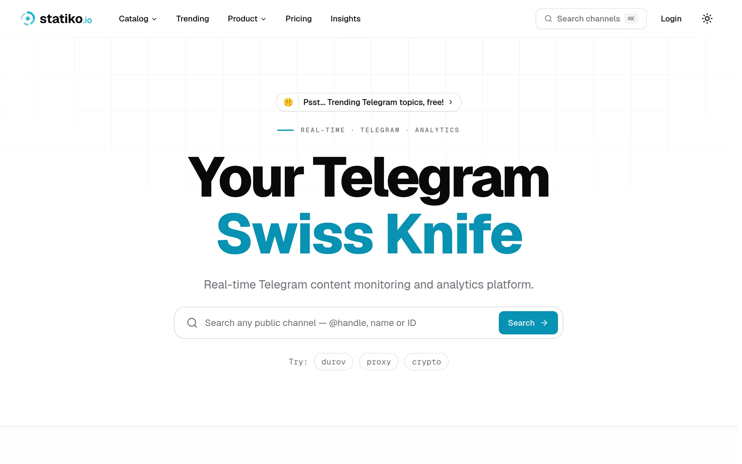
Statiko
Monitor any Telegram channel in real time - track posts, edits, deletions, and growth with AI recaps 📡
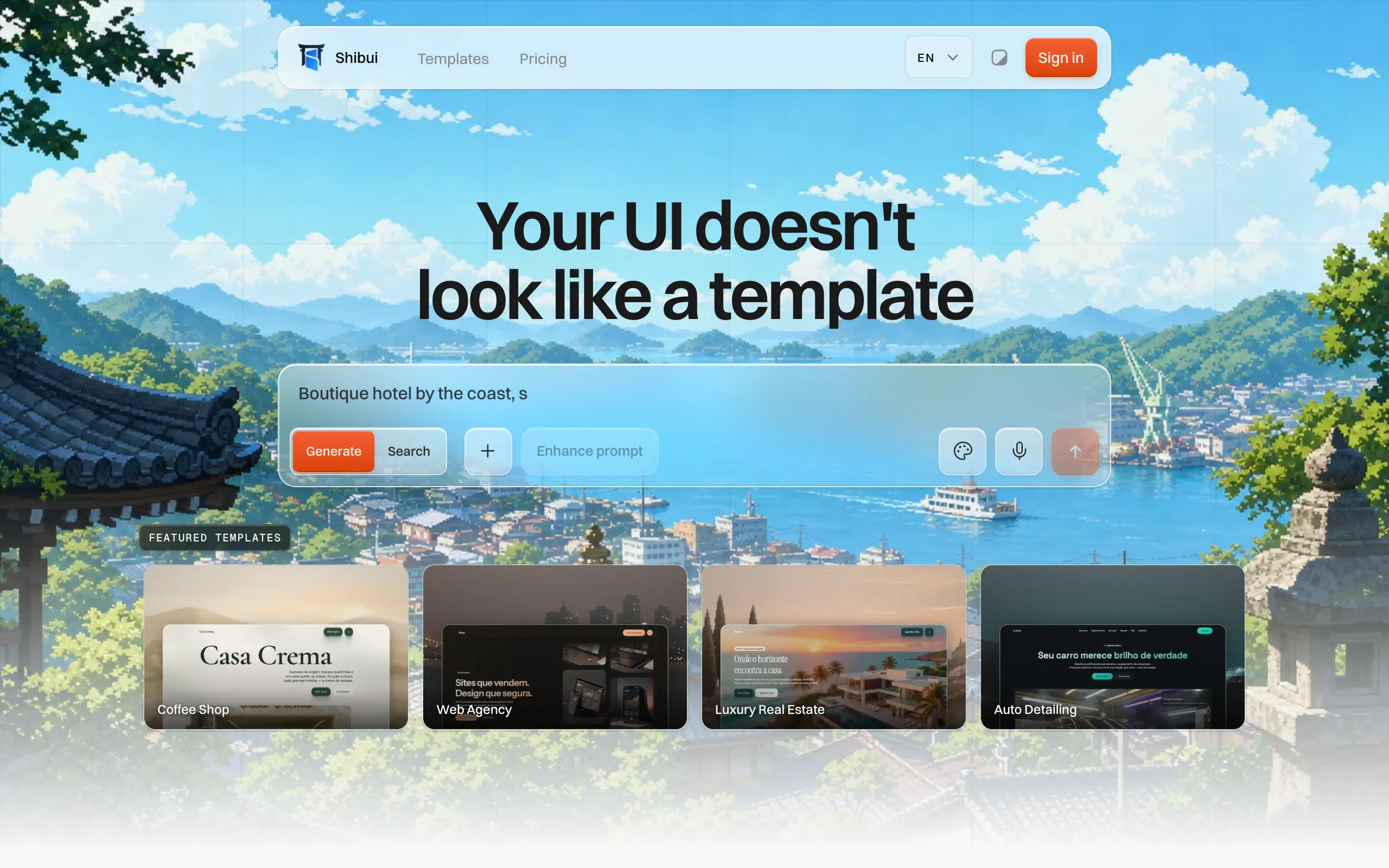
Shibui
AI website builder - describe your business, pick a niche template, edit by chatting, and publish instantly ✨

Pro Service
Find verified home service professionals, compare quotes, and pay securely through escrow - built for Brazilians across the US 🏠
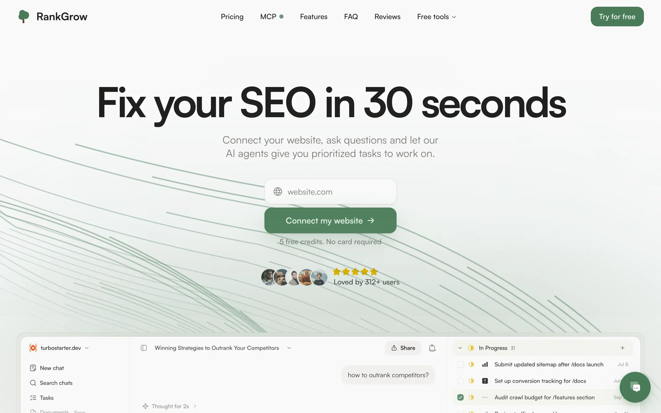
RankGrow
Fix your SEO with AI agents - connect Search Console, get prioritized tasks, and grow organic traffic 📈
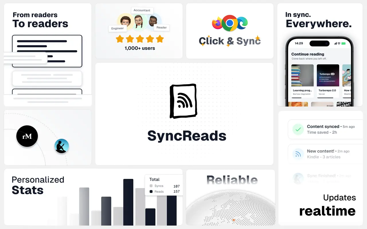
SyncReads
Sync your favorite content for distraction-free reading, save time and replace multiple apps. Anytime, anywhere 🔄
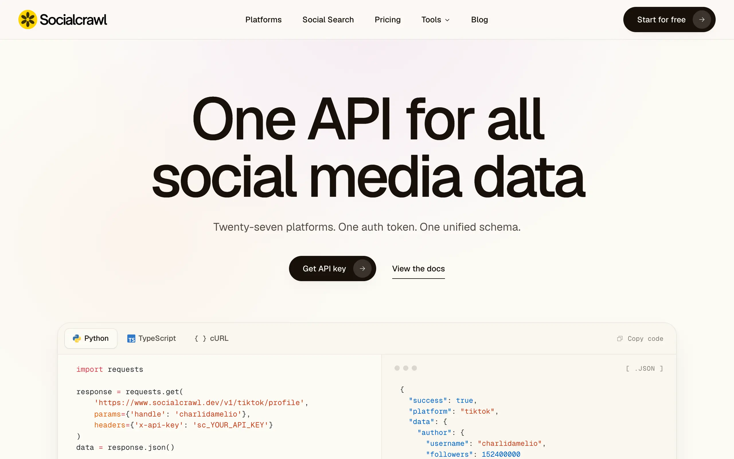
Socialcrawl
Get clean, structured data from 21 platforms like TikTok, Instagram, and YouTube with a single request 📊
Statiko
Monitor any Telegram channel in real time - track posts, edits, deletions, and growth with AI recaps 📡
Shibui
AI website builder - describe your business, pick a niche template, edit by chatting, and publish instantly ✨
Pro Service
Find verified home service professionals, compare quotes, and pay securely through escrow - built for Brazilians across the US 🏠
RankGrow
Fix your SEO with AI agents - connect Search Console, get prioritized tasks, and grow organic traffic 📈
SyncReads
Sync your favorite content for distraction-free reading, save time and replace multiple apps. Anytime, anywhere 🔄
Socialcrawl
Get clean, structured data from 21 platforms like TikTok, Instagram, and YouTube with a single request 📊
Statiko
Monitor any Telegram channel in real time - track posts, edits, deletions, and growth with AI recaps 📡
Shibui
AI website builder - describe your business, pick a niche template, edit by chatting, and publish instantly ✨
Pro Service
Find verified home service professionals, compare quotes, and pay securely through escrow - built for Brazilians across the US 🏠
RankGrow
Fix your SEO with AI agents - connect Search Console, get prioritized tasks, and grow organic traffic 📈
SyncReads
Sync your favorite content for distraction-free reading, save time and replace multiple apps. Anytime, anywhere 🔄
Socialcrawl
Get clean, structured data from 21 platforms like TikTok, Instagram, and YouTube with a single request 📊
Statiko
Monitor any Telegram channel in real time - track posts, edits, deletions, and growth with AI recaps 📡
Shibui
AI website builder - describe your business, pick a niche template, edit by chatting, and publish instantly ✨
Pro Service
Find verified home service professionals, compare quotes, and pay securely through escrow - built for Brazilians across the US 🏠
RankGrow
Fix your SEO with AI agents - connect Search Console, get prioritized tasks, and grow organic traffic 📈
SyncReads
Sync your favorite content for distraction-free reading, save time and replace multiple apps. Anytime, anywhere 🔄
Socialcrawl
Get clean, structured data from 21 platforms like TikTok, Instagram, and YouTube with a single request 📊
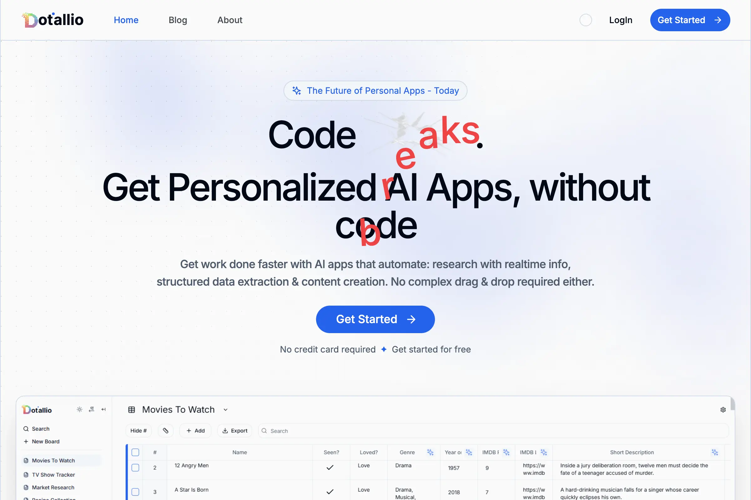
Dotallio
Personalized AI apps that automate research, data extraction, and content creation without code 🤖
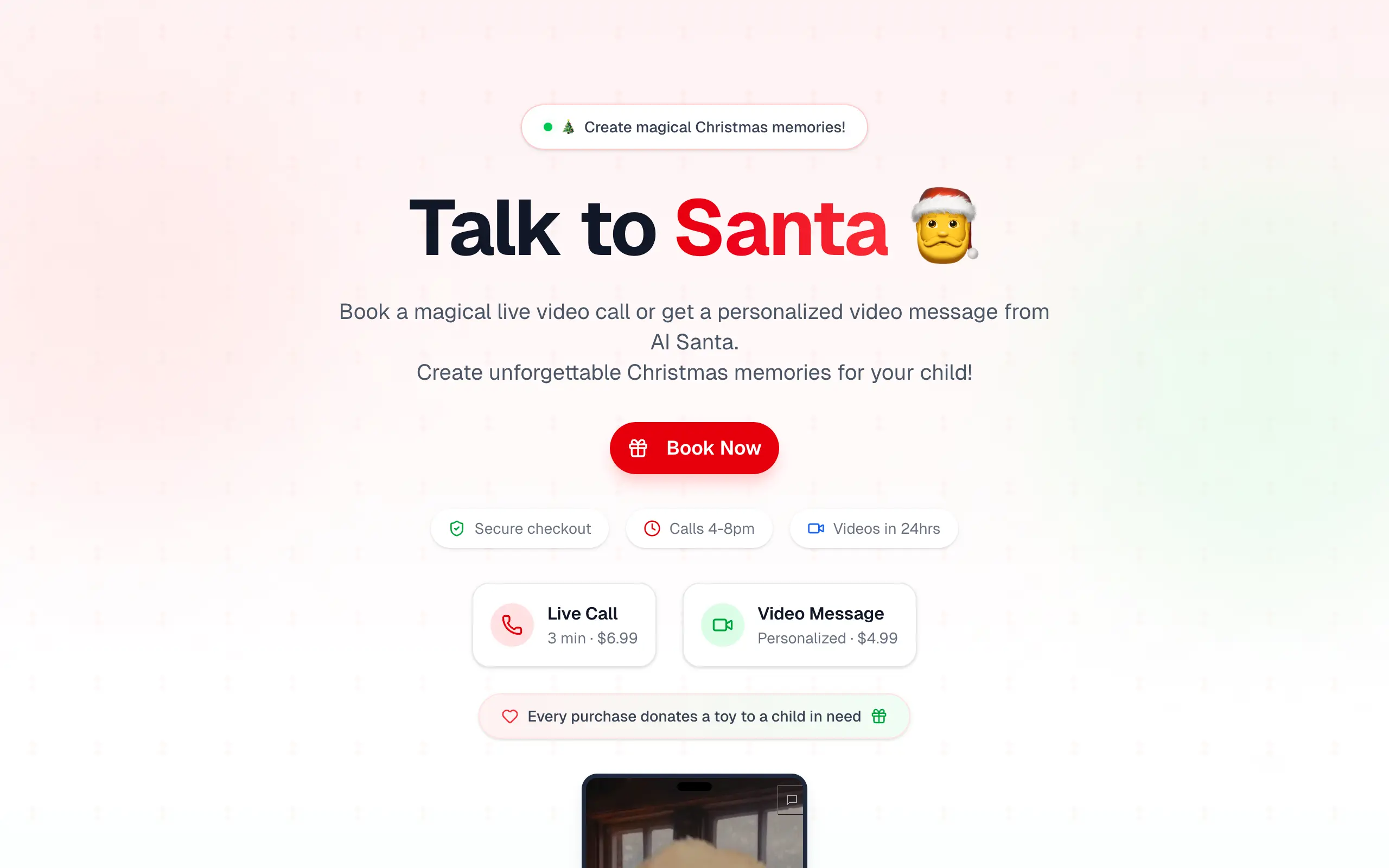
Talk to Santa
Enjoy a magical live video chat or receive a unique AI-generated video greeting from Santa Claus 🎅
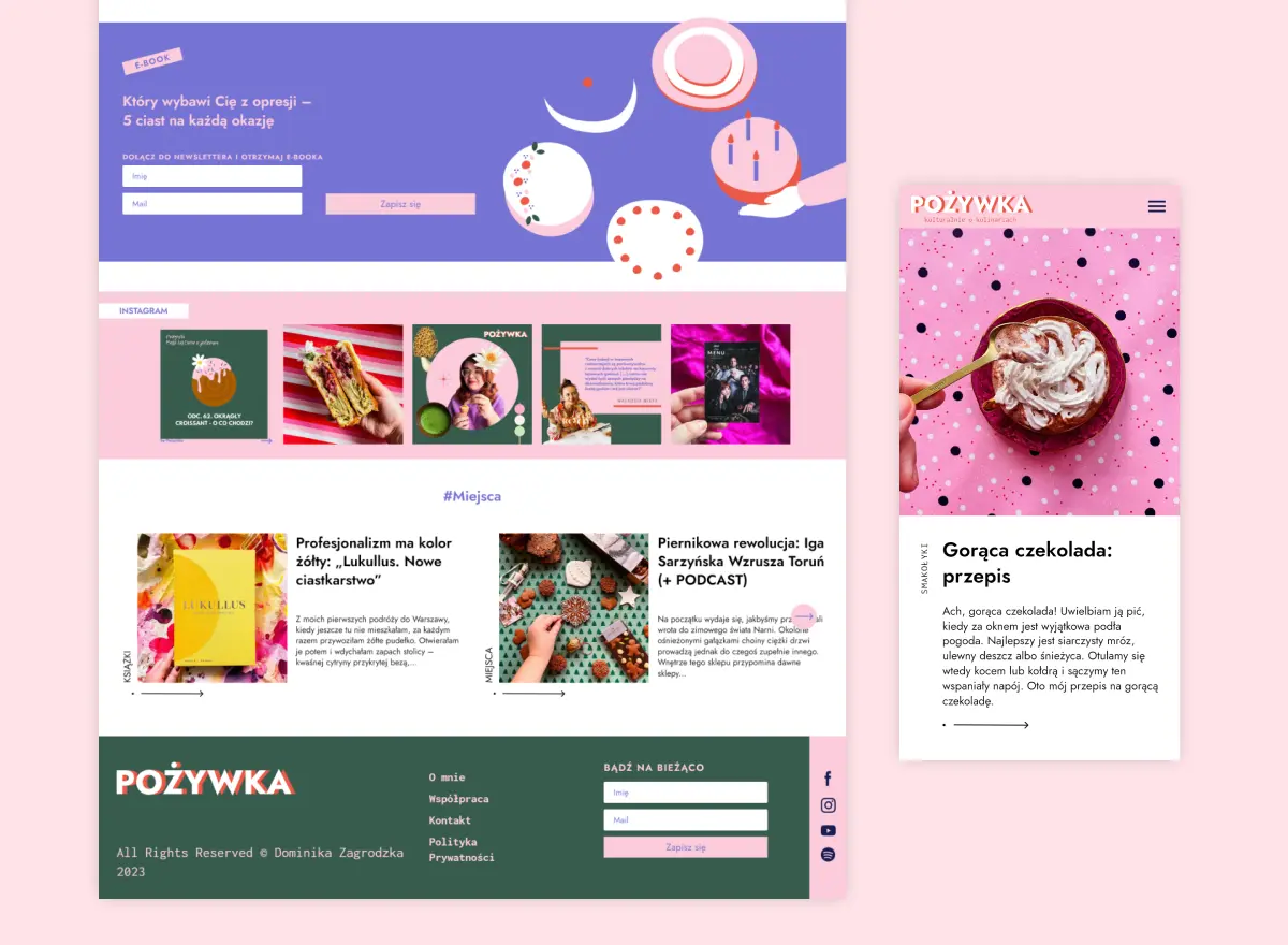
pozywka.pl
Scalable blog for food journalist, focused on performance and user experience 🌭
zagrodzki.me
Personal blog and portfolio of Bart Zagrodzki, where he shares his knowledge and work 💼
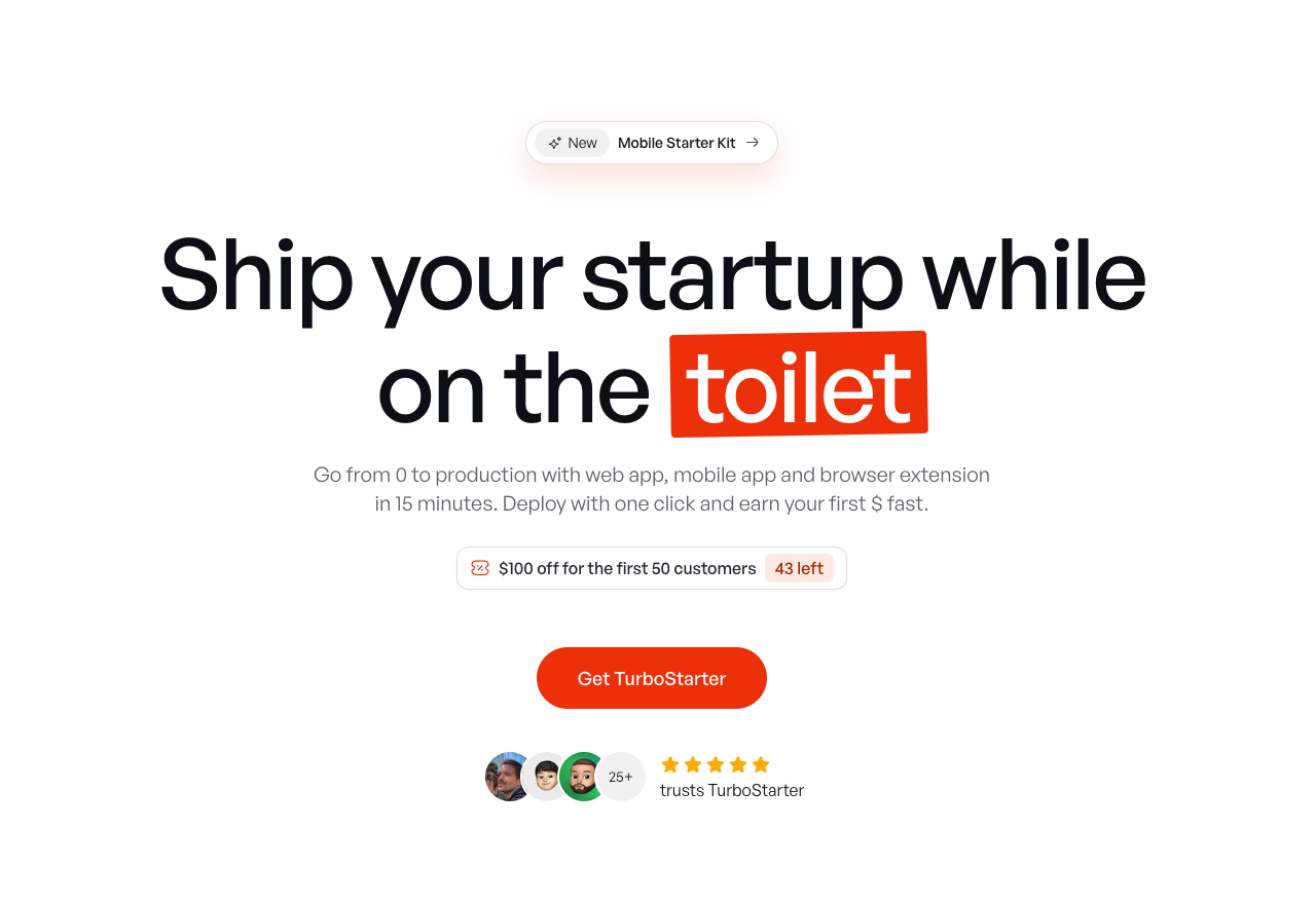
TurboStarter
Ship your startup everywhere. In minutes.
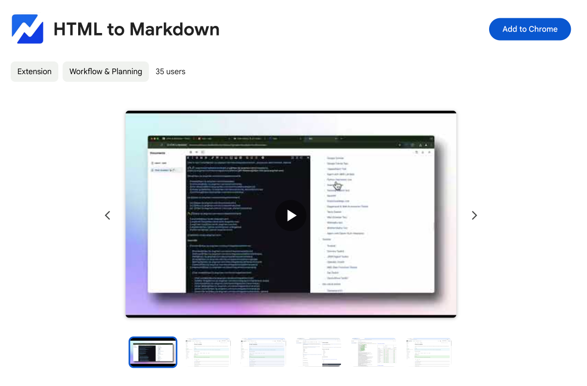
HTML to Markdown
Convert HTML to Markdown with ease, directly in your browser 📄
Dotallio
Personalized AI apps that automate research, data extraction, and content creation without code 🤖
Talk to Santa
Enjoy a magical live video chat or receive a unique AI-generated video greeting from Santa Claus 🎅
pozywka.pl
Scalable blog for food journalist, focused on performance and user experience 🌭
zagrodzki.me
Personal blog and portfolio of Bart Zagrodzki, where he shares his knowledge and work 💼
TurboStarter
Ship your startup everywhere. In minutes.
HTML to Markdown
Convert HTML to Markdown with ease, directly in your browser 📄
Dotallio
Personalized AI apps that automate research, data extraction, and content creation without code 🤖
Talk to Santa
Enjoy a magical live video chat or receive a unique AI-generated video greeting from Santa Claus 🎅
pozywka.pl
Scalable blog for food journalist, focused on performance and user experience 🌭
zagrodzki.me
Personal blog and portfolio of Bart Zagrodzki, where he shares his knowledge and work 💼
TurboStarter
Ship your startup everywhere. In minutes.
HTML to Markdown
Convert HTML to Markdown with ease, directly in your browser 📄
Dotallio
Personalized AI apps that automate research, data extraction, and content creation without code 🤖
Talk to Santa
Enjoy a magical live video chat or receive a unique AI-generated video greeting from Santa Claus 🎅
pozywka.pl
Scalable blog for food journalist, focused on performance and user experience 🌭
zagrodzki.me
Personal blog and portfolio of Bart Zagrodzki, where he shares his knowledge and work 💼
TurboStarter
Ship your startup everywhere. In minutes.
HTML to Markdown
Convert HTML to Markdown with ease, directly in your browser 📄
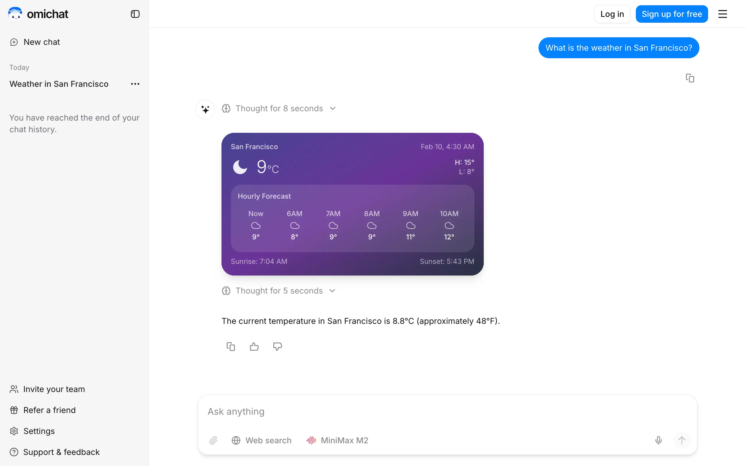
Omichat
Chat with 50+ AI models, including ChatGPT and Claude, in one place - switch models anytime without losing context 🤖
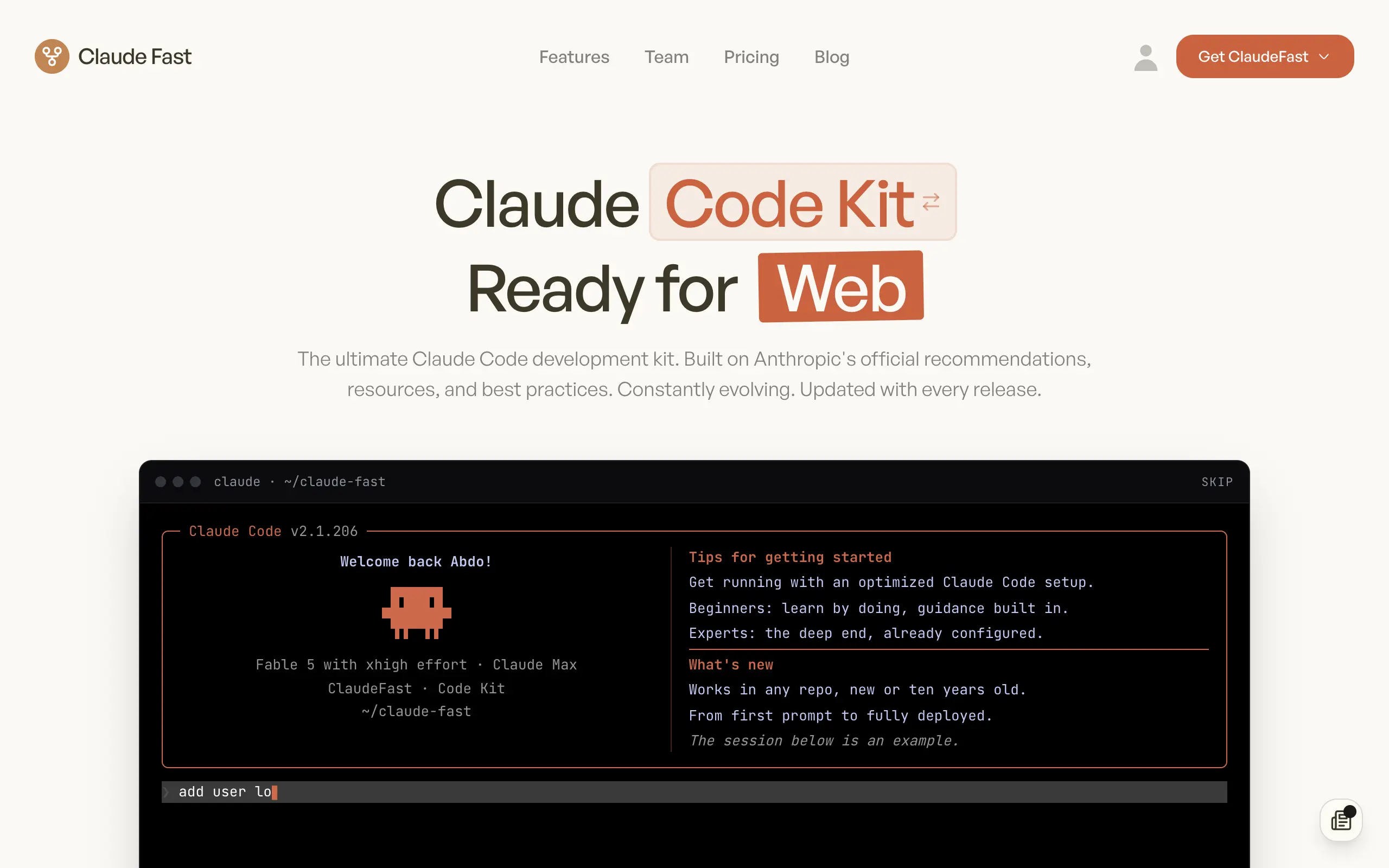
Claude Fast
Supercharge your Claude Code with 6x effective context window and specialized AI agents 🤖
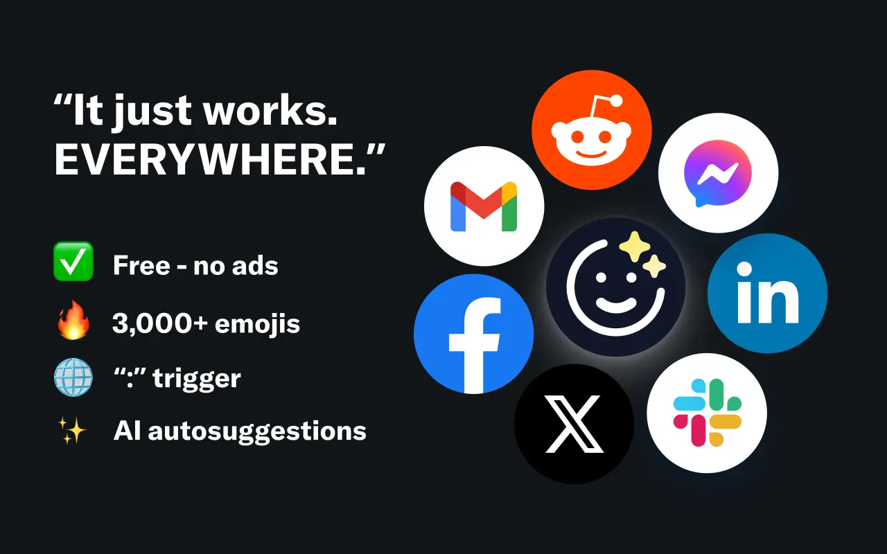
EmojAI
AI-powered emoji picker with smart, context-aware suggestions 🤖
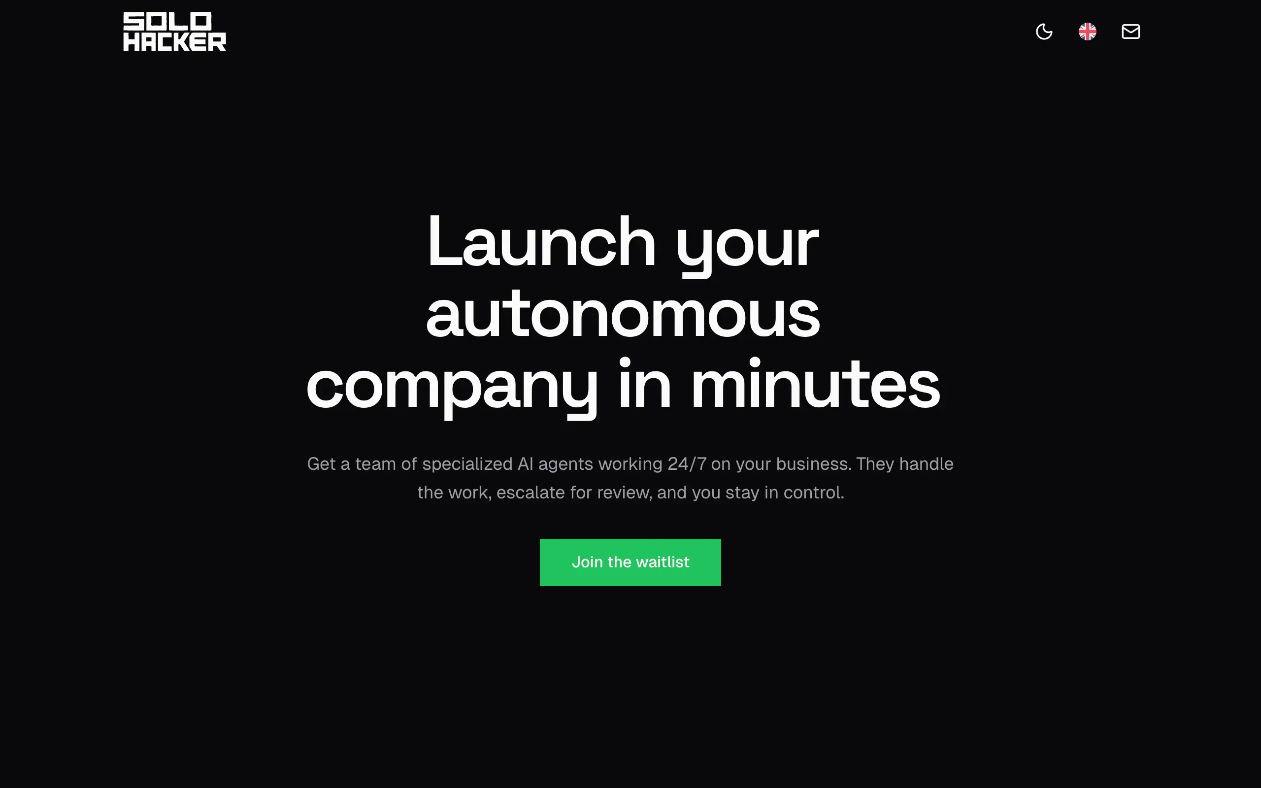
Solohacker
Autonomous company launcher - AI agents work 24/7, escalate what matters, and you stay in control 🤖
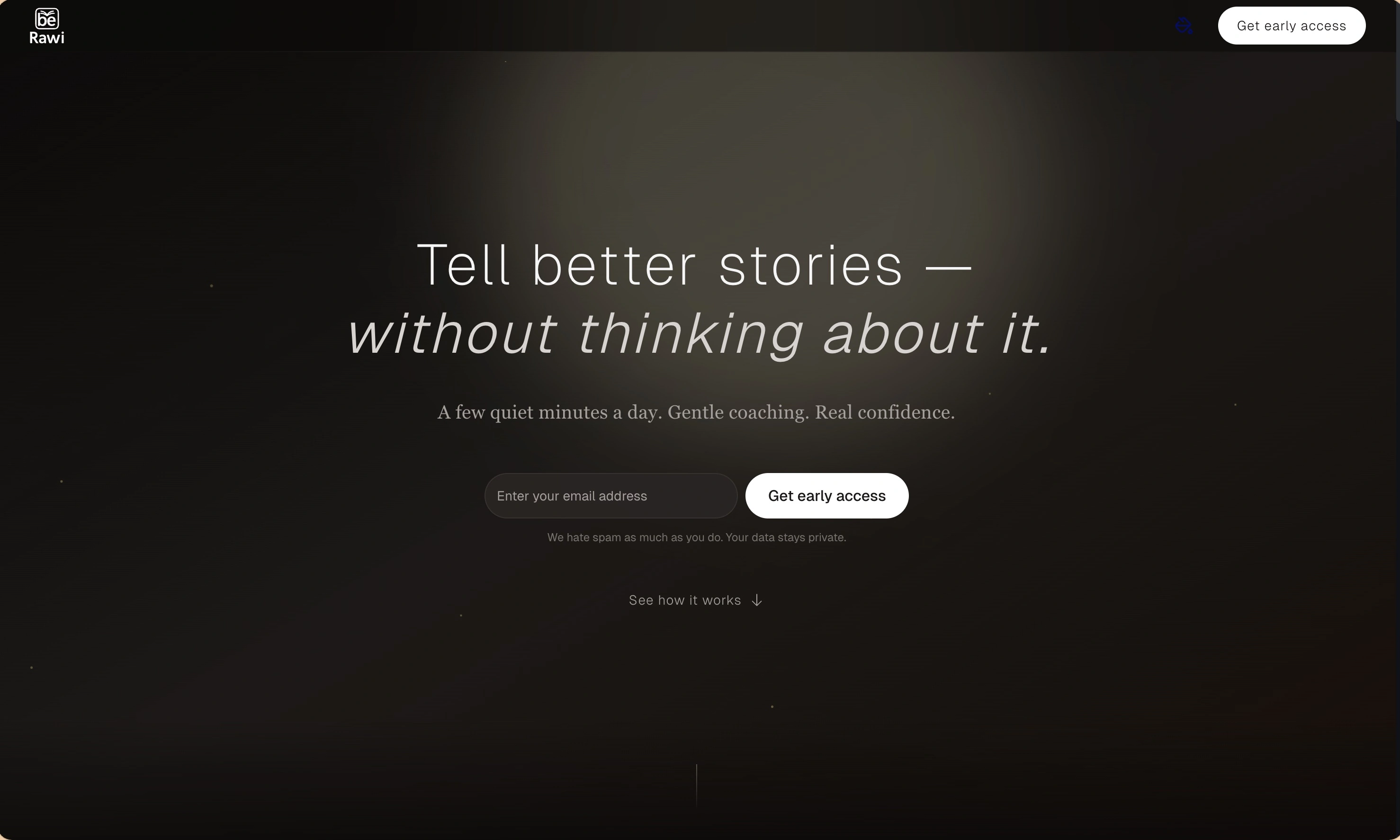
BeRawi: Storytelling Coach
Practice storytelling daily with instant feedback to sound clearer, more engaging, and confident 🎤
Omichat
Chat with 50+ AI models, including ChatGPT and Claude, in one place - switch models anytime without losing context 🤖
Claude Fast
Supercharge your Claude Code with 6x effective context window and specialized AI agents 🤖
EmojAI
AI-powered emoji picker with smart, context-aware suggestions 🤖
Solohacker
Autonomous company launcher - AI agents work 24/7, escalate what matters, and you stay in control 🤖
BeRawi: Storytelling Coach
Practice storytelling daily with instant feedback to sound clearer, more engaging, and confident 🎤
Omichat
Chat with 50+ AI models, including ChatGPT and Claude, in one place - switch models anytime without losing context 🤖
Claude Fast
Supercharge your Claude Code with 6x effective context window and specialized AI agents 🤖
EmojAI
AI-powered emoji picker with smart, context-aware suggestions 🤖
Solohacker
Autonomous company launcher - AI agents work 24/7, escalate what matters, and you stay in control 🤖
BeRawi: Storytelling Coach
Practice storytelling daily with instant feedback to sound clearer, more engaging, and confident 🎤
Omichat
Chat with 50+ AI models, including ChatGPT and Claude, in one place - switch models anytime without losing context 🤖
Claude Fast
Supercharge your Claude Code with 6x effective context window and specialized AI agents 🤖
EmojAI
AI-powered emoji picker with smart, context-aware suggestions 🤖
Solohacker
Autonomous company launcher - AI agents work 24/7, escalate what matters, and you stay in control 🤖
BeRawi: Storytelling Coach
Practice storytelling daily with instant feedback to sound clearer, more engaging, and confident 🎤

Connect with like-minded people
Join our community to get feedback, support, and grow together with 1,000+ builders on board, let's ship it!
Join usShip your startup everywhere. In minutes.
Don't burn tokens on setup and start building features on day one.