LandGrid Pro
A cloud solution for landmen and attorneys, LandGrid Pro links title record management with spatial mapping and real-time team collaboration for seamless title work.
Understanding LandGrid Pro: Bridging title records with spatial mapping for the title industry
The demands on landmen and attorneys have never been higher. As land transactions become more complex and geospatial data more robust, professionals in energy, real estate, and legal sectors require advanced digital tools not just to manage, but to excel at title record management. LandGrid Pro has emerged as a SaaS productivity solution addressing these needs, uniquely integrating title management, spatial mapping, and real-time team collaboration into a seamless cloud platform.
This comprehensive review explores LandGrid Pro’s fit for market needs, its core feature set, recommended tech stack, monetization options, risk landscape, competitive advantages, and actionable implementation steps—equipping teams to make informed SaaS adoption decisions.
Target audience analysis: Who benefits from LandGrid Pro?
LandGrid Pro targets a specialized, yet growing, audience rooted in sectors where land rights, ownership clarity, and project velocity are critical. Understanding this user group is key for feature design and go-to-market strategy.
Core user personas
- Landmen: Field specialists who research, analyze, and verify land ownership and mineral rights. Need intuitive spatial tools and robust title record data.
- Attorneys: Legal professionals working on property law, title disputes, and contract drafting—demand streamlined due diligence, accurate histories, and secure document management.
- Brokerage & land acquisition firms: Require organizational visibility over multiple projects, with granular access controls and integrated mapping for complex tracts.
- Energy, oil & gas companies: Their teams must act fast on lease negotiations, environmental compliance, and title verification, across distributed teams and shifting geographies.
- Government entities and municipalities: Departments managing urban planning, right-of-way acquisition, or public property records.
Key user pain points
- Fragmented workflows: Traditionally, spatial data (maps, surveys) and title records exist in disparate systems, slowing project timelines and increasing error risk.
- Inefficient collaboration: Emailing document versions or using generic cloud storage hampers real-time, multi-user teamwork on sensitive legal matters.
- Geospatial ambiguity: Non-integrated mapping can lead to misinterpretation of property boundaries or mineral rights, risking litigation or costly delays.
- Regulatory compliance: Increasing demands for data audit trails, secure file management, and compliance reporting.
LandGrid Pro addresses these pain points by integrating document and map workflows, streamlining communication, and ensuring the data integrity mandatory in high-stakes title work.
Identifying a market gap: Unifying title records and spatial mapping
The current landscape
Most landmen and attorneys cobble together a tech stack using general-purpose spatial tools (like ArcGIS) and standalone document management or spreadsheet tools. Few providers directly blend title record management with dynamic GIS mapping and collaboration, especially in an easy-to-adopt cloud format.
Trends confirming opportunity
- Cloud-first legal SaaS adoption is accelerating, especially among specialist law firms and corporate land teams.
- GIS digitalization: There is a rising appetite for spatial intelligence, evident in public and private sectors, as workflows move from paper to cloud.
- Remote & mobile teams: The legal and energy fields increasingly demand tools offering secure, real-time access from anywhere.
- Regulatory scrutiny: Enhanced data retention, audit trails, and compliance automation represent a $2B SaaS segment by 2026 (reference: cite a reputable tech market report).
Where competitors fall short
- Generic file storage (e.g., Dropbox): Lacks spatial/contextual awareness and domain-specific metadata.
- Standalone GIS platforms: Not tailored for legal/title workflows, requiring tangential integrations.
- Legacy legal software: Often on-premises, costly to customize, and slow adapting to spatial/mapping advances.
LandGrid Pro stands out by making spatial mapping central, not an afterthought, to title management—closing a critical software market gap.
Core features: How LandGrid Pro delivers value
A product’s feature set must directly map to user pain points and surpass incumbent solutions. LandGrid Pro does this by weaving spatial context and collaboration into every core workflow.
1. Title record management
- Secure digital storage and versioning for deeds, leases, easements, and supporting legal instruments.
- OCR and search capabilities for rapid retrieval and chain-of-title analysis.
- Custom metadata tagging for quick filter/sort by owner, parcel ID, or date.
2. Spatial mapping integration
- Dynamic, interactive parcel mapping overlaying title records directly onto a GIS interface.
- Upload or draw custom boundaries, correlate scanned survey documents.
- Integrated measurement, annotation, and geo-tagged notes for legal review or negotiation.
3. Real-time team collaboration
- Multi-user document editing with change logs and dynamic permissions.
- Comment threads, @mentions, and assigned action items—enabling legal, field, and client teams to stay in sync.
- Live map collaboration for remote project walkthroughs or negotiations.
4. Audit, compliance, and reporting
- Immutable audit trails of all edits, accesses, and document actions.
- One-click export for legal compliance reports, shareable with regulators and clients.
- Data retention automation: policy-driven archiving and deletion.
5. Seamless cloud access & integrations
- Works across desktop and mobile browsers—enabling office and field use.
- API access to link with land databases, eSignature platforms, or CRM tools.
- SSO and robust user/role management for enterprise security.
Feature matrix comparison
Compare core features with typical alternatives:
| LandGrid Pro | Generic cloud storage | Standalone GIS | Legacy title software | Spreadsheet tools |
|---|---|---|---|---|
| ✅ | ❌ | ❌ | ✅ | ❌ |
| ✅ | ❌ | ✅ | ✅ | ❌ |
Recommended tech stack for LandGrid Pro
Choosing the right technology stack is vital for scalability, security, and ease of adoption—especially for a sensitive domain like title work.
Frontend
- React: Delivers a responsive, interactive UI for complex workflows (maps, document handling, real-time chat).
- Mapbox GL JS: Powerful mapping library for custom GIS features, offering seamless integration with land parcel datasets.
- TailwindCSS: Enables rapid, consistent, and accessible styling—ideal for collaborative SaaS.
Backend
- Node.js: Modern server-side JavaScript for high-concurrency document management and real-time features.
- PostgreSQL + PostGIS: Industry-standard for storing both relational (title data) and spatial (parcel boundaries, geo-coordinates) information.
- Redis: For real-time messaging, notifications, and session tracking.
- AWS (S3, Lambda, Cognito): Secure storage, scalable compute, and enterprise-grade user authentication.
Trade-offs and considerations
- Mapbox vs. Google Maps: While Mapbox offers deeper GIS customization, Google may win on out-of-box satellite/data sets—land teams typically favor Mapbox/PostGIS for fine-grained detail and price flexibility.
- Node.js vs. Python (Django): Node.js is better for real-time (WebSockets/team chat), but Django has strengths in rapid prototyping and ORM.
- Cloud-native vs. on-premises: Cloud delivers mobile/remote access, but for highly sensitive projects, hybrid deployments can be offered.
Example: React-based collaborative map editor snippet
import { Map, Marker, Layer } from 'react-map-gl';

function ParcelEditor({ parcelData }) {
  return (
    <Map
      initialViewState={{ latitude: 39.5, longitude: -98.35, zoom: 4 }}
      mapboxAccessToken={process.env.MAPBOX_TOKEN}
      style={{ width: 800, height: 600 }}
      mapStyle="mapbox://styles/mapbox/streets-v11"
    >
      <Layer id="parcel-boundaries" />
      {parcelData.map(parcel => (
        <Marker key={parcel.id} longitude={parcel.lng} latitude={parcel.lat}>
          <span>{parcel.owner}</span>
        </Marker>
      ))}
    </Map>
  );
}
This snippet illustrates how LandGrid Pro could bind parcel owner data to interactive maps in real time.
Monetization strategy: Turning SaaS value into revenue
LandGrid Pro’s integrated, niche offering aligns with several proven SaaS monetization methodologies. Select or blend based on buyer profile, sales cycle, and competitive landscape.
Subscription tiers
- Standard: Core title and mapping features for solo landmen or boutique law firms; limited storage, essential collaboration.
- Pro: Advanced GIS features, API access, extended audit/compliance, unlimited team size.
- Enterprise: White-labeling, custom integrations, dedicated support, on-premises/hybrid deployment option.
Usage-based or per-project pricing
- Charge based on number of parcels managed, map tile usage, or document storage consumed—aligns value with project scale.
Professional services
- Offer onboarding, custom GIS data imports, or regulatory audit report generation as premium services.
Integration marketplace
- Allow partners (e.g., county record vendors, eSignature platforms) to offer value-add integrations—potential for rev-share.
Free trial or freemium model
- Aimed at initial adoption barriers among smaller firms or individuals, with frictionless upgrade paths.
Potential risks and mitigation strategies
No SaaS offering is without risk. Anticipating pitfalls—and communicating a plan—boosts both trust and authoritativeness, particularly for legal-industry buyers.
Data privacy and security
- Risk: Unauthorized access to sensitive titles and legal docs.
- Mitigation: End-to-end encryption, role-based access control, regular third-party security audits, compliance with SOC 2 standards.
GIS data accuracy
- Risk: Decisions based on outdated or incorrect parcel boundaries.
- Mitigation: Automated sync with authoritative public databases, timestamped map layers, user alerts for stale data.
Market inertia
- Risk: Entrenched workflows with paper or Siloed tools slow adoption.
- Mitigation: Emphasize minimal learning curve, seamless import of legacy data, and publicly available case studies showing ROI.
Regulatory changes
- Risk: Emergency compliance requirements (court orders, data retention).
- Mitigation: Flexible, policy-driven modules and templated legal reports; regular monitoring of regulatory bodies.
LandGrid Pro offers audit trails, custom retention policies, and reporting modules tailored for United States and Canadian land/title regulations. The platform regularly updates compliance templates to align with evolving requirements.
For sensitive projects, LandGrid Pro’s Enterprise tier supports hybrid or on-premises deployment. This is handled via containerization, allowing sensitive data to remain within client-controlled environments.
Competitive advantage: Why LandGrid Pro stands out
Building trust and authority means showing how LandGrid Pro is not just another productivity tool.
Unique Selling Proposition (USP)
- First-class spatial integration: GIS is central to the workflow, not a plugin—ensures title, record, and map data are always in sync.
- Purpose-built for legal/land domains: Not a retrofitted generic platform; every feature is tailored for chain-of-title auditability, chain-of-custody, and property law nuance.
- Frictionless collaboration: Designed for distributed legal teams, brokers, and field workers, with real-time access and role-based transparency.
- Rapid onboarding: Minimal IT overhead or training for attorneys or landmen to adopt, compared to legacy alternatives.
How LandGrid Pro outpaces alternatives
- Span of workflow: Unlike GIS tools that require "swivel chair" work, LandGrid Pro covers research, collaboration, final report, and compliance in one platform.
- Domain expertise baked in: The team’s proven experience in property law, land technology, and SaaS guarantees agility and ongoing relevance.
- Scalability: Built for both boutique practitioners and Fortune 500 energy companies.
- Community & roadmap: User-driven feature development, with real field feedback and timely adaptation to regulatory changes.
Fully integrated spatial mapping
Real-time, interactive GIS overlays directly linked to title records.
Built for regulatory compliance
Automated audit trails, data retention, and legal reporting tailored to property law.
Collaboration at the core
Secure, real-time teamwork and permission controls for large distributed teams.
Industry trends supporting LandGrid Pro’s future relevance
- Cloud adoption in legal tech continues to surge (ABA TechReport), with 63% of law firms increasing SaaS spend in 2023.
- Geospatial data as decision infrastructure: Municipalities and corporations are integrating more GIS into day-to-day project assessment.
- Remote and hybrid work demand: Even legacy sectors like energy/law now require mobile access and real-time digital collaboration.
- AI/ML-enabled title search: Machine learning is now aiding in automated risk flagging and error checking—LandGrid Pro’s modular cloud stack is designed for future AI integrations.
Actionable steps to implement LandGrid Pro
Implementing a productivity SaaS in a legal or energy setting poses unique challenges—data migration, process adaptation, and change management.
Conclusion: LandGrid Pro as the new standard in title management
LandGrid Pro stands apart as a SaaS platform purpose-built for the unique intersection of title law, spatial mapping, and collaborative workflow—a rare combination in the land management ecosystem. For landmen, attorneys, and asset managers, it represents a step change from fragmented spreadsheets and manual processes to a secure, cloud-native, and future-ready partner.
Whether your team is a boutique law office charting new property territory, or an enterprise energy company streamlining multi-state asset acquisition, LandGrid Pro is positioned to meet both current needs and tomorrow’s regulatory, technological, and operational demands.
Ready to bring seamless, secure, and authoritative title management to your land projects?
Explore more productivity SaaS opportunities and best practices at TurboStarter.
More ⚡ Productivity Tool SaaS ideas
Discover more innovative productivity tool SaaS ideas that are trending in 2026. Each idea is AI-generated with market validation and growth potential to help you find your next profitable venture faster than competitors.
Your competitors are building with TurboStarter
Below are some of the SaaS ideas that have been generated and built with our starter kit.
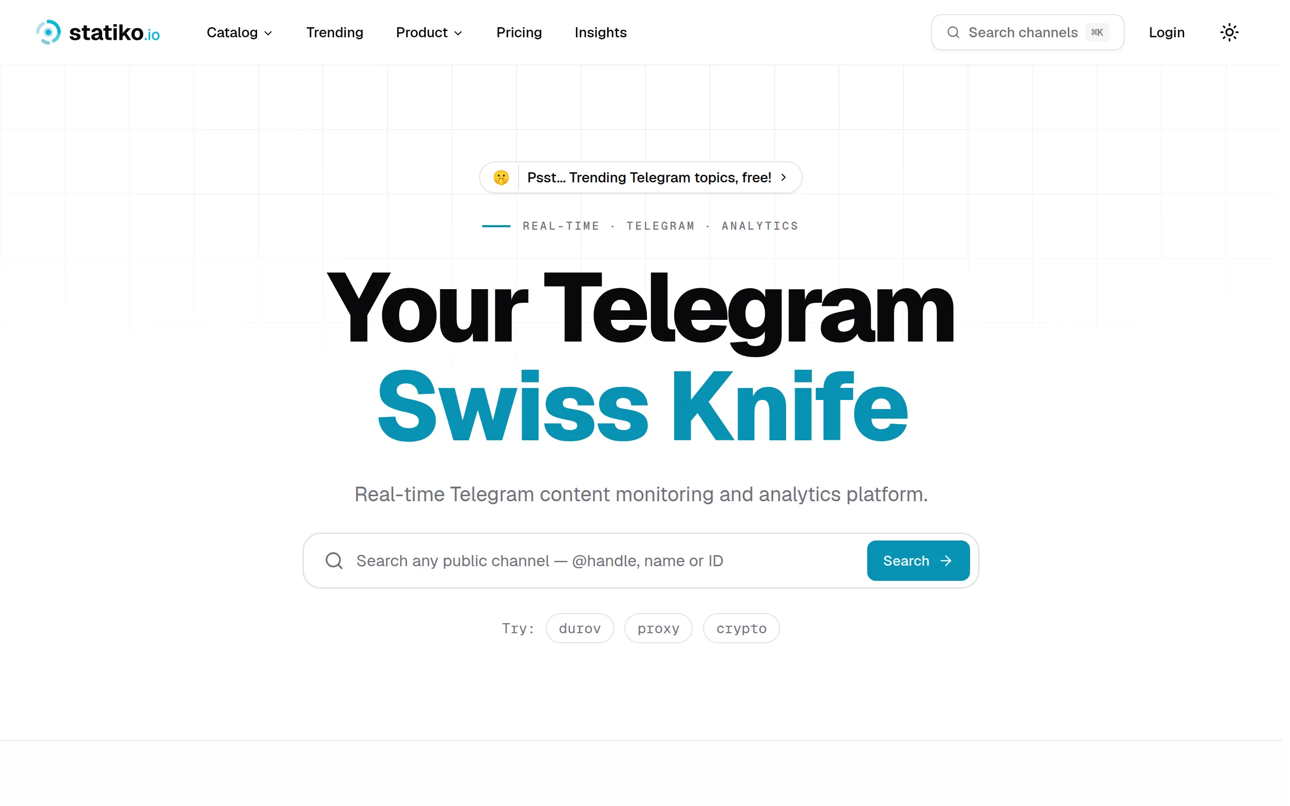
Statiko
Monitor any Telegram channel in real time - track posts, edits, deletions, and growth with AI recaps 📡
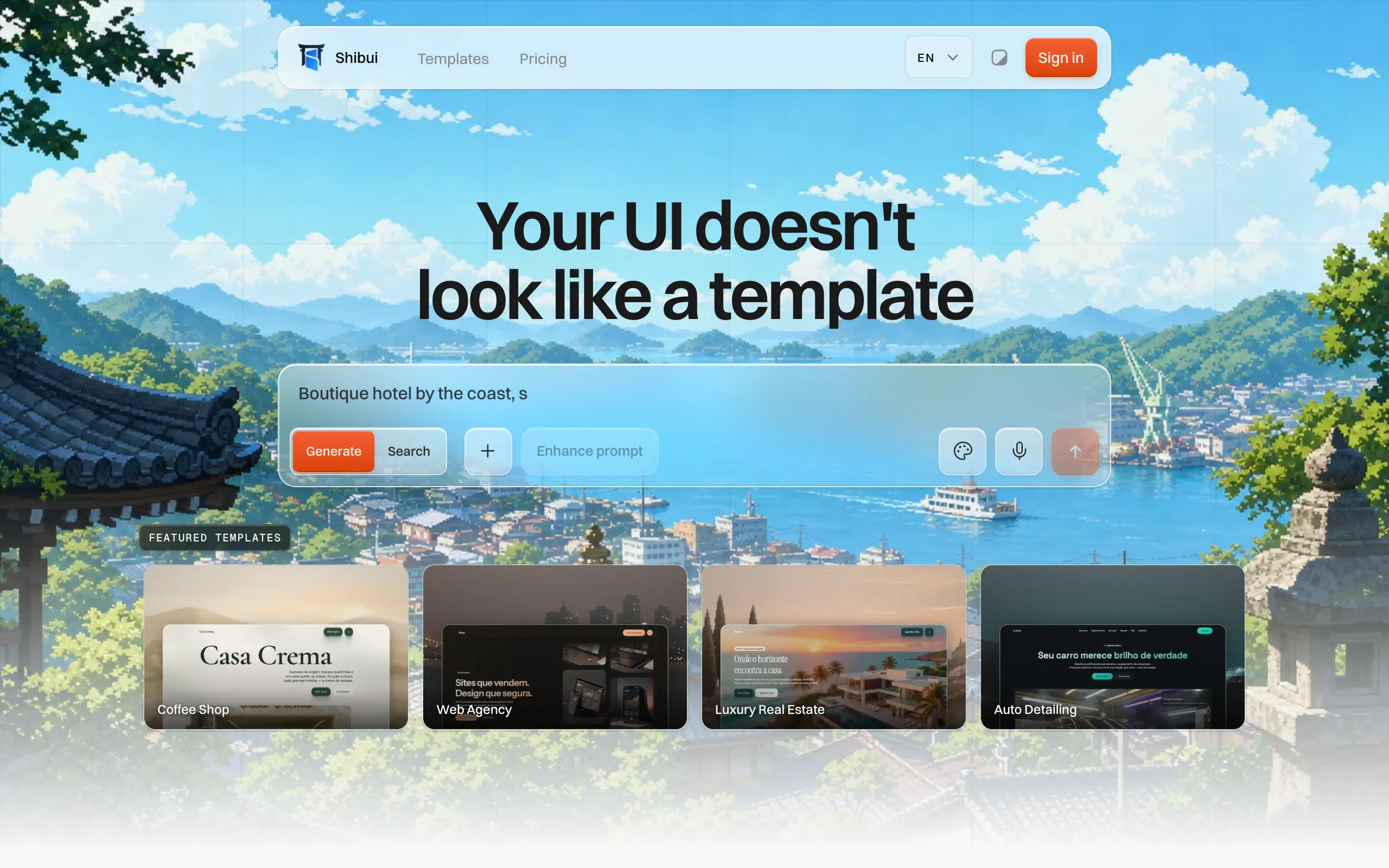
Shibui
AI website builder - describe your business, pick a niche template, edit by chatting, and publish instantly ✨

Pro Service
Find verified home service professionals, compare quotes, and pay securely through escrow - built for Brazilians across the US 🏠
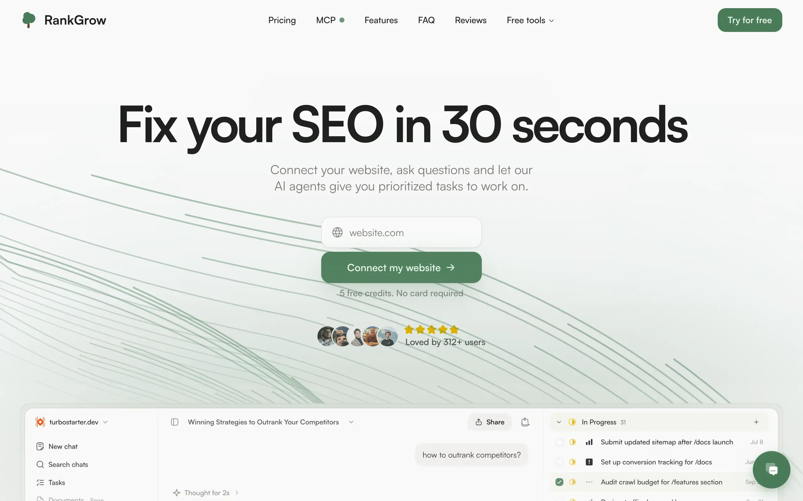
RankGrow
Fix your SEO with AI agents - connect Search Console, get prioritized tasks, and grow organic traffic 📈
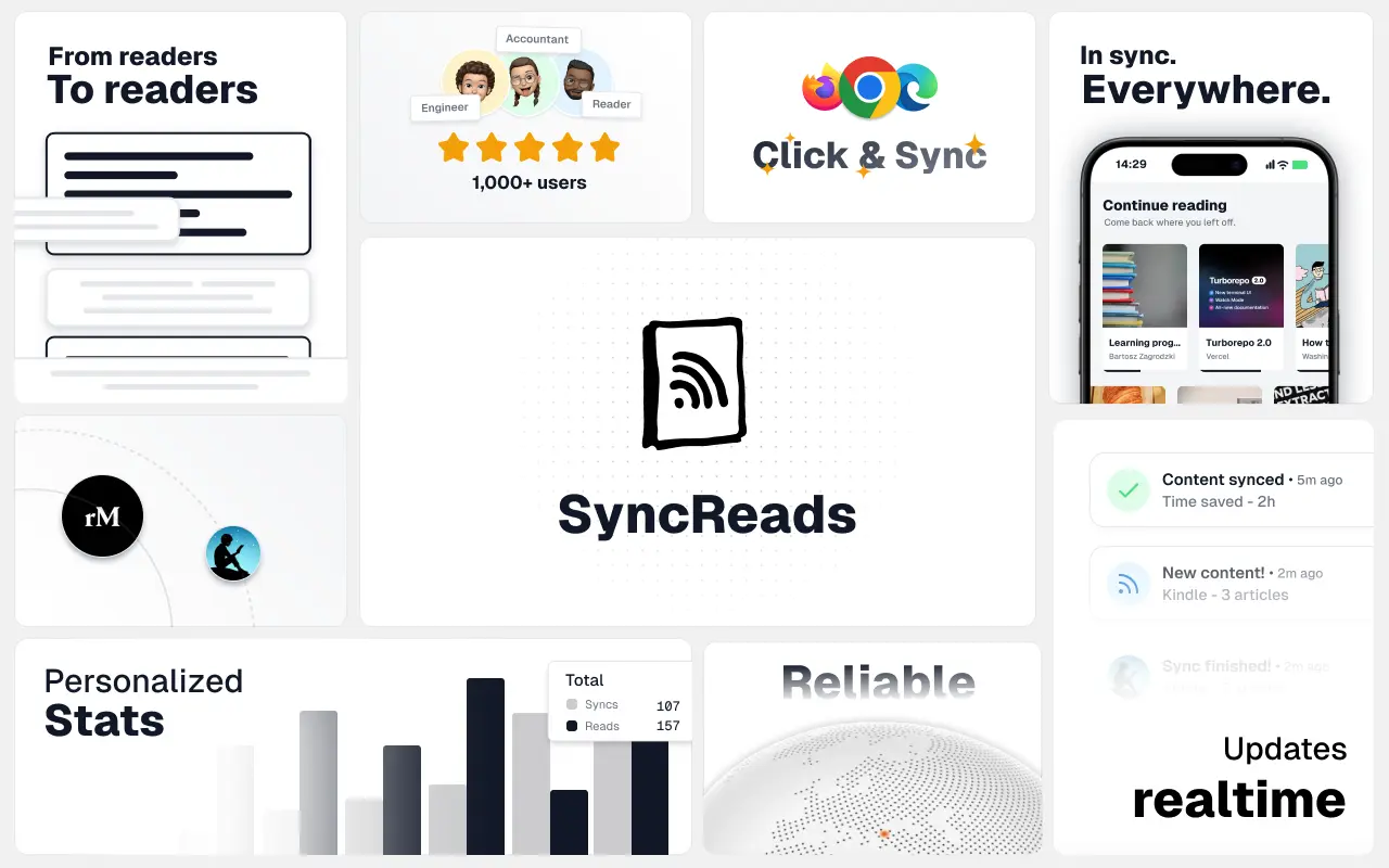
SyncReads
Sync your favorite content for distraction-free reading, save time and replace multiple apps. Anytime, anywhere 🔄
Socialcrawl
Get clean, structured data from 21 platforms like TikTok, Instagram, and YouTube with a single request 📊
Statiko
Monitor any Telegram channel in real time - track posts, edits, deletions, and growth with AI recaps 📡
Shibui
AI website builder - describe your business, pick a niche template, edit by chatting, and publish instantly ✨
Pro Service
Find verified home service professionals, compare quotes, and pay securely through escrow - built for Brazilians across the US 🏠
RankGrow
Fix your SEO with AI agents - connect Search Console, get prioritized tasks, and grow organic traffic 📈
SyncReads
Sync your favorite content for distraction-free reading, save time and replace multiple apps. Anytime, anywhere 🔄
Socialcrawl
Get clean, structured data from 21 platforms like TikTok, Instagram, and YouTube with a single request 📊
Statiko
Monitor any Telegram channel in real time - track posts, edits, deletions, and growth with AI recaps 📡
Shibui
AI website builder - describe your business, pick a niche template, edit by chatting, and publish instantly ✨
Pro Service
Find verified home service professionals, compare quotes, and pay securely through escrow - built for Brazilians across the US 🏠
RankGrow
Fix your SEO with AI agents - connect Search Console, get prioritized tasks, and grow organic traffic 📈
SyncReads
Sync your favorite content for distraction-free reading, save time and replace multiple apps. Anytime, anywhere 🔄
Socialcrawl
Get clean, structured data from 21 platforms like TikTok, Instagram, and YouTube with a single request 📊
Statiko
Monitor any Telegram channel in real time - track posts, edits, deletions, and growth with AI recaps 📡
Shibui
AI website builder - describe your business, pick a niche template, edit by chatting, and publish instantly ✨
Pro Service
Find verified home service professionals, compare quotes, and pay securely through escrow - built for Brazilians across the US 🏠
RankGrow
Fix your SEO with AI agents - connect Search Console, get prioritized tasks, and grow organic traffic 📈
SyncReads
Sync your favorite content for distraction-free reading, save time and replace multiple apps. Anytime, anywhere 🔄
Socialcrawl
Get clean, structured data from 21 platforms like TikTok, Instagram, and YouTube with a single request 📊
Dotallio
Personalized AI apps that automate research, data extraction, and content creation without code 🤖

Talk to Santa
Enjoy a magical live video chat or receive a unique AI-generated video greeting from Santa Claus 🎅

pozywka.pl
Scalable blog for food journalist, focused on performance and user experience 🌭
zagrodzki.me
Personal blog and portfolio of Bart Zagrodzki, where he shares his knowledge and work 💼
TurboStarter
Ship your startup everywhere. In minutes.
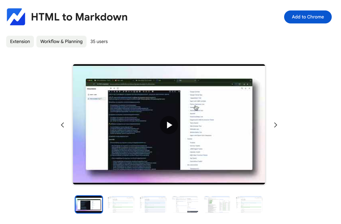
HTML to Markdown
Convert HTML to Markdown with ease, directly in your browser 📄
Dotallio
Personalized AI apps that automate research, data extraction, and content creation without code 🤖
Talk to Santa
Enjoy a magical live video chat or receive a unique AI-generated video greeting from Santa Claus 🎅
pozywka.pl
Scalable blog for food journalist, focused on performance and user experience 🌭
zagrodzki.me
Personal blog and portfolio of Bart Zagrodzki, where he shares his knowledge and work 💼
TurboStarter
Ship your startup everywhere. In minutes.
HTML to Markdown
Convert HTML to Markdown with ease, directly in your browser 📄
Dotallio
Personalized AI apps that automate research, data extraction, and content creation without code 🤖
Talk to Santa
Enjoy a magical live video chat or receive a unique AI-generated video greeting from Santa Claus 🎅
pozywka.pl
Scalable blog for food journalist, focused on performance and user experience 🌭
zagrodzki.me
Personal blog and portfolio of Bart Zagrodzki, where he shares his knowledge and work 💼
TurboStarter
Ship your startup everywhere. In minutes.
HTML to Markdown
Convert HTML to Markdown with ease, directly in your browser 📄
Dotallio
Personalized AI apps that automate research, data extraction, and content creation without code 🤖
Talk to Santa
Enjoy a magical live video chat or receive a unique AI-generated video greeting from Santa Claus 🎅
pozywka.pl
Scalable blog for food journalist, focused on performance and user experience 🌭
zagrodzki.me
Personal blog and portfolio of Bart Zagrodzki, where he shares his knowledge and work 💼
TurboStarter
Ship your startup everywhere. In minutes.
HTML to Markdown
Convert HTML to Markdown with ease, directly in your browser 📄
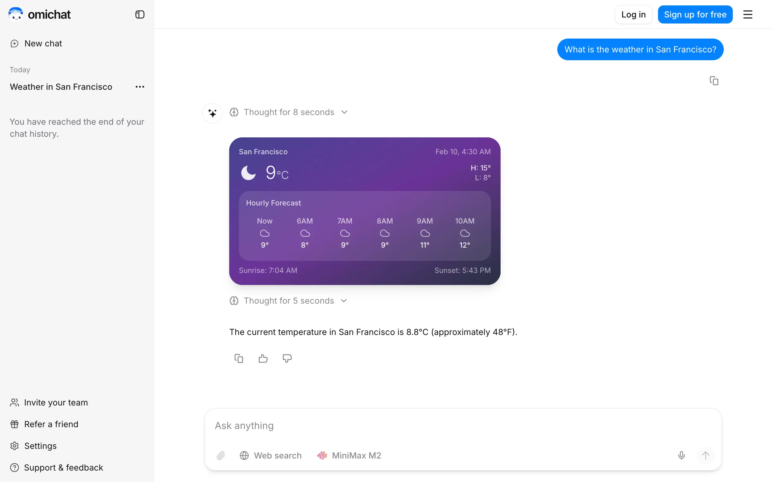
Omichat
Chat with 50+ AI models, including ChatGPT and Claude, in one place - switch models anytime without losing context 🤖
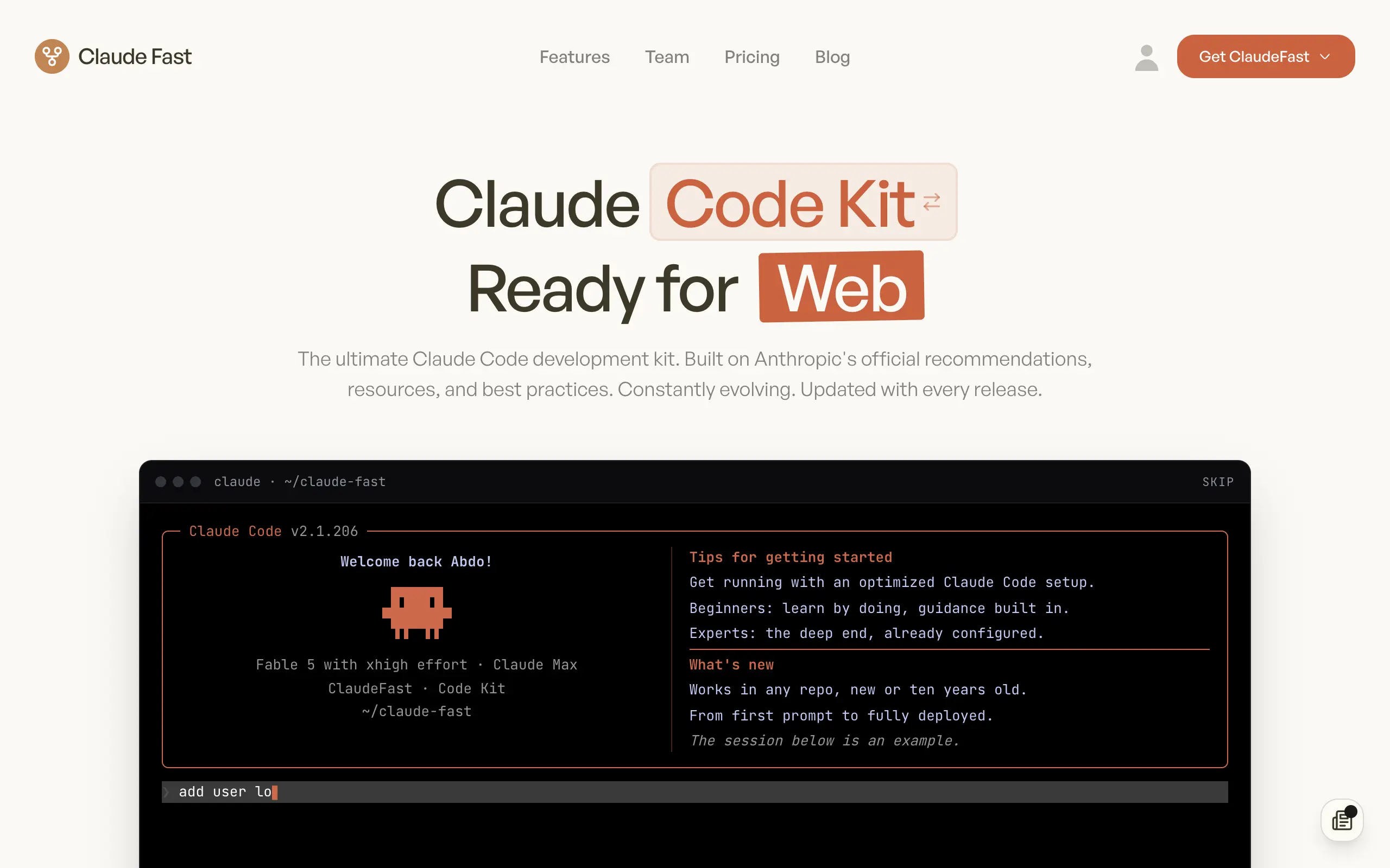
Claude Fast
Supercharge your Claude Code with 6x effective context window and specialized AI agents 🤖
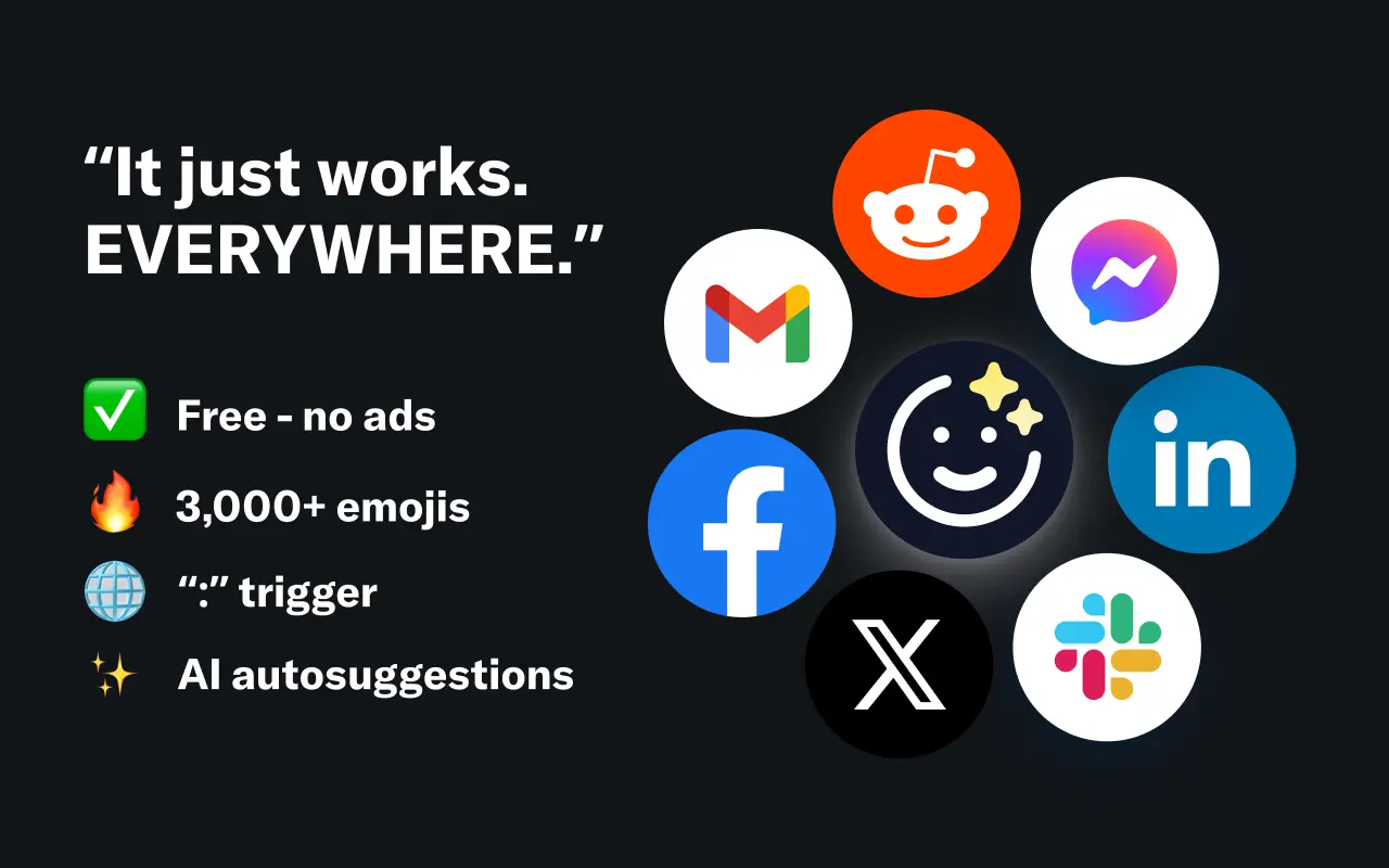
EmojAI
AI-powered emoji picker with smart, context-aware suggestions 🤖
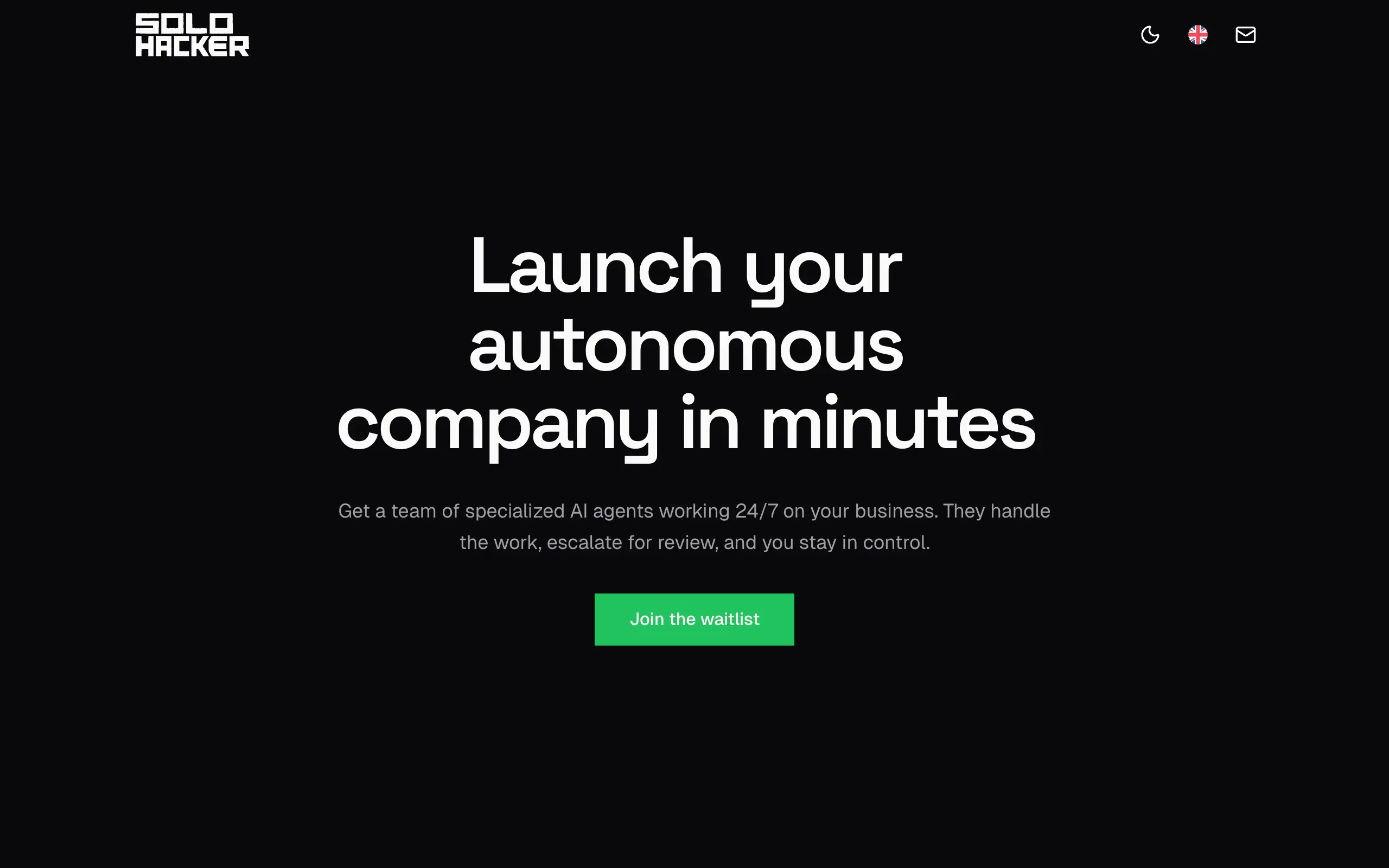
Solohacker
Autonomous company launcher - AI agents work 24/7, escalate what matters, and you stay in control 🤖

BeRawi: Storytelling Coach
Practice storytelling daily with instant feedback to sound clearer, more engaging, and confident 🎤
Omichat
Chat with 50+ AI models, including ChatGPT and Claude, in one place - switch models anytime without losing context 🤖
Claude Fast
Supercharge your Claude Code with 6x effective context window and specialized AI agents 🤖
EmojAI
AI-powered emoji picker with smart, context-aware suggestions 🤖
Solohacker
Autonomous company launcher - AI agents work 24/7, escalate what matters, and you stay in control 🤖
BeRawi: Storytelling Coach
Practice storytelling daily with instant feedback to sound clearer, more engaging, and confident 🎤
Omichat
Chat with 50+ AI models, including ChatGPT and Claude, in one place - switch models anytime without losing context 🤖
Claude Fast
Supercharge your Claude Code with 6x effective context window and specialized AI agents 🤖
EmojAI
AI-powered emoji picker with smart, context-aware suggestions 🤖
Solohacker
Autonomous company launcher - AI agents work 24/7, escalate what matters, and you stay in control 🤖
BeRawi: Storytelling Coach
Practice storytelling daily with instant feedback to sound clearer, more engaging, and confident 🎤
Omichat
Chat with 50+ AI models, including ChatGPT and Claude, in one place - switch models anytime without losing context 🤖
Claude Fast
Supercharge your Claude Code with 6x effective context window and specialized AI agents 🤖
EmojAI
AI-powered emoji picker with smart, context-aware suggestions 🤖
Solohacker
Autonomous company launcher - AI agents work 24/7, escalate what matters, and you stay in control 🤖
BeRawi: Storytelling Coach
Practice storytelling daily with instant feedback to sound clearer, more engaging, and confident 🎤

Connect with like-minded people
Join our community to get feedback, support, and grow together with 1,000+ builders on board, let's ship it!
Join usShip your startup everywhere. In minutes.
Don't burn tokens on setup and start building features on day one.